Old Maps of Scotland Neck, North Carolina for Hiking & Exploration
Hike through history with 15 historic maps of Scotland Neck. Explore old trails, ghost towns, and forgotten backroads — perfect for outdoor adventurers and local explorers.
- Rediscover forgotten places: Map out old mining camps, roads, and footpaths that no longer exist on modern maps.
- Layer with modern tools: Combine with LiDAR or satellite views to plan hikes through historical terrain.
- Made for exploration: Popular among hikers, overlanders, and local history lovers.
Use these maps to find adventure and explore the hidden past of Scotland Neck.
Scotland Neck, NC maps
(15)- 1953 Map of Norfolk, 1954 Print
 1953 Norfolk1954 Print · USGSCoastal Virginia and northeastern North Carolina appear here during the post-war industrial boom, showing the critical rail-and-sea connections of Hampton Roads. Genealogists can trace family roots through rural landmarks like Gethsemane Ch, the Caledonia State Prison Farm, and the vast interior of the Dismal Swamp.4 unique versions available
 - 1962 Map of Scotland Neck, 1964 Print
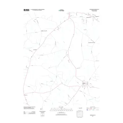
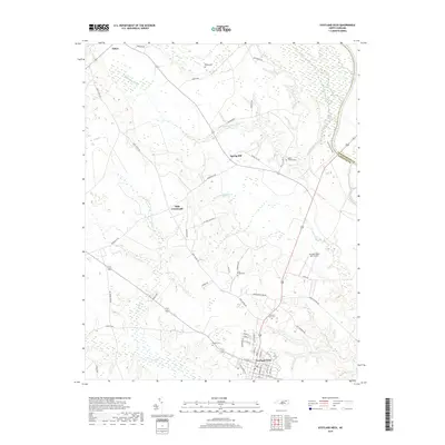
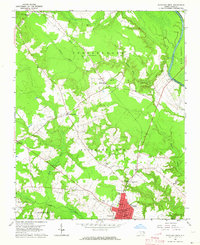 1962 Scotland Neck1964 Print · USGSCoastal plain agriculture and rail-side commerce define this corner of Halifax County in the early sixties. Researchers can trace family history through numerous landmarks like Tillery Chapel Sch, Madry Cemetery, and the Atlantic Coast Line rail corridor.
 - 1962 Map of Hobgood, 1964 Print
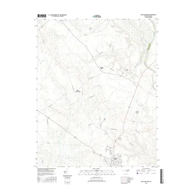
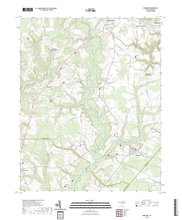
 1962 Hobgood1964 Print · USGSThe rural landscape of Halifax and Edgecombe counties is captured here in the early sixties, centered on the railroad town of Hobgood. Researchers can trace old family sites and rural landmarks like the Leggett House Cem, Shield Sch, and Kehukee Ch.2 unique versions available
 - 1985 Map of Roanoke Rapids
 1985 Roanoke Rapids1985 Print · USGSNorthern North Carolina's river-driven economy is on display here in the mid-1980s, from the hydro-power at Roanoke Rapids to the rural millponds. Genealogists can trace family lands near Wiccacanee Pond, Mush Island, or the remote Urahaw Swamp.2 unique versions available
 - 1997 Map of Hobgood, 2000 Print
 1997 Hobgood2000 Print · USGSCoastal plain settlements and family crossroads define this North Carolina landscape in the late nineties. Researchers can trace ancestral locations through dozens of named sites like Leggett House Cem, Shield Sch, and Mullins Crossroads.
 - 2010 Map of Scotland Neck, 2010 Print
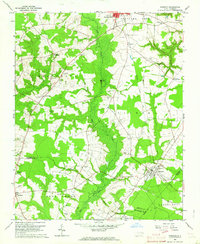
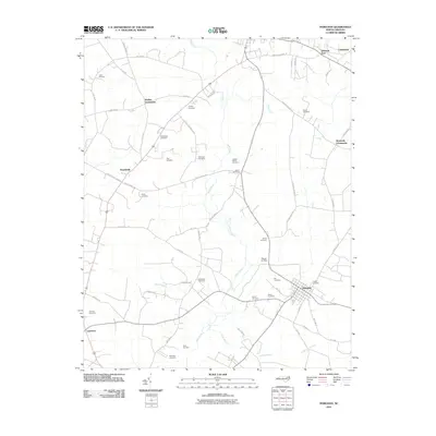
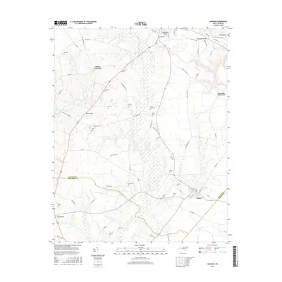
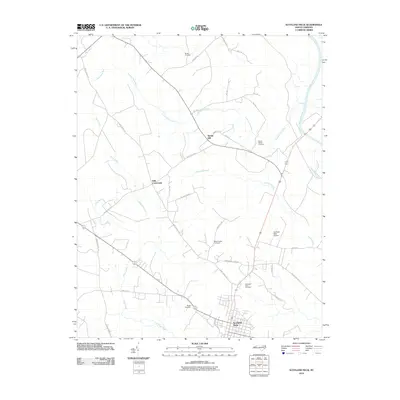 2010 Scotland Neck2010 Print · USGSCovers Scotland Neck, including Spring Hill, Hills Crossroads, and other nearby areas
 - 2010 Map of Hobgood, 2010 Print
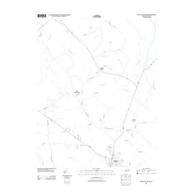
 2010 Hobgood2010 Print · USGSCovers Scotland Neck, including Hobgood, Mullins Crossroads, and other nearby areas
 - 2013 Map of Hobgood, 2013 Print
 2013 Hobgood2013 Print · USGSCovers Scotland Neck, including Hobgood, Mullins Crossroads, and other nearby areas
 - 2013 Map of Scotland Neck, 2013 Print
 2013 Scotland Neck2013 Print · USGSCovers Scotland Neck, including Spring Hill, Hills Crossroads, and other nearby areas
 - 2016 Map of Scotland Neck, 2016 Print
 2016 Scotland Neck2016 Print · USGSCovers Scotland Neck, including Spring Hill, Hills Crossroads, and other nearby areas
 - 2016 Map of Hobgood, 2016 Print
 2016 Hobgood2016 Print · USGSCovers Scotland Neck, including Hobgood, Mullins Crossroads, and other nearby areas
 - 2019 Map of Scotland Neck, 2019 Print
 2019 Scotland Neck2019 Print · USGSCovers Scotland Neck, including Spring Hill, Hills Crossroads, and other nearby areas
 - 2019 Map of Hobgood, 2019 Print
 2019 Hobgood2019 Print · USGSCovers Scotland Neck, including Hobgood, Mullins Crossroads, and other nearby areas
 - 2022 Map of Hobgood, 2022 Print
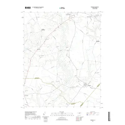
 2022 Hobgood2022 Print · USGSThe borderlands of Halifax, Edgecombe, and Martin counties come into focus in the early 2020s. Genealogists can trace family heritage across numerous sites including Hardy, Manning, and Whitehead cemeteries near the Roseneath community.
 - 2022 Map of Scotland Neck, 2022 Print
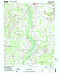
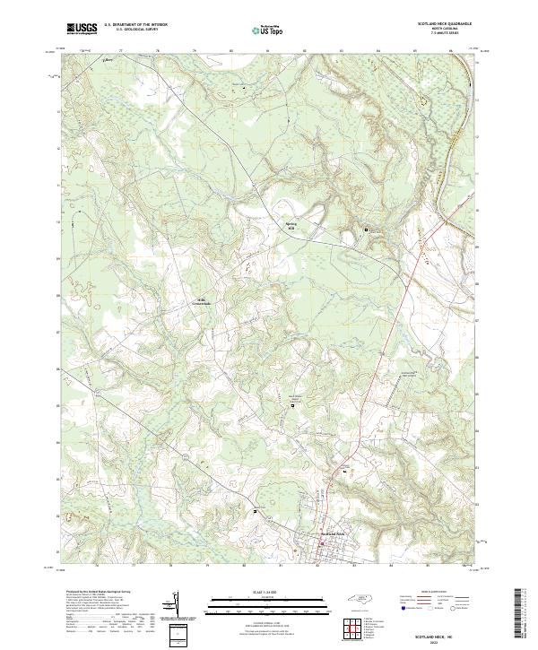 2022 Scotland Neck2022 Print · USGSScotland Neck and the Roanoke River valley are shown here in the early twenty-first century as a landscape of rural crossroads and river-bottom swamps. Researchers can locate numerous burial sites like Shield Cem or trace the old routes connecting Tillery and Spring Hill.
End of results
Showing maps 1-15 of 15
Top cities near Scotland Neck
- Tarboro historical maps
- Rich Square historical maps
- Woodland historical maps
- Hamilton historical maps
- Hobgood historical maps
- Oak City historical maps
See more
Frequently asked questions
- What are the different types of historical maps available for Scotland Neck?
- What is the oldest map of Scotland Neck?
- Where can I purchase historical maps of Scotland Neck for my home or office?
- Where can I download high-res historical maps of Scotland Neck?
- Are there historical topographic maps available for Scotland Neck?
- Is there historical aerial imagery available for Scotland Neck?
- Where are historical maps of Scotland Neck sourced from?