1900s (20th Century) Maps of Waynesville, North Carolina
Explore 28 historic maps of Waynesville from the 1900s (20th Century). These maps offer a rare glimpse into what life looked like during the 1900s — showing old roads, neighborhoods, homes, and landmarks that have changed or disappeared over time.
Whether you're researching your family's past, planning a metal detecting trip, or studying how Waynesville's landscape evolved across the 1900s, these high-resolution maps are a powerful tool for exploring the history of this region.
- Focus on a specific era: All maps on this page are from the 1900s, giving you a focused view of this time period.
- See what’s changed: Compare century-old streets, trails, and buildings to today's modern landscape using overlays and satellite layers.
- Research with precision: Use these maps for genealogy, historical research, land use analysis, or educational projects.
- View, download, or print: Maps are fully viewable online in high resolution, and can be downloaded or printed for your own records.
Start exploring Waynesville's history through authentic maps from the 1900s. This is your window into the past.
Waynesville, NC maps
(28)- 1901 Map of Asheville
 1901 Asheville1901 Print · USGSWestern North Carolina at the turn of the century shows a mountain landscape adapting to the arrival of major railroads. Genealogists and historians can trace family-named peaks and early communities like Mars Hill, Hot Springs, and the estates at Biltmore.9 unique versions available
 - 1905 Map of Pisgah, 1956 Print
 1905 Pisgah1956 Print · USGSThe North Carolina high country around the turn of the century reveals a land of timber tracts and emerging mountain retreats. Genealogists and hikers can trace early routes to Buck Spring Lodge, follow the Southern RR tracks, and locate vanished settlements like Angeline and Calhoun.
 - 1906 Map of Pisgah, 1934 Print
 1906 Pisgah1934 Print · USGSThe Blue Ridge highlands at the turn of the century reveal a landscape of mountain river valleys and early timber frontiers. Genealogists and historians can trace family-named bridges and crossings like Graham Bridge or locate vanished settlements such as Grange and Retreat.2 unique versions available
 - 1907 Map of Cowee
 1907 Cowee1907 Print · USGSWestern North Carolina at the turn of the century shows a landscape of rail-connected river towns and high mountain gaps. Genealogists can trace early homesteads and industry through landmarks like West Mill, Roanes Mill, and the many settlements along the Southern Railway.5 unique versions available
 - 1912 Map of Mt Guyot
 1912 Mt Guyot1912 Print · USGSThe Tennessee and North Carolina borderlands come into focus in the early twentieth century, prior to the creation of the Great Smoky Mountains National Park. Trace ancestral locations like Cataloochee and Smokemont or follow the Southern RR to Newport.5 unique versions available
 - 1935 Map of Waynesville
 1935 Waynesville1935 Print · USGSWaynesville and the surrounding Haywood County peaks are captured here in the mid-1930s as the regional economy balanced town industry with upland farming. Researchers can trace families near Greenhill Cem, locate the Cecil Sch, and follow the old routes of State Highway No 10.
 - 1935 Map of Dellwood
 1935 Dellwood1935 Print · USGSHaywood County in the mid-1930s is a landscape of high mountain coves and valley settlements at the edge of the Smokies. Genealogists can trace early family sites at Yarbrough Cem and Suttontown Sch or locate the community at Maggie.
 - 1935 Map of Clyde
 1935 Clyde1935 Print · USGSThe Pigeon River valley comes into focus in the mid-1930s, showing the early development of Clyde and Waynesville. Genealogists can trace family names at Medford Cem or locate remote landmarks like the Chambers Fire Tower and Hyder Mtn Sch.
 - 1935 Map of Hazelwood
 1935 Hazelwood1935 Print · USGSHaywood and Jackson counties meet along these high ridgelines during the mid-1930s, where the Southern railway climbs toward the clouds. Researchers can locate early family landmarks like Plott Cem, the Allen Creek Sch, and high-altitude settlements at Balsam and Clarks Siding.
 - 1941 Map of Dellwood
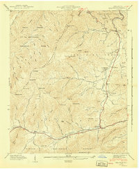 1941 Dellwood1941 Print · USGSHaywood County’s high valleys appear here in the early 1940s, showing a landscape of small creek-side settlements and national forest boundaries. Researchers can locate family landmarks like Howell Cem, rural institutions such as Rock Hill Sch, and the scattered homes of Suttontown.7 unique versions available
 - 1941 Map of Clyde, 1956 Print
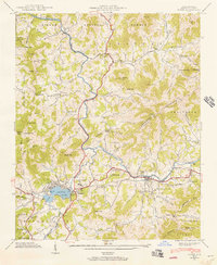 1941 Clyde1956 Print · USGSHaywood County is seen here in the early 1940s, where the Pigeon River and SOUTHERN railroad shaped the local valley economies. Researchers can trace family sites from Lake Junaluska to rural landmarks like Antioch Ch and Bonaventure Cem.
 - 1941 Map of Waynesville, 1956 Print
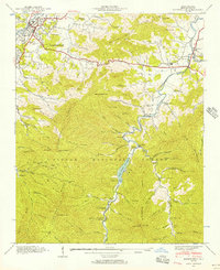 1941 Waynesville1956 Print · USGSWaynesville and the surrounding Blue Ridge coves are captured here in the early 1940s as the regional economy balanced valley industry with mountain resources. Genealogists and hikers can trace family sites like Ratcliff Cove Ch, the Big Ridge Mine, and Lake Logan.3 unique versions available
 - 1941 Map of Hazelwood, 1957 Print
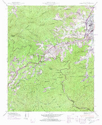 1941 Hazelwood1957 Print · USGSThe high passes of the Plott Balsams were a vital rail and road corridor in the early 1940s. Genealogists and historians can trace the foundations of Hazelwood and Balsam, finding remote sites like the Grassy Ridge Mine and Redbank Cem.7 unique versions available
 - 1942 Map of Waynesville
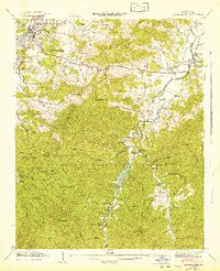 1942 Waynesville1942 Print · USGSWaynesville and the high peaks of the Blue Ridge are captured here in the early 1940s as the regional timber and mountain economy matured. Genealogists can locate family landmarks like Elizabeth Chapel, Greenhill Cem, and the rural Cecil Sch.2 unique versions available
 - 1942 Map of Hazelwood
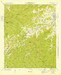 1942 Hazelwood1942 Print · USGSThe mountain communities around WAYNESVILLE and Hazelwood are shown just before the mid-century during this era of rail travel and early industry. Trace family sites at the Allen Creek Sch or search for local landmarks like the Grassy Ridge Mine and Redbank Cem.
 - 1942 Map of Clyde
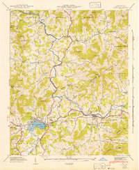 1942 Clyde1942 Print · USGSHaywood County at the start of the 1940s reveals a landscape of tight-knit cove communities and river-valley industry. Genealogists and historians can trace family locations through Lake Junaluska, Old Thickety Ch, and the many coves like Heines Cove.
 - 1955 Map of Knoxville
 1955 Knoxville1955 Print · USGSThe Southern Appalachians and the Smoky Mountains are shown here at a peak of mid-century development and conservation. Genealogists and historians can trace the early road networks connecting Gatlinburg, Waynesville, and the Cherokee Indian Reservation across the high ridges.
 - 1957 Map of Knoxville, 1966 Print
 1957 Knoxville1966 Print · USGSThe Southern Appalachians of Tennessee and North Carolina are mapped here during the mid-twentieth century as new highways reached the high country. Genealogists and historians can trace the topography between Knoxville and Asheville, locating family landmarks near Fontana Lake or along the Blue Ridge Parkway.4 unique versions available
 - 1960 Map of Knoxville
 1960 Knoxville1960 Print · USGSThe Southern Appalachians come alive in the 1950s, showing the intersection of new national park tourism and deep-rooted mountain industry. Trace old rail lines like the Clinchfield RR and find high-altitude landmarks from Mt Le Conte to the Cherokee Indian Reservation.2 unique versions available
 - 1964 Map of Knoxville
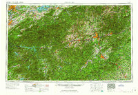 1964 Knoxville1964 Print · USGSThe Southern Appalachians and Great Smokies are captured here during the mid-sixties, showing the rugged borderlands of Tennessee and North Carolina. Researchers can trace historic mountain routes like U S 441, the expanse of Pisgah National Forest, and the growing footprints of Asheville and Knoxville.
 - 1967 Map of Clyde
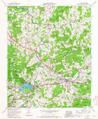 1967 Clyde1967 Print · USGSThe mountain valleys of Haywood County come alive in this late 1960s study, showcasing the development around Lake Junaluska and the PIGEON RIVER. Researchers can trace local genealogy through numerous sites like Ratcliffe Cove Cem and the Crabtree Iron Duff High Sch.3 unique versions available
 - 1976 Map of Dellwood, 1979 Print
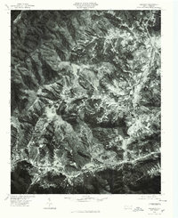 1976 Dellwood1979 Print · USGSMid-century mountain life in western North Carolina comes into focus through this 1970s aerial survey. You can trace the valley settlements of Maggie and Dellwood alongside the forested heights of Moody Top and Cataloochee.
 - 1983 Map of Fontana Lake
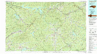 1983 Fontana Lake1983 Print · USGSWestern North Carolina's high peaks and reservoir-carved valleys are documented here during the early eighties. Genealogists and local historians can trace the mountain communities of Bryson City and Franklin or explore the boundaries of the Qualla Boundary.2 unique versions available
 - 1983 Map of Knoxville, 1984 Print
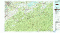 1983 Knoxville1984 Print · USGSThe Tennessee valley and the rising Smokies are captured here in the early eighties, showing the region as the tourism and transit hub of the Southern Appalachians. Researchers can trace the layout of the University of Tennessee or locate rural landmarks like Shady Grove Ch and Pleasant Hill Cem.
 - 1985 Map of Asheville
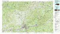 1985 Asheville1985 Print · USGSWestern North Carolina during the mid-eighties shows a region of deep mountain heritage and expanding highway networks. Genealogists and historians can trace the foundations of Asheville alongside older rail corridors like the Clinchfield Railroad and the high elevations of Mount Mitchell.2 unique versions available
Showing maps 1-25 of 28
Top cities near Waynesville
- Cullowhee historical maps
- Brevard historical maps
- Canton historical maps
- Sylva historical maps
- Clyde historical maps
- Maggie Valley historical maps
See more
Top neighborhoods of Waynesville
Frequently asked questions
- What are the different types of historical maps available for Waynesville?
- What is the oldest map of Waynesville?
- Where can I purchase historical maps of Waynesville for my home or office?
- Where can I download high-res historical maps of Waynesville?
- Are there historical topographic maps available for Waynesville?
- Is there historical aerial imagery available for Waynesville?
- Where are historical maps of Waynesville sourced from?