Old Maps of Ahoskie, North Carolina for Genealogy
Trace your family roots with 16 historic maps of Ahoskie. These high-res maps reveal old neighborhoods, homesites, landmarks, and streets — helping you uncover where your ancestors lived and how the area evolved over time.
- Explore historic neighborhoods: Identify where your relatives may have lived in the 1800s or 1900s.
- Compare maps over time: Trace the changes in streets, buildings, and landmarks for multi-generational research.
- Perfect for genealogy & ancestry research: Used by family historians and researchers to map out lineage and migration.
These maps are an incredible resource for exploring your personal connection to Ahoskie's past.
Ahoskie, NC maps
(16)- 1908 Map of Winton, 1944 Print
 1908 Winton1944 Print · USGSHertford and Gates counties thrive along the Chowan River at the turn of the century, dominated by river landings and expanding rail lines. Genealogists can trace family roots through sites like Buckland School, Sarem Grove Church, and the isolated Greens Reduco PO.2 unique versions available
 - 1953 Map of Norfolk, 1954 Print
 1953 Norfolk1954 Print · USGSCoastal Virginia and northeastern North Carolina appear here during the post-war industrial boom, showing the critical rail-and-sea connections of Hampton Roads. Genealogists can trace family roots through rural landmarks like Gethsemane Ch, the Caledonia State Prison Farm, and the vast interior of the Dismal Swamp.4 unique versions available
 - 1977 Map of Union
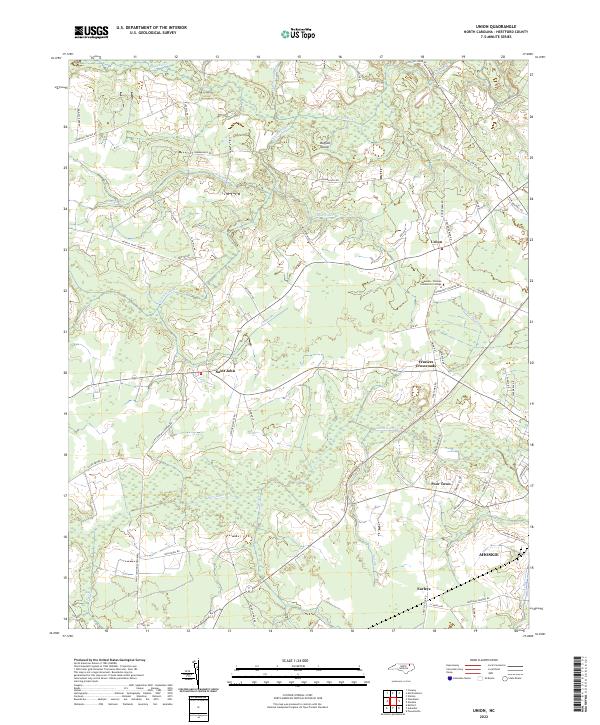
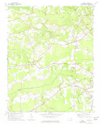 1977 Union1977 Print · USGSHertford County in the late 1970s is a landscape of rural crossroads and stream-fed lowlands. Genealogists and historians can trace family locations through numerous rural cemeteries and sites like St Johns Ch, Poor Town, and Fraziers Crossroads.
 - 1982 Map of Ahoskie
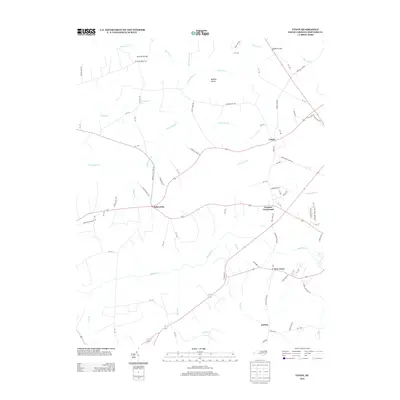
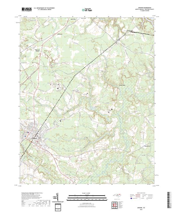
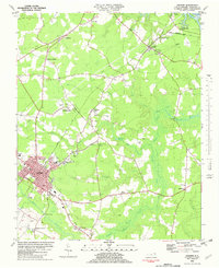 1982 Ahoskie1982 Print · USGSHertford County thrives as a rail and agricultural hub in the early eighties, centered on the growing town of Ahoskie. Trace old family roots at Brinkley Cem or explore the rail networks connecting Tunis and Cofield near the Wiccacon River.
 - 1985 Map of Elizabeth City
 1985 Elizabeth City1985 Print · USGSCoastal North Carolina's rivers and sounds define the landscape of the mid-eighties, from the vast swamps to the historical waterfronts of Elizabeth City and Edenton. Researchers can trace the rail lines of the Southern Ry or locate landmarks like Beaver Hill Cem and South Mills.2 unique versions available
 - 1985 Map of Roanoke Rapids
 1985 Roanoke Rapids1985 Print · USGSNorthern North Carolina's river-driven economy is on display here in the mid-1980s, from the hydro-power at Roanoke Rapids to the rural millponds. Genealogists can trace family lands near Wiccacanee Pond, Mush Island, or the remote Urahaw Swamp.2 unique versions available
 - 2010 Map of Union, 2010 Print
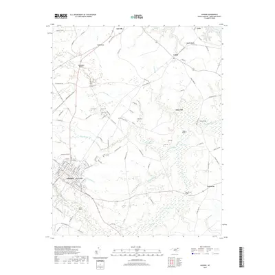
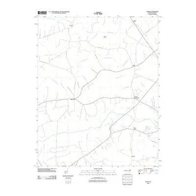 2010 Union2010 Print · USGSCovers Ahoskie, including Union, Earleys, and other nearby areas
 - 2010 Map of Ahoskie, 2010 Print
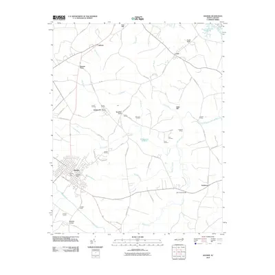 2010 Ahoskie2010 Print · USGSCovers Ahoskie, including Cofield, Bethlehem, and other nearby areas
 - 2013 Map of Union, 2013 Print
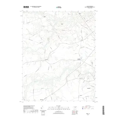
 2013 Union2013 Print · USGSCovers Ahoskie, including Union, Earleys, and other nearby areas
 - 2013 Map of Ahoskie, 2013 Print
 2013 Ahoskie2013 Print · USGSCovers Ahoskie, including Cofield, Bethlehem, and other nearby areas
 - 2016 Map of Ahoskie, 2016 Print
 2016 Ahoskie2016 Print · USGSCovers Ahoskie, including Cofield, Bethlehem, and other nearby areas
 - 2016 Map of Union, 2016 Print
 2016 Union2016 Print · USGSCovers Ahoskie, including Union, Earleys, and other nearby areas
 - 2019 Map of Ahoskie, 2019 Print
 2019 Ahoskie2019 Print · USGSCovers Ahoskie, including Cofield, Bethlehem, and other nearby areas
 - 2019 Map of Union, 2019 Print
 2019 Union2019 Print · USGSCovers Ahoskie, including Union, Earleys, and other nearby areas
 - 2022 Map of Ahoskie, 2022 Print
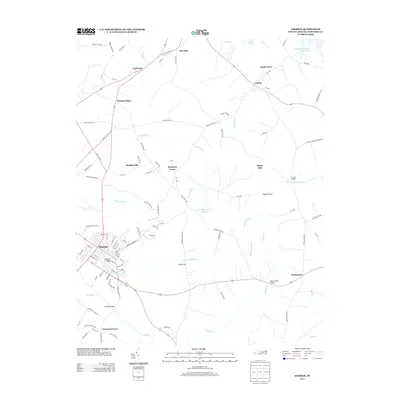
 2022 Ahoskie2022 Print · USGSCoastal plain wetlands and small rural settlements dominate this part of Hertford County during the early 2020s. Researchers can locate family landmarks such as Brinkley Cem and Willoughby Cem or trace old water-powered sites at Dildys Mill.
 - 2022 Map of Union, 2022 Print
 2022 Union2022 Print · USGSHertford County at the start of the 2020s remains a landscape shaped by its winding waterways and rural settlements. Researchers can trace local landmarks like Fraziers Crossroads, Poor Town, and the sprawling campus of Roanoke-Chowan Community College.
End of results
Showing maps 1-16 of 16
Top cities near Ahoskie
- Murfreesboro historical maps
- Winton historical maps
- Aulander historical maps
- Woodland historical maps
- Conway historical maps
- Lewiston Woodville historical maps
See more
Top neighborhoods of Ahoskie
Frequently asked questions
- What are the different types of historical maps available for Ahoskie?
- What is the oldest map of Ahoskie?
- Where can I purchase historical maps of Ahoskie for my home or office?
- Where can I download high-res historical maps of Ahoskie?
- Are there historical topographic maps available for Ahoskie?
- Is there historical aerial imagery available for Ahoskie?
- Where are historical maps of Ahoskie sourced from?