Old Maps of Mount Gallows, North Carolina for Metal Detecting
Plan your next treasure hunt with 10 historic maps of Mount Gallows. Find old homesites, ghost towns, trails, and gathering spots that may be lost to time — perfect for identifying promising metal detecting locations.
- Locate forgotten sites: Uncover places like long-lost settlements, abandoned rail lines, or gathering spots.
- Plan better hunts: Use map overlays combined with LiDAR or satellite views to narrow in on historically rich areas.
- Made for detectorists: Thousands of hobbyists use these maps to discover relics, coins, and hidden history.
Use these historic maps to boost your research and find new opportunities beneath the surface of Mount Gallows.
Mount Gallows, NC maps
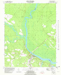
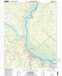
(10)- 1908 Map of Winton, 1944 Print
 1908 Winton1944 Print · USGSHertford and Gates counties thrive along the Chowan River at the turn of the century, dominated by river landings and expanding rail lines. Genealogists can trace family roots through sites like Buckland School, Sarem Grove Church, and the isolated Greens Reduco PO.2 unique versions available
 - 1953 Map of Norfolk, 1954 Print
 1953 Norfolk1954 Print · USGSCoastal Virginia and northeastern North Carolina appear here during the post-war industrial boom, showing the critical rail-and-sea connections of Hampton Roads. Genealogists can trace family roots through rural landmarks like Gethsemane Ch, the Caledonia State Prison Farm, and the vast interior of the Dismal Swamp.4 unique versions available
 - 1982 Map of Winton
 1982 Winton1982 Print · USGSHertford and Gates Counties are mapped here in the early eighties as the riverfront communities along the Chowan River evolved. Genealogists and local historians can trace family-named sites like Askew Cem, Mt Moriah Ch, and the Brown Sch.
 - 1985 Map of Elizabeth City
 1985 Elizabeth City1985 Print · USGSCoastal North Carolina's rivers and sounds define the landscape of the mid-eighties, from the vast swamps to the historical waterfronts of Elizabeth City and Edenton. Researchers can trace the rail lines of the Southern Ry or locate landmarks like Beaver Hill Cem and South Mills.2 unique versions available
 - 2000 Map of Winton, 2002 Print
 2000 Winton2002 Print · USGSCoastal Plain river life and swamp topography are preserved here in the year 2000, centered on the Chowan River. Local researchers can trace family landmarks and community sites like Brown Sch, Askew Cem, and the riverfront at Chowan Beach.
 - 2010 Map of Winton, 2010 Print
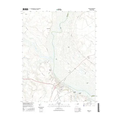
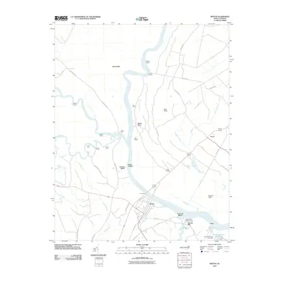 2010 Winton2010 Print · USGSCovers Mount Gallows, including Winton, Como, and other nearby areas
 - 2013 Map of Winton, 2013 Print
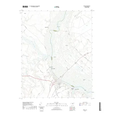
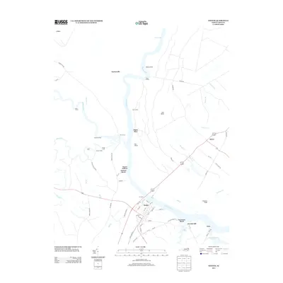 2013 Winton2013 Print · USGSCovers Mount Gallows, including Winton, Como, and other nearby areas
 - 2016 Map of Winton, 2016 Print
 2016 Winton2016 Print · USGSCovers Mount Gallows, including Winton, Como, and other nearby areas
 - 2019 Map of Winton, 2019 Print
 2019 Winton2019 Print · USGSCovers Mount Gallows, including Winton, Como, and other nearby areas
 - 2022 Map of Winton, 2022 Print
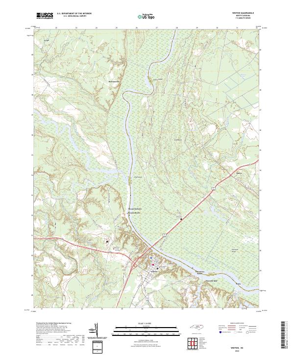 2022 Winton2022 Print · USGSThe riverside town of Winton and the surrounding Hertford County wetlands are detailed in this recent survey. Researchers can trace local genealogy at the Winton Baptist Church Cem or explore the riverfront at Tunis and Chowan Beach.
End of results
Showing maps 1-10 of 10
Top cities near Mount Gallows
- Ahoskie historical maps
- Murfreesboro historical maps
- Winton historical maps
- Aulander historical maps
- Cofield historical maps
- Newsoms historical maps
See more
Frequently asked questions
- What are the different types of historical maps available for Mount Gallows?
- What is the oldest map of Mount Gallows?
- Where can I purchase historical maps of Mount Gallows for my home or office?
- Where can I download high-res historical maps of Mount Gallows?
- Are there historical topographic maps available for Mount Gallows?
- Is there historical aerial imagery available for Mount Gallows?
- Where are historical maps of Mount Gallows sourced from?