Old Maps of Highland Creek, North Carolina for Hiking & Exploration
Hike through history with 20 historic maps of Highland Creek. Explore old trails, ghost towns, and forgotten backroads — perfect for outdoor adventurers and local explorers.
- Rediscover forgotten places: Map out old mining camps, roads, and footpaths that no longer exist on modern maps.
- Layer with modern tools: Combine with LiDAR or satellite views to plan hikes through historical terrain.
- Made for exploration: Popular among hikers, overlanders, and local history lovers.
Use these maps to find adventure and explore the hidden past of Highland Creek.
Highland Creek, NC maps
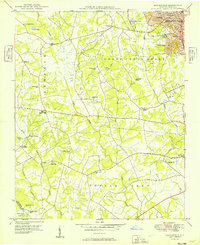
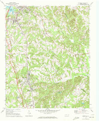
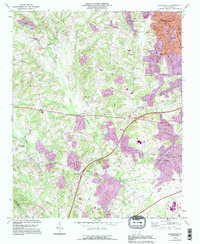
(20)- 1941 Map of Charlotte
 1941 Charlotte1941 Print · USGSCovers Highland Creek, including Charlotte, Concord, and other nearby areas
 - 1942 Map of Charlotte
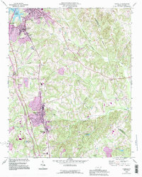
 1942 Charlotte1942 Print · USGSCovers Highland Creek, including Charlotte, Concord, and other nearby areas2 unique versions available
 - 1948 Map of Derita, 1952 Print
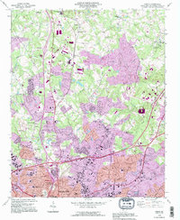
 1948 Derita1952 Print · USGSCovers Highland Creek, including Charlotte, Huntersville, and other nearby areas3 unique versions available
 - 1949 Map of Kannapolis
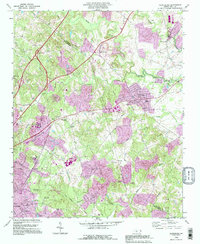
 1949 Kannapolis1949 Print · USGSCovers Highland Creek, including Charlotte, Concord, and other nearby areas
 - 1949 Map of Harrisburg
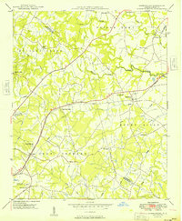 1949 Harrisburg1949 Print · USGSCovers Highland Creek, including Charlotte, Concord, and other nearby areas
 - 1953 Map of Charlotte, 1968 Print
 1953 Charlotte1968 Print · USGSCovers Highland Creek, including Charlotte, Winston-Salem, and other nearby areas3 unique versions available
 - 1954 Map of Charlotte
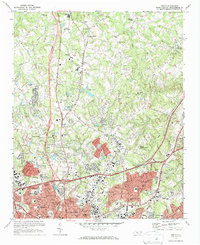
 1954 Charlotte1954 Print · USGSCovers Highland Creek, including Charlotte, Winston-Salem, and other nearby areas2 unique versions available
 - 1960 Map of Charlotte
 1960 Charlotte1960 Print · USGSCovers Highland Creek, including Charlotte, Winston-Salem, and other nearby areas2 unique versions available
 - 1962 Map of Charlotte
 1962 Charlotte1962 Print · USGSCovers Highland Creek, including Charlotte, Winston-Salem, and other nearby areas
 - 1969 Map of Harrisburg, 1972 Print
 1969 Harrisburg1972 Print · USGSCovers Highland Creek, including Charlotte, Concord, and other nearby areas2 unique versions available
 - 1969 Map of Kannapolis, 1972 Print
 1969 Kannapolis1972 Print · USGSCovers Highland Creek, including Charlotte, Concord, and other nearby areas2 unique versions available
 - 1970 Map of Cornelius, 1972 Print
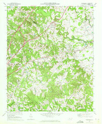
 1970 Cornelius1972 Print · USGSCovers Highland Creek, including Charlotte, Concord, and other nearby areas2 unique versions available
 - 1972 Map of Derita, 1973 Print
 1972 Derita1973 Print · USGSCovers Highland Creek, including Charlotte, Huntersville, and other nearby areas2 unique versions available
 - 1976 Map of Derita, 1978 Print
 1976 Derita1978 Print · USGSCovers Highland Creek, including Charlotte, Huntersville, and other nearby areas
 - 1976 Map of Cornelius, 1978 Print
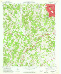
 1976 Cornelius1978 Print · USGSCovers Highland Creek, including Charlotte, Concord, and other nearby areas
 - 1985 Map of Charlotte, 1986 Print
 1985 Charlotte1986 Print · USGSCovers Highland Creek, including Charlotte, Concord, and other nearby areas2 unique versions available
 - 1993 Map of Kannapolis, 1996 Print
 1993 Kannapolis1996 Print · USGSCovers Highland Creek, including Charlotte, Concord, and other nearby areas
 - 1993 Map of Cornelius, 1996 Print
 1993 Cornelius1996 Print · USGSCovers Highland Creek, including Charlotte, Concord, and other nearby areas
 - 1993 Map of Derita, 1996 Print
 1993 Derita1996 Print · USGSCovers Highland Creek, including Charlotte, Huntersville, and other nearby areas
 - 1993 Map of Harrisburg, 1996 Print
 1993 Harrisburg1996 Print · USGSCovers Highland Creek, including Charlotte, Concord, and other nearby areas
End of results
Showing maps 1-20 of 20
Frequently asked questions
- What are the different types of historical maps available for Highland Creek?
- What is the oldest map of Highland Creek?
- Where can I purchase historical maps of Highland Creek for my home or office?
- Where can I download high-res historical maps of Highland Creek?
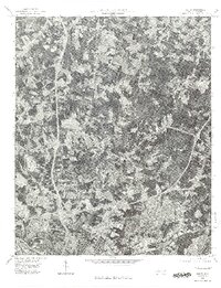
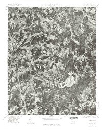
- Are there historical topographic maps available for Highland Creek?
- Is there historical aerial imagery available for Highland Creek?
- Where are historical maps of Highland Creek sourced from?