Old Maps of Love Valley, North Carolina
Explore 21 old maps of Love Valley, spanning from 1893 to today. These high-resolution historic maps reveal how streets, neighborhoods, landmarks, and natural features evolved over time — perfect for genealogy, metal detecting, research, and local history exploration.
What you can do with these maps:
- See how Love Valley changed over time: Compare historical maps to modern-day views to trace roads, homesites, rail lines & more.
- View detailed metadata: Each map includes creators, publishers, year, scale, and archive source.
- Overlay maps with satellite & LiDAR: Visualize the past alongside modern tools to explore terrain & human change.
- Trusted historical sources: Maps sourced from the USGS, Library of Congress, and other archives.
- Access maps your way: View online, download high-res files, or order prints for personal or research use.
Start exploring old maps of Love Valley to uncover forgotten places, hidden landmarks, and the deep history beneath your feet.
Love Valley, NC maps
(21)- 1893 Map of Statesville, 1934 Print
 1893 Statesville1934 Print · USGSThe North Carolina Piedmont in the late nineteenth century was a landscape of river-powered industry and rail-connected crossroads. Researchers can trace ancestral locations through dozens of named mills like Ketchies Mill and historic crossings like Cornelius Ferry or Beattie Ford.2 unique versions available
 - 1895 Map of Hickory
 1895 Hickory1895 Print · USGSThe North Carolina foothills come alive in the late nineteenth century as the rail lines reached Hickory and Newton. Genealogists can trace family roots through numerous country landmarks like Tuttle's Store, Emmanuel Church, and Cloninger's Mill.5 unique versions available
 - 1953 Map of Charlotte, 1968 Print
 1953 Charlotte1968 Print · USGSThe North Carolina Piedmont and South Carolina borderlands are shown in detail during a period of significant growth and reservoir development. Trace the rail corridors of the Southern Railway or find family roots in towns like China Grove, Misenheimer, and Lincolnton.3 unique versions available
 - 1954 Map of Charlotte
 1954 Charlotte1954 Print · USGSThe North Carolina Piedmont in the mid-1950s shows a region of rapid growth and industrial expansion centered around Charlotte. Trace the era's infrastructure through the Southern railroad lines and locate significant landmarks like the Charlotte Naval Ammunition Depot and Lake Norman.2 unique versions available
 - 1960 Map of Charlotte
 1960 Charlotte1960 Print · USGSMid-century North Carolina and South Carolina meet in this 1960 survey of the Piedmont's industrial and textile heartland. Trace the growth of Charlotte alongside historic landmarks like Kings Mountain National Military Park and the Charlotte Naval Ammunition Depot.2 unique versions available
 - 1962 Map of Charlotte
 1962 Charlotte1962 Print · USGSThe North Carolina Piedmont in the early sixties showcases a landscape transformed by massive reservoirs and industrial growth. Researchers can trace the development of Lake Norman, locate the Charlotte Naval Ammunition Depot, or find family landmarks like Wesley Chapel and Brown & Norcott Mills.
 - 1969 Map of Central, 1972 Print
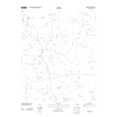
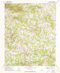 1969 Central1972 Print · USGSIredell County's rural communities are preserved here in the late sixties as the area maintained its traditional agricultural character. Genealogists can locate family landmarks like Keaton Grove Ch, the Central Sch, and the unique settlement of Love Valley.
 - 1970 Map of Hiddenite, 1972 Print
 1970 Hiddenite1972 Print · USGSAlexander County’s rolling hills and river valleys are captured here in the early 1970s, centered on the community of Hiddenite. Researchers can locate numerous rural landmarks including Linneys Grove Ch, the Quarry at Rocky Face, and the Zion Chapel Cem.
 - 1985 Map of Salisbury, 1986 Print
 1985 Salisbury1986 Print · USGSNorth Carolina’s industrial Piedmont region comes into focus during the mid-eighties as textile and rail towns expanded. Genealogists and historians can locate rural landmarks like Davidson College and Boones Cave State Park or trace the Southern Railway through Lexington and Salisbury.2 unique versions available
 - 1986 Map of Hickory
 1986 Hickory1986 Print · USGSWestern North Carolina's foothills are seen here in the mid-eighties as textile and furniture towns flourished along the river. Trace the development of Hickory and Lenoir or locate local landmarks like Burke Chapel, Saw Mills, and Rhodhiss Lake.3 unique versions available
 - 1997 Map of Central, 2000 Print
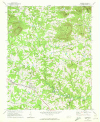
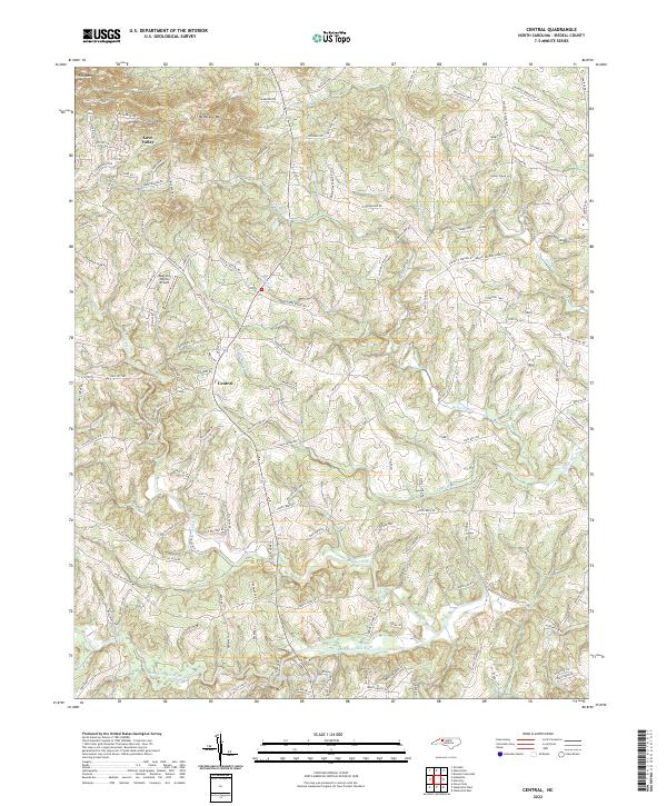
 1997 Central2000 Print · USGSThe northern hills of Iredell County are shown here in the late 1990s, where the rural character of the Piedmont remains intact. Genealogists can trace family roots through numerous country landmarks like Damascus Ch, Snow Creek Ch, and the community surrounding Love Valley.
 - 2010 Map of Central, 2010 Print
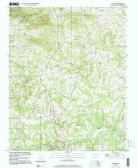
 2010 Central2010 Print · USGSCovers Love Valley, including Central, Iredell County, and other nearby areas
 - 2010 Map of Hiddenite, 2010 Print
 2010 Hiddenite2010 Print · USGSCovers Love Valley, including Fairview Park, Midway, and other nearby areas
 - 2013 Map of Hiddenite, 2013 Print
 2013 Hiddenite2013 Print · USGSCovers Love Valley, including Fairview Park, Midway, and other nearby areas
 - 2013 Map of Central, 2013 Print
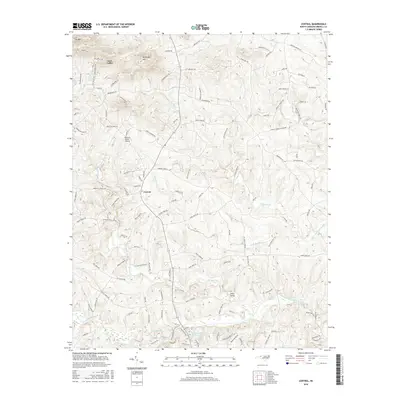
 2013 Central2013 Print · USGSCovers Love Valley, including Central, Iredell County, and other nearby areas
 - 2016 Map of Hiddenite, 2016 Print
 2016 Hiddenite2016 Print · USGSCovers Love Valley, including Fairview Park, Midway, and other nearby areas
 - 2016 Map of Central, 2016 Print
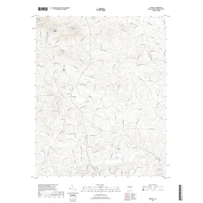
 2016 Central2016 Print · USGSCovers Love Valley, including Central, Iredell County, and other nearby areas
 - 2019 Map of Hiddenite, 2019 Print
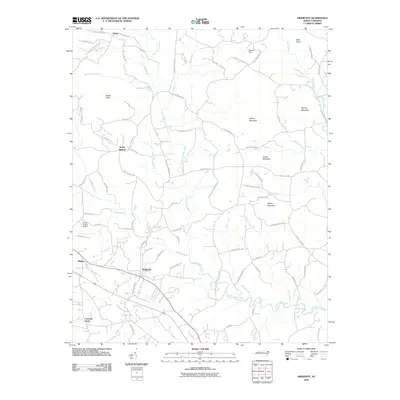
 2019 Hiddenite2019 Print · USGSCovers Love Valley, including Fairview Park, Midway, and other nearby areas
 - 2019 Map of Central, 2019 Print
 2019 Central2019 Print · USGSCovers Love Valley, including Central, Iredell County, and other nearby areas
 - 2022 Map of Central, 2022 Print
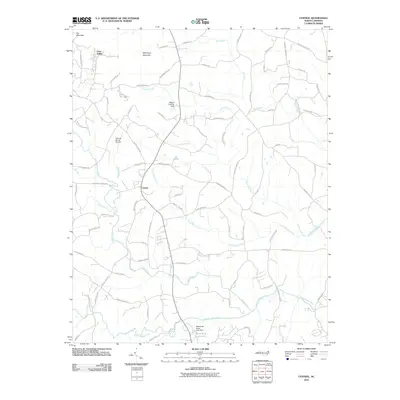
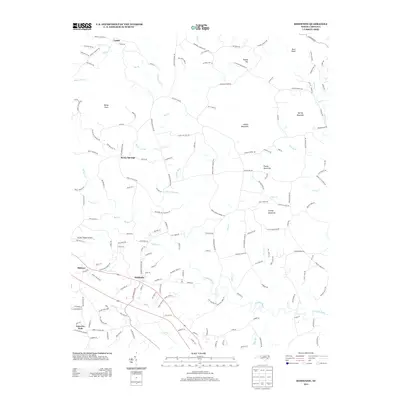
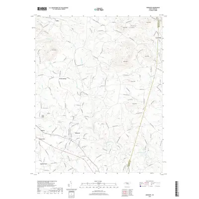
 2022 Central2022 Print · USGSIredell County in the twenty-first century maintains its deep-rooted rural character among the foothills of the Brushy Mountains. Genealogists and local historians can trace family land via routes like Goodin Farm Ln and Shoemaker Farm Rd near the South Yadkin River.
 - 2022 Map of Hiddenite, 2022 Print
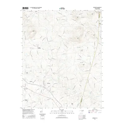
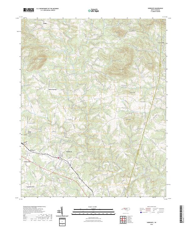 2022 Hiddenite2022 Print · USGSHiddenite and the surrounding Alexander County hills are shown in detail during the early 2020s as the area maintains its rural character. Researchers can trace family names and local landmarks through sites like Vashti Cemetery, the Gryder-Teague Airport, and the winding South Yadkin River.
End of results
Showing maps 1-21 of 21
Top cities near Love Valley
- Statesville historical maps
- North Wilkesboro historical maps
- Wilkesboro historical maps
- Taylorsville historical maps
- Harmony historical maps
Frequently asked questions
- What are the different types of historical maps available for Love Valley?
- What is the oldest map of Love Valley?
- Where can I purchase historical maps of Love Valley for my home or office?
- Where can I download high-res historical maps of Love Valley?
- Are there historical topographic maps available for Love Valley?
- Is there historical aerial imagery available for Love Valley?
- Where are historical maps of Love Valley sourced from?