Old Maps of Moss Hill, North Carolina
Explore 11 old maps of Moss Hill, spanning from 1953 to today. These high-resolution historic maps reveal how streets, neighborhoods, landmarks, and natural features evolved over time — perfect for genealogy, metal detecting, research, and local history exploration.
What you can do with these maps:
- See how Moss Hill changed over time: Compare historical maps to modern-day views to trace roads, homesites, rail lines & more.
- View detailed metadata: Each map includes creators, publishers, year, scale, and archive source.
- Overlay maps with satellite & LiDAR: Visualize the past alongside modern tools to explore terrain & human change.
- Trusted historical sources: Maps sourced from the USGS, Library of Congress, and other archives.
- Access maps your way: View online, download high-res files, or order prints for personal or research use.
Start exploring old maps of Moss Hill to uncover forgotten places, hidden landmarks, and the deep history beneath your feet.
Moss Hill, NC maps
(11)- 1953 Map of Rocky Mount, 1964 Print
 1953 Rocky Mount1964 Print · USGSEastern North Carolina in the mid-fifties is defined by its deep river basins and the vast wetlands of the Tidewater. Genealogists can trace family roots through hubs like Kinston and New Bern or explore the wilderness of Pettigrew State Park and Lake Mattamuskeet.4 unique versions available
 - 1954 Map of Rocky Mount
 1954 Rocky Mount1954 Print · USGSEastern North Carolina is mapped in the mid-fifties, showing a landscape of sounds, swamps, and steam-era rail lines. Genealogists can trace the rural road networks and rail spurs connecting towns like Tarboro, Greenville, and the remote Columbia.
 - 1958 Map of Deep Run, 1959 Print
 1958 Deep Run1959 Print · USGSCoastal plain life in the late fifties is captured here through a dense network of Lenoir and Jones County crossroads and river landings. Trace family roots at Lawsons Mill, Quaker House Ch, and vanished school sites like Township Sch.2 unique versions available
 - 1980 Map of Deep Run, 1981 Print
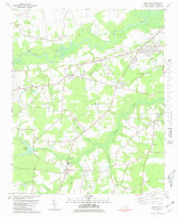 1980 Deep Run1981 Print · USGSCoastal plain farming and river life define Lenoir County in the early eighties. Genealogists and local historians can trace family-named sites like Albrittons and Bucklesberry, or locate historic gathering places like Tulls Mill and Webbs Chapel.
 - 1985 Map of Kinston
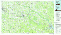 1985 Kinston1985 Print · USGSCoastal plain life and Cold War infrastructure meet in the mid-eighties as the Neuse River winds through agricultural heartlands. Researchers can locate family landmarks like Falling Creek Cem, old milling sites such as Tulls Mill, and the massive Voice of America Radio Towers.2 unique versions available
 - 1998 Map of Deep Run, 2001 Print
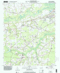 1998 Deep Run2001 Print · USGSThe rural crossroads and river bottomlands of Lenoir County come into focus in the late nineties. Genealogists and local historians can trace family landmarks like Bucklesberry, Tulls Mill, and Hickory Grove Ch along the winding Neuse River.
 - 2010 Map of Deep Run, 2010 Print
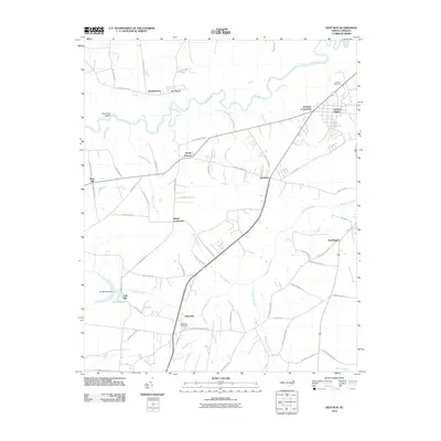 2010 Deep Run2010 Print · USGSLenoir County in the early twenty-first century reveals a landscape defined by the winding Neuse River and established rural hamlets. Local historians can trace old homestead access along John Green Smith Rd or locate the site of Tulls Mill and the Deep Run Post Office.
 - 2013 Map of Deep Run, 2013 Print
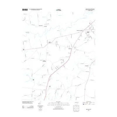 2013 Deep Run2013 Print · USGSLenoir County in the early 2010s reveals a landscape of enduring rural settlements and winding river basins. Genealogists and local historians can trace family-named landmarks and old road junctions from Bucklesberry and Pot Neck to the waters of Tull Millpond.
 - 2016 Map of Deep Run, 2016 Print
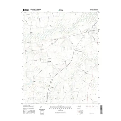 2016 Deep Run2016 Print · USGSCoastal plain communities and river bottomlands south of Kinston are captured here in the mid-2010s. Researchers can trace local heritage through landmarks like Tulls Mill, the settlement at Deep Run, and the rural junction at Blands Crossroads.
 - 2019 Map of Deep Run, 2019 Print
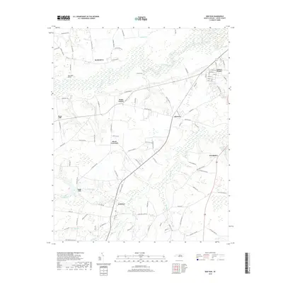 2019 Deep Run2019 Print · USGSLenoir County's rural heartland is documented here in the late twenty-teens, showing the enduring settlement patterns along the Neuse River. Researchers can trace local history through named crossroads and water features like Tulls Mill, Sandy Bottom, and the Tull Millpond.
 - 2022 Map of Deep Run, 2022 Print
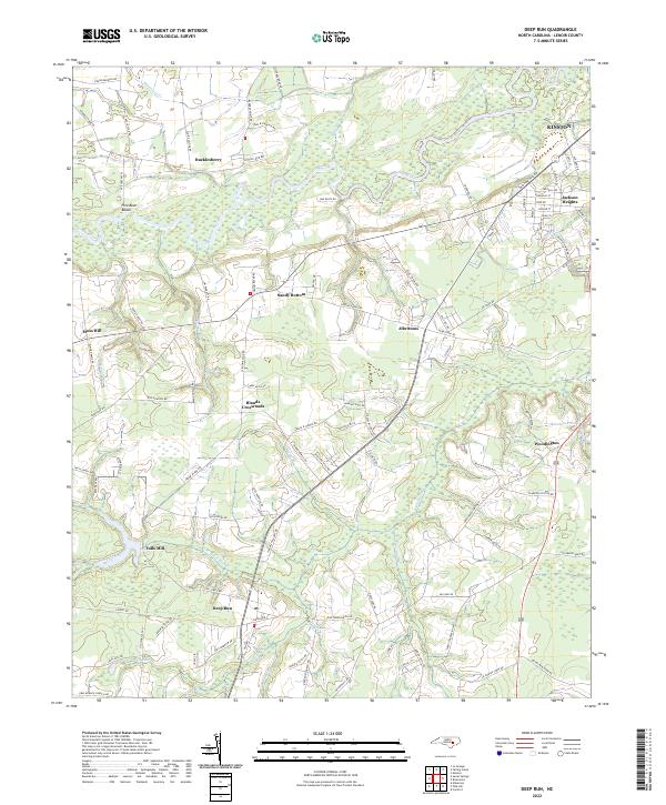 2022 Deep Run2022 Print · USGSCoastal plain settlements and riverine landscapes in Lenoir County are captured here in the modern era. Researchers can trace family-named roads and community hubs like Tulls Mill, Blands Crossroads, and the historic Deep Run settlement along the Southwest Creek drainage.
End of results
Showing maps 1-11 of 11
Top cities near Moss Hill
- Goldsboro historical maps
- Kinston historical maps
- La Grange historical maps
- Kenansville historical maps
- Walnut Creek historical maps
- Pink Hill historical maps
See more
Frequently asked questions
- What are the different types of historical maps available for Moss Hill?
- What is the oldest map of Moss Hill?
- Where can I purchase historical maps of Moss Hill for my home or office?
- Where can I download high-res historical maps of Moss Hill?
- Are there historical topographic maps available for Moss Hill?
- Is there historical aerial imagery available for Moss Hill?
- Where are historical maps of Moss Hill sourced from?