Old Maps of Biddleville, Charlotte for Academic Research
Study the evolution of Biddleville with 21 high-resolution historic maps. Whether you're teaching, researching, or modeling changes in land use, these maps provide essential visual documentation of urban, environmental, and geographic change.
- Analyze long-term change: Track patterns in development, transportation, and natural features.
- Ideal for environmental or urban studies: Support academic projects with primary historical map data.
- Use in the classroom or lab: Educators and researchers rely on these maps to bring historical context to life.
These maps are a powerful tool for teaching, research, and visualizing how Biddleville has changed over the decades.
Biddleville, Charlotte maps
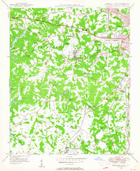
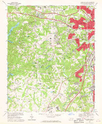
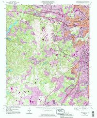
(21)- 1905 Map of Charlotte
 1905 Charlotte1905 Print · USGSCovers Biddleville, including Charlotte, Matthews, and other nearby areas3 unique versions available
 - 1907 Map of Charlotte
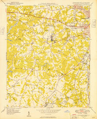
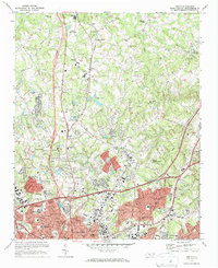
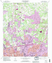
 1907 Charlotte1907 Print · USGSCovers Biddleville, including Charlotte, Matthews, and other nearby areas5 unique versions available
 - 1941 Map of Charlotte
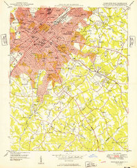
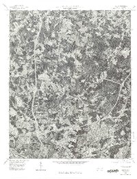
 1941 Charlotte1941 Print · USGSCovers Biddleville, including Charlotte, Concord, and other nearby areas
 - 1942 Map of Charlotte
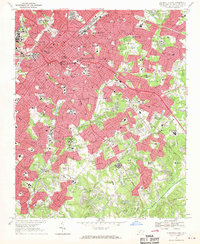
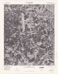
 1942 Charlotte1942 Print · USGSCovers Biddleville, including Charlotte, Concord, and other nearby areas2 unique versions available
 - 1948 Map of Derita, 1952 Print
 1948 Derita1952 Print · USGSCovers Biddleville, including Charlotte, Huntersville, and other nearby areas3 unique versions available
 - 1948 Map of Charlotte East, 1965 Print
 1948 Charlotte East1965 Print · USGSCovers Biddleville, including Charlotte, Beverly Woods East, and other nearby areas
 - 1948 Map of Charlotte West, 1965 Print
 1948 Charlotte West1965 Print · USGSCovers Biddleville, including Charlotte, Ramblewood, and other nearby areas
 - 1949 Map of Charlotte West
 1949 Charlotte West1949 Print · USGSCovers Biddleville, including Charlotte, Ramblewood, and other nearby areas
 - 1949 Map of Charlotte East
 1949 Charlotte East1949 Print · USGSCovers Biddleville, including Charlotte, Beverly Woods East, and other nearby areas
 - 1953 Map of Charlotte, 1968 Print
 1953 Charlotte1968 Print · USGSCovers Biddleville, including Charlotte, Winston-Salem, and other nearby areas3 unique versions available
 - 1954 Map of Charlotte
 1954 Charlotte1954 Print · USGSCovers Biddleville, including Charlotte, Winston-Salem, and other nearby areas2 unique versions available
 - 1960 Map of Charlotte
 1960 Charlotte1960 Print · USGSCovers Biddleville, including Charlotte, Winston-Salem, and other nearby areas2 unique versions available
 - 1962 Map of Charlotte
 1962 Charlotte1962 Print · USGSCovers Biddleville, including Charlotte, Winston-Salem, and other nearby areas
 - 1967 Map of Charlotte East, 1969 Print
 1967 Charlotte East1969 Print · USGSCovers Biddleville, including Charlotte, Beverly Woods East, and other nearby areas3 unique versions available
 - 1968 Map of Charlotte West, 1970 Print
 1968 Charlotte West1970 Print · USGSCovers Biddleville, including Charlotte, Ramblewood, and other nearby areas3 unique versions available
 - 1972 Map of Derita, 1973 Print
 1972 Derita1973 Print · USGSCovers Biddleville, including Charlotte, Huntersville, and other nearby areas2 unique versions available
 - 1976 Map of Derita, 1978 Print
 1976 Derita1978 Print · USGSCovers Biddleville, including Charlotte, Huntersville, and other nearby areas
 - 1976 Map of Charlotte West, 1978 Print
 1976 Charlotte West1978 Print · USGSCovers Biddleville, including Charlotte, Ramblewood, and other nearby areas
 - 1985 Map of Charlotte, 1986 Print
 1985 Charlotte1986 Print · USGSCovers Biddleville, including Charlotte, Concord, and other nearby areas2 unique versions available
 - 1993 Map of Charlotte West, 1996 Print
 1993 Charlotte West1996 Print · USGSCovers Biddleville, including Charlotte, Ramblewood, and other nearby areas
 - 1993 Map of Derita, 1996 Print
 1993 Derita1996 Print · USGSCovers Biddleville, including Charlotte, Huntersville, and other nearby areas
End of results
Showing maps 1-21 of 21
Frequently asked questions
- What are the different types of historical maps available for Biddleville?
- What is the oldest map of Biddleville?
- Where can I purchase historical maps of Biddleville for my home or office?
- Where can I download high-res historical maps of Biddleville?
- Are there historical topographic maps available for Biddleville?
- Is there historical aerial imagery available for Biddleville?
- Where are historical maps of Biddleville sourced from?