Old Maps of Mount Gilead, North Carolina for Genealogy
Trace your family roots with 24 historic maps of Mount Gilead. These high-res maps reveal old neighborhoods, homesites, landmarks, and streets — helping you uncover where your ancestors lived and how the area evolved over time.
- Explore historic neighborhoods: Identify where your relatives may have lived in the 1800s or 1900s.
- Compare maps over time: Trace the changes in streets, buildings, and landmarks for multi-generational research.
- Perfect for genealogy & ancestry research: Used by family historians and researchers to map out lineage and migration.
These maps are an incredible resource for exploring your personal connection to Mount Gilead's past.
Mount Gilead, NC maps
(24)- 1942 Map of Troy
 1942 Troy1942 Print · USGSMid-century central North Carolina comes alive through this 1940s survey of the rail-linked towns between the Uwharrie hills and the Sandhills. Trace the historic Norfolk Southern line through Troy, Star, and Biscoe, or locate the Morrison Training School and local springs.
 - 1953 Map of Raleigh, 1965 Print
 1953 Raleigh1965 Print · USGSCentral North Carolina in the early sixties shows a landscape of growing towns and military hubs before the full expansion of the interstate system. Genealogists can trace family footprints across the Piedmont through Wake Forest, Siler City, and the large Fort Bragg Military Reservation.4 unique versions available
 - 1953 Map of Charlotte, 1968 Print
 1953 Charlotte1968 Print · USGSThe North Carolina Piedmont and South Carolina borderlands are shown in detail during a period of significant growth and reservoir development. Trace the rail corridors of the Southern Railway or find family roots in towns like China Grove, Misenheimer, and Lincolnton.3 unique versions available
 - 1954 Map of Charlotte
 1954 Charlotte1954 Print · USGSThe North Carolina Piedmont in the mid-1950s shows a region of rapid growth and industrial expansion centered around Charlotte. Trace the era's infrastructure through the Southern railroad lines and locate significant landmarks like the Charlotte Naval Ammunition Depot and Lake Norman.2 unique versions available
 - 1954 Map of Raleigh
 1954 Raleigh1954 Print · USGSThe North Carolina Piedmont and Sandhills are captured in the mid-fifties during a period of steady regional growth. Genealogists and historians can trace the development of towns like Siler City or locate landmarks such as Falls of Neuse and Camp Mackall.
 - 1956 Map of Mount Gilead East, 1957 Print
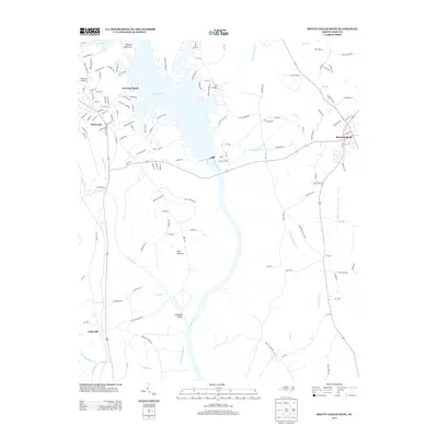
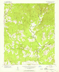 1956 Mount Gilead East1957 Print · USGSThe Montgomery and Richmond County line comes to life in the mid-1950s, showing a landscape of small farms and historic churches. Researchers can locate the State Town Creek Indian Mound Res, trace the Norfolk Southern rail line, and find old family sites like Littles Mill and Sharon Cem.3 unique versions available
 - 1956 Map of Mount Gilead West, 1957 Print
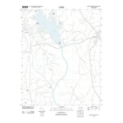
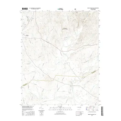
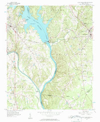 1956 Mount Gilead West1957 Print · USGSThe area surrounding the Pee Dee and Rocky rivers shows a landscape of rail-connected towns and riverside power in the mid-1950s. Genealogists can trace family roots through numerous local parishes like Providence Ch and the rural community of Cedar Hill.3 unique versions available
 - 1960 Map of Charlotte
 1960 Charlotte1960 Print · USGSMid-century North Carolina and South Carolina meet in this 1960 survey of the Piedmont's industrial and textile heartland. Trace the growth of Charlotte alongside historic landmarks like Kings Mountain National Military Park and the Charlotte Naval Ammunition Depot.2 unique versions available
 - 1962 Map of Charlotte
 1962 Charlotte1962 Print · USGSThe North Carolina Piedmont in the early sixties showcases a landscape transformed by massive reservoirs and industrial growth. Researchers can trace the development of Lake Norman, locate the Charlotte Naval Ammunition Depot, or find family landmarks like Wesley Chapel and Brown & Norcott Mills.
 - 1976 Map of Mount Gilead East, 1978 Print
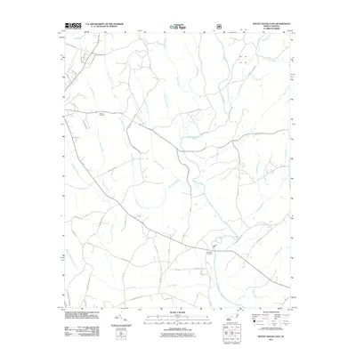
 1976 Mount Gilead East1978 Print · USGSThe area east of Mount Gilead is captured in the mid-seventies, showing the agricultural heart of Montgomery County. You can trace the winding LITTLE RIVER and see how early road networks like 109 and 731 intersected the local landscape.
 - 1982 Map of Southern Pines, 1983 Print
 1982 Southern Pines1983 Print · USGSCentral North Carolina in the early eighties shows a landscape defined by military expansion and historic rail corridors. Researchers can trace the legacy of the Seaboard Coast Line through Pinehurst or locate landmarks like the Town Creek Indian Mound State Historic Site.
 - 1985 Map of Charlotte, 1986 Print
 1985 Charlotte1986 Print · USGSThe Piedmont region in the mid-eighties shows the rapid growth of the Charlotte metro area alongside established textile and college towns. Trace local heritage at the Reed Gold Mine or explore the rail corridors of the Southern Railway and Winston-Salem Southbound Railway.2 unique versions available
 - 1994 Map of Mount Gilead East, 1996 Print
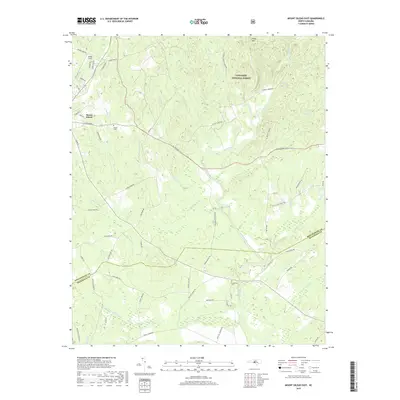
 1994 Mount Gilead East1996 Print · USGSThe rural border of Montgomery and Richmond counties is captured here in the mid-1990s as it transitions from the national forest to the river bottomlands. Genealogists and local historians can trace family locations near Littles Mill, Pee Dee Ch, and Sharon Cem.
 - 2002 Map of Mount Gilead West, 2003 Print
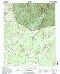
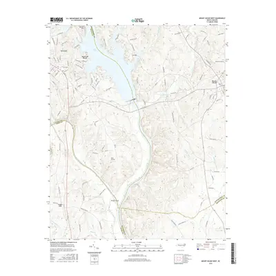
 2002 Mount Gilead West2003 Print · USGSThe Pee Dee River corridor at the turn of the millennium shows a landscape defined by its hydroelectric infrastructure and rural crossroads. Local researchers can trace family landmarks and community centers such as Bethel Ch, Melton Grove, and St Lukes Ch across four adjoining counties.
 - 2010 Map of Mount Gilead West, 2010 Print
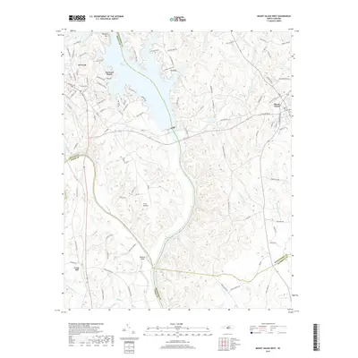
 2010 Mount Gilead West2010 Print · USGSCovers Mount Gilead, including Norwood, Norwood Beach, and other nearby areas
 - 2011 Map of Mount Gilead East, 2011 Print
 2011 Mount Gilead East2011 Print · USGSCovers Mount Gilead, including Richmond County, Montgomery County, and other nearby areas
 - 2013 Map of Mount Gilead East, 2013 Print
 2013 Mount Gilead East2013 Print · USGSCovers Mount Gilead, including Richmond County, Montgomery County, and other nearby areas
 - 2013 Map of Mount Gilead West, 2013 Print
 2013 Mount Gilead West2013 Print · USGSCovers Mount Gilead, including Norwood, Norwood Beach, and other nearby areas
 - 2016 Map of Mount Gilead East, 2016 Print
 2016 Mount Gilead East2016 Print · USGSCovers Mount Gilead, including Richmond County, Montgomery County, and other nearby areas
 - 2016 Map of Mount Gilead West, 2016 Print
 2016 Mount Gilead West2016 Print · USGSCovers Mount Gilead, including Norwood, Norwood Beach, and other nearby areas
 - 2019 Map of Mount Gilead East, 2019 Print
 2019 Mount Gilead East2019 Print · USGSCovers Mount Gilead, including Richmond County, Montgomery County, and other nearby areas
 - 2019 Map of Mount Gilead West, 2019 Print
 2019 Mount Gilead West2019 Print · USGSCovers Mount Gilead, including Norwood, Norwood Beach, and other nearby areas
 - 2022 Map of Mount Gilead East, 2022 Print
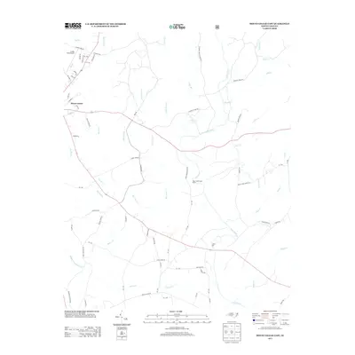
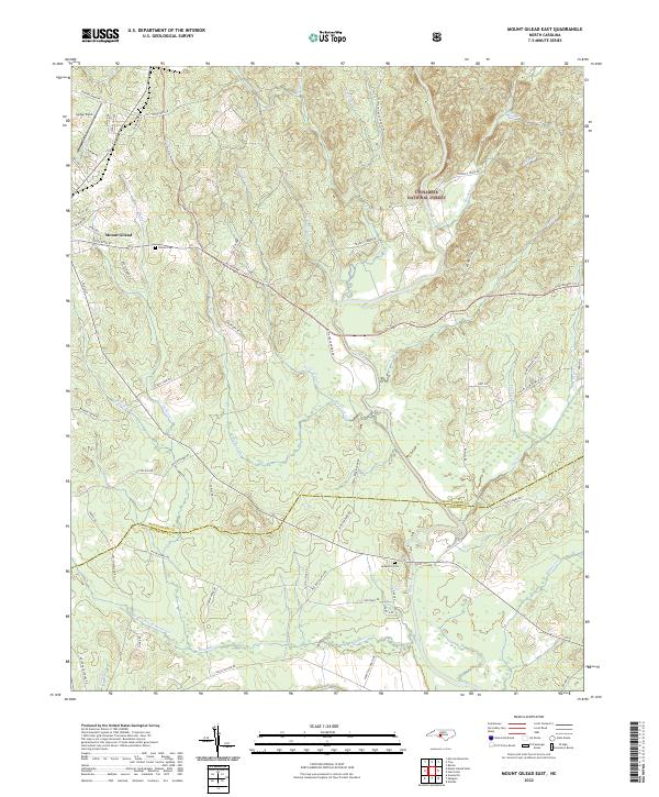 2022 Mount Gilead East2022 Print · USGSThe eastern outskirts of Mount Gilead and the Uwharrie hills come into focus in this recent survey. Local researchers can trace family landmarks and rural routes such as Sharon Cem, Jordan Field, and the various branches of the Little River.
 - 2022 Map of Mount Gilead West, 2022 Print
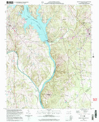
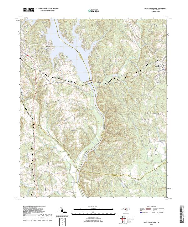 2022 Mount Gilead West2022 Print · USGSThe river borders of the North Carolina Piedmont come to life in this survey of the Stanly and Montgomery county lines. Genealogists and local historians can trace the rail corridor of the Winston-Salem Southbound RR or locate family sites near Fork Section and Norwood Cem.
End of results
Showing maps 1-24 of 24
Top cities near Mount Gilead
- Albemarle historical maps
- Troy historical maps
- Polkton historical maps
- Norwood historical maps
- Biscoe historical maps
- Badin historical maps
See more
Frequently asked questions
- What are the different types of historical maps available for Mount Gilead?
- What is the oldest map of Mount Gilead?
- Where can I purchase historical maps of Mount Gilead for my home or office?
- Where can I download high-res historical maps of Mount Gilead?
- Are there historical topographic maps available for Mount Gilead?
- Is there historical aerial imagery available for Mount Gilead?
- Where are historical maps of Mount Gilead sourced from?