Old Maps of Red Oak, North Carolina
Explore 25 old maps of Red Oak, spanning from 1902 to today. These high-resolution historic maps reveal how streets, neighborhoods, landmarks, and natural features evolved over time — perfect for genealogy, metal detecting, research, and local history exploration.
What you can do with these maps:
- See how Red Oak changed over time: Compare historical maps to modern-day views to trace roads, homesites, rail lines & more.
- View detailed metadata: Each map includes creators, publishers, year, scale, and archive source.
- Overlay maps with satellite & LiDAR: Visualize the past alongside modern tools to explore terrain & human change.
- Trusted historical sources: Maps sourced from the USGS, Library of Congress, and other archives.
- Access maps your way: View online, download high-res files, or order prints for personal or research use.
Start exploring old maps of Red Oak to uncover forgotten places, hidden landmarks, and the deep history beneath your feet.
Red Oak, NC maps
(25)- 1902 Map of Rocky Mount, 1965 Print
 1902 Rocky Mount1965 Print · USGSThe coastal plain of North Carolina comes alive in this early survey of the rail and river corridors between Nashville and Rocky Mount. Genealogists can trace early landmarks like Snells Crossroads, the Rocky Mount Mills, and Elm City.
 - 1904 Map of Rocky Mount, 1942 Print
 1904 Rocky Mount1942 Print · USGSThe Tar River and the rail hubs of eastern North Carolina come alive in this early twentieth-century survey. Genealogists and local historians can trace the growth of Rocky Mount and Nashville, or locate vanished industrial landmarks like the Upper Falls Rocky Mount Mills and Finch Mill.
 - 1953 Map of Norfolk, 1954 Print
 1953 Norfolk1954 Print · USGSCoastal Virginia and northeastern North Carolina appear here during the post-war industrial boom, showing the critical rail-and-sea connections of Hampton Roads. Genealogists can trace family roots through rural landmarks like Gethsemane Ch, the Caledonia State Prison Farm, and the vast interior of the Dismal Swamp.4 unique versions available
 - 1953 Map of Rocky Mount, 1964 Print
 1953 Rocky Mount1964 Print · USGSEastern North Carolina in the mid-fifties is defined by its deep river basins and the vast wetlands of the Tidewater. Genealogists can trace family roots through hubs like Kinston and New Bern or explore the wilderness of Pettigrew State Park and Lake Mattamuskeet.4 unique versions available
 - 1954 Map of Rocky Mount
 1954 Rocky Mount1954 Print · USGSEastern North Carolina is mapped in the mid-fifties, showing a landscape of sounds, swamps, and steam-era rail lines. Genealogists can trace the rural road networks and rail spurs connecting towns like Tarboro, Greenville, and the remote Columbia.
 - 1963 Map of Red Oak, 1964 Print
 1963 Red Oak1964 Print · USGSNash County rural life is captured here in the early sixties, showing a landscape of family farms and creek-side communities. Researchers can locate dozens of family burial grounds like Taylor Cem and old church sites including Mt Zion Chapel and Philadelphia Ch.
 - 1963 Map of Drake, 1964 Print
 1963 Drake1964 Print · USGSCoastal Plain farmland and swampy creek bottoms define this Nash County area in the early sixties. Genealogists can trace family names at Dozier Cem and Harper Cem or locate community hubs like Dortches, Drake, and North Carolina Wesleyan College.2 unique versions available
 - 1977 Map of Nashville
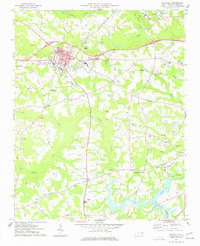 1977 Nashville1977 Print · USGSNash County in the late seventies is centered on the growing town of Nashville, where rail lines and regional schools meet the surrounding farmland. Researchers can trace rural lineages through numerous country churches and cemeteries, such as Taylors Chapel, Sapony Ch, and Oakland Cem.
 - 1985 Map of Rocky Mount
 1985 Rocky Mount1985 Print · USGSThe eastern North Carolina coastal plain in the mid-eighties shows a landscape defined by its river-and-rail heritage. Genealogists and local historians can trace the development of Rocky Mount, Greenville, and Wilson, or locate landmarks like East Carolina University and the Voice of America site.2 unique versions available
 - 1985 Map of Roanoke Rapids
 1985 Roanoke Rapids1985 Print · USGSNorthern North Carolina's river-driven economy is on display here in the mid-1980s, from the hydro-power at Roanoke Rapids to the rural millponds. Genealogists can trace family lands near Wiccacanee Pond, Mush Island, or the remote Urahaw Swamp.2 unique versions available
 - 2010 Map of Drake, 2010 Print
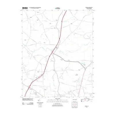 2010 Drake2010 Print · USGSThe crossroads of Nash County come to life in this contemporary survey, showing the rural communities of Gold Rock and Dortches. Genealogists and local historians can trace family lineages through numerous small plots like the Manns Cemetery and Williams Cemetery near Swift Creek.
 - 2010 Map of Red Oak, 2010 Print
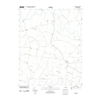 2010 Red Oak2010 Print · USGSCoastal plain farmland in Nash County is captured here in the early twenty-first century, showing a landscape still anchored by crossroads and family history. Genealogists can trace lineage through dozens of local sites like Saint Johns Cemetery, Vick Cemetery, and the community of Taylors Store.
 - 2010 Map of Nashville, 2010 Print
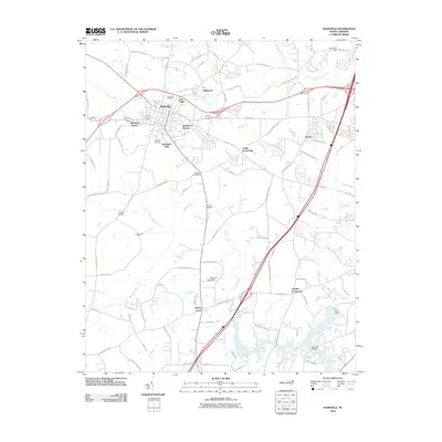 2010 Nashville2010 Print · USGSIn the early twenty-first century, Nashville expanded through new residential developments while maintaining its historical rural junctions. Researchers can trace local lineage at Forest Hill Cemetery or locate old crossings at Evans Bridge and Wards Bridge.
 - 2013 Map of Drake, 2013 Print
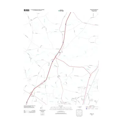 2013 Drake2013 Print · USGSInland North Carolina at the turn of the decade shows the intersection of rural roots and modern growth. Genealogists and local historians can trace the areas around Gold Rock, Salem, and Dortches, or locate family lands near Beaverdam Swamp and Swift Cr.
 - 2013 Map of Red Oak, 2013 Print
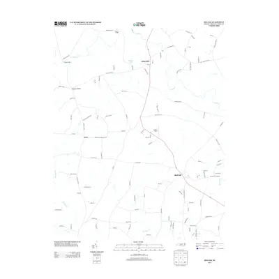 2013 Red Oak2013 Print · USGSNash County in the early twenty-first century remains a landscape of historic crossroads and family-named routes. Researchers can trace local lineage through landmarks like Taylors Store, Hilliardston, and the creek crossings at Drakes Bridge.
 - 2013 Map of Nashville, 2013 Print
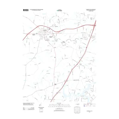 2013 Nashville2013 Print · USGSThe town of Nashville and its rural surroundings are captured here in the early twenty-first century as suburban growth meets long-standing crossroads. Trace the locations of Wells Mineral Spring and local hubs like Sandy Cross or Snells Crossroads to see how the landscape has evolved.
 - 2016 Map of Drake, 2016 Print
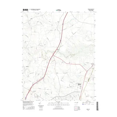 2016 Drake2016 Print · USGSCoastal plain agriculture and emerging academic centers define this region near the Nash and Edgecombe county line during the mid-2010s. Researchers can locate numerous family burial grounds like Greene Cem and Powell Cem or trace the environs of N Carolina Wesleyan Coll.
 - 2016 Map of Red Oak, 2016 Print
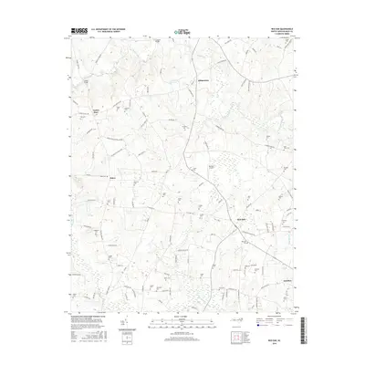 2016 Red Oak2016 Print · USGSNash County’s rural landscape is captured here in the mid-2010s, showing a region defined by its agricultural roots and family homesteads. Researchers can locate dozens of burial sites like Hedgepeth Cem and Vick Cem while tracing the waters of Swift Creek.
 - 2016 Map of Nashville, 2016 Print
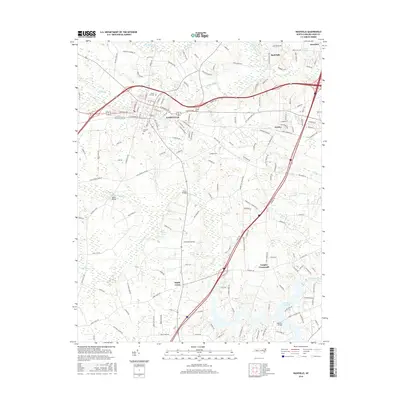 2016 Nashville2016 Print · USGSNash County at the mid-point of the 2010s reveals a landscape where the established seat of Nashville meets the expansive Tar River Reservoir. Researchers can trace old family locales and rural landmarks from Wells Mineral Spring to Forest Hill Cem and Sandy Cross.
 - 2019 Map of Nashville, 2019 Print
 2019 Nashville2019 Print · USGSNash County in the late 2010s shows a landscape of established towns and rural crossroads defined by the Tar River Reservoir. Researchers can trace local heritage through Oakland Cem and historical landmarks like Wells Mineral Spring or Wards Bridge.
 - 2019 Map of Drake, 2019 Print
 2019 Drake2019 Print · USGSNash County at the turn of the decade shows the intersection of rural agriculture and expanding urban centers. Genealogists and local historians can trace family locations through numerous sites like Rocky Mount Memorial Cem, Dortches, and Robinson Cem.
 - 2019 Map of Red Oak, 2019 Print
 2019 Red Oak2019 Print · USGSNash County at the edge of the coastal plain reveals a landscape of deep-rooted family farms and crossroads communities. Genealogists can trace hundreds of years of local history through family-named sites like Arrington Cem, Hales Cem, and the community at Taylors Store.
 - 2022 Map of Red Oak, 2022 Print
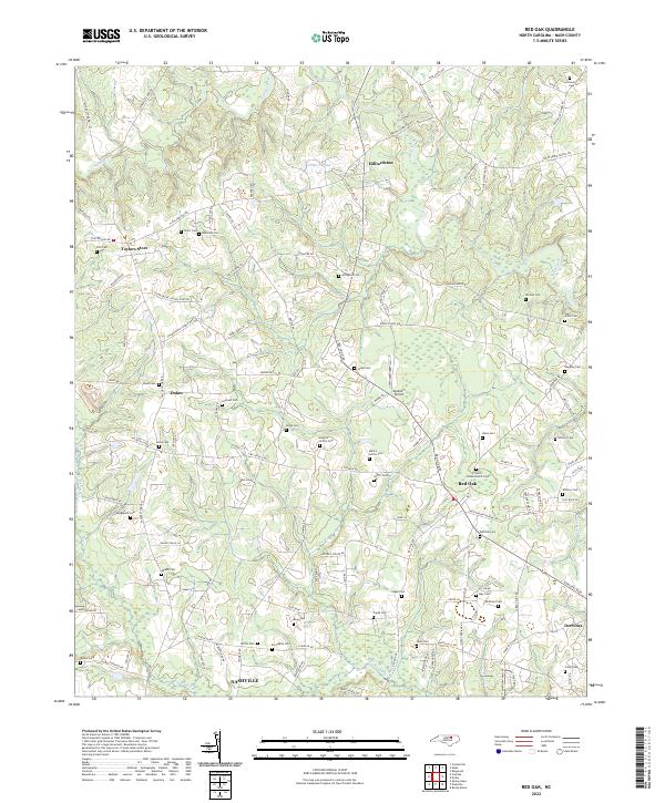 2022 Red Oak2022 Print · USGSNash County at the turn of the 2020s remains a landscape of historic crossroads and family homesteads. Researchers can trace ancestral locations through dozens of family-named sites like Boseman Cem, Arrington Cem, and the community of Taylors Store.
 - 2022 Map of Drake, 2022 Print
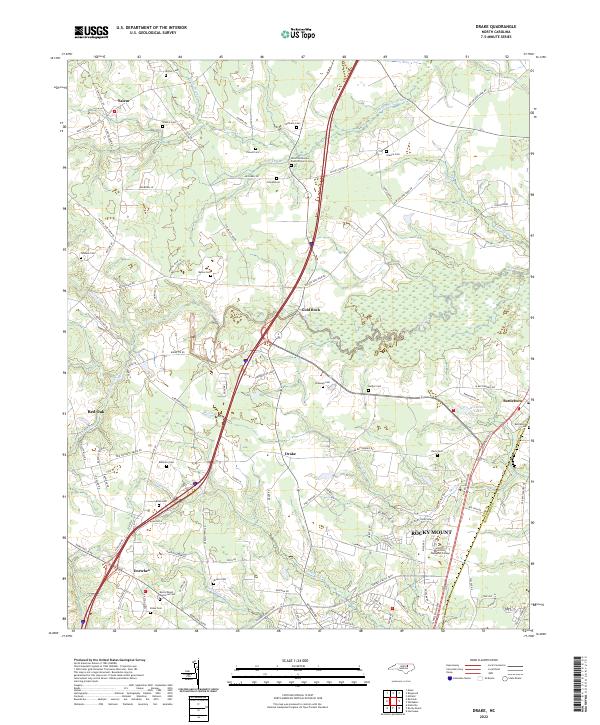 2022 Drake2022 Print · USGSNash County at the start of the 2020s shows a landscape of deep-rooted rural crossroads and modern expansion. Researchers can trace family history through numerous remote burial sites like Shiloh Missionary Baptist Church Cem or explore the watercourses of Swift Creek and Beaverdam Swamp.
 - 2022 Map of Nashville, 2022 Print
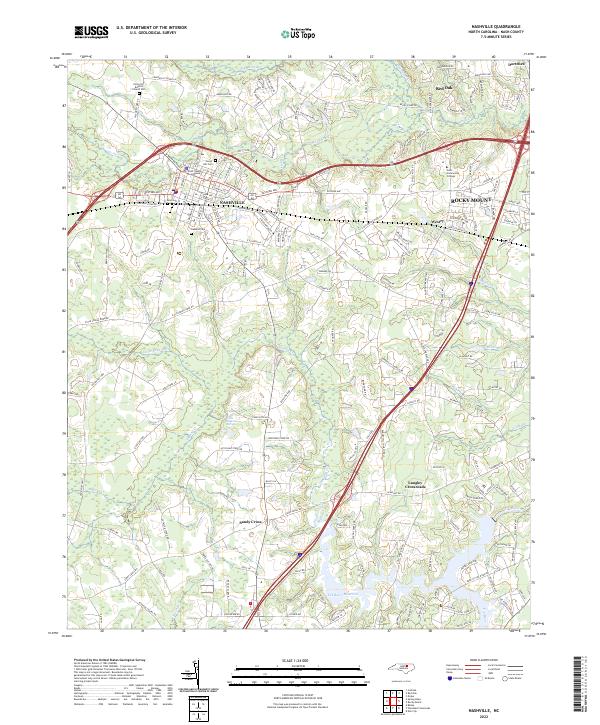 2022 Nashville2022 Print · USGSNashville and the surrounding Nash County countryside are documented in this recent survey during a period of steady growth. Researchers can locate family landmarks like Forest Hill Cem and the Nash County Courthouse or trace the waters of the Tar River Reservoir.
End of results
Showing maps 1-25 of 25
Top cities near Red Oak
- Rocky Mount historical maps
- Wilson historical maps
- Nashville historical maps
- Sharpsburg historical maps
- Elm City historical maps
- Spring Hope historical maps
See more
Frequently asked questions
- What are the different types of historical maps available for Red Oak?
- What is the oldest map of Red Oak?
- Where can I purchase historical maps of Red Oak for my home or office?
- Where can I download high-res historical maps of Red Oak?
- Are there historical topographic maps available for Red Oak?
- Is there historical aerial imagery available for Red Oak?
- Where are historical maps of Red Oak sourced from?