2000s (21st Century) Maps of Peru, North Carolina
Explore 5 historic maps of Peru from the 2000s (21st Century). These maps offer a rare glimpse into what life looked like during the 2000s — showing old roads, neighborhoods, homes, and landmarks that have changed or disappeared over time.
Whether you're researching your family's past, planning a metal detecting trip, or studying how Peru's landscape evolved across the 2000s, these high-resolution maps are a powerful tool for exploring the history of this region.
- Focus on a specific era: All maps on this page are from the 2000s, giving you a focused view of this time period.
- See what’s changed: Compare century-old streets, trails, and buildings to today's modern landscape using overlays and satellite layers.
- Research with precision: Use these maps for genealogy, historical research, land use analysis, or educational projects.
- View, download, or print: Maps are fully viewable online in high resolution, and can be downloaded or printed for your own records.
Start exploring Peru's history through authentic maps from the 2000s. This is your window into the past.
Peru, NC maps
(5)- 2010 Map of New River Inlet, 2010 Print
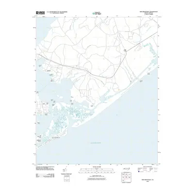 2010 New River Inlet2010 Print · USGSCovers Peru, including North Topsail Beach, Marine Corps Base Camp Lejeune, and other nearby areas
 - 2013 Map of New River Inlet, 2013 Print
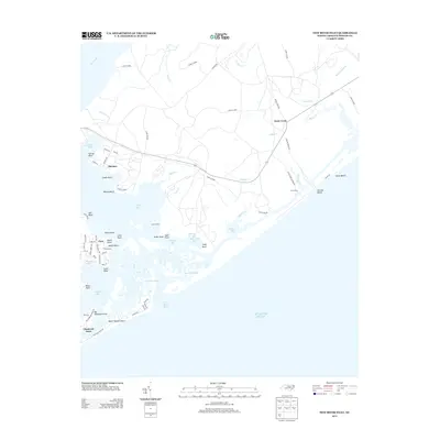 2013 New River Inlet2013 Print · USGSCovers Peru, including North Topsail Beach, Marine Corps Base Camp Lejeune, and other nearby areas
 - 2016 Map of New River Inlet, 2016 Print
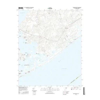 2016 New River Inlet2016 Print · USGSCovers Peru, including North Topsail Beach, Marine Corps Base Camp Lejeune, and other nearby areas
 - 2019 Map of New River Inlet, 2019 Print
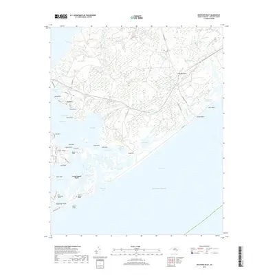 2019 New River Inlet2019 Print · USGSCovers Peru, including North Topsail Beach, Marine Corps Base Camp Lejeune, and other nearby areas
 - 2022 Map of New River Inlet, 2022 Print
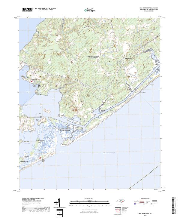 2022 New River Inlet2022 Print · USGSThe Onslow County coast in recent years shows the intricate meeting of river and sea along the Intracoastal Waterway. Genealogists and historians can trace coastal settlements from Marines and Peru to the barrier island reach of North Topsail Beach.
End of results
Showing maps 1-5 of 5
Top cities near Peru
- Jacksonville historical maps
- Piney Green historical maps
- Swansboro historical maps
- Sneads Ferry historical maps
- Surf City historical maps
- Holly Ridge historical maps
See more
Frequently asked questions
- What are the different types of historical maps available for Peru?
- What is the oldest map of Peru?
- Where can I purchase historical maps of Peru for my home or office?
- Where can I download high-res historical maps of Peru?
- Are there historical topographic maps available for Peru?
- Is there historical aerial imagery available for Peru?
- Where are historical maps of Peru sourced from?