Old Maps of Chapell Gardens, Elizabeth City
Explore 10 old maps of Chapell Gardens, spanning from 1940 to today. These high-resolution historic maps reveal how streets, neighborhoods, landmarks, and natural features evolved over time — perfect for genealogy, metal detecting, research, and local history exploration.
What you can do with these maps:
- See how Chapell Gardens changed over time: Compare historical maps to modern-day views to trace roads, homesites, rail lines & more.
- View detailed metadata: Each map includes creators, publishers, year, scale, and archive source.
- Overlay maps with satellite & LiDAR: Visualize the past alongside modern tools to explore terrain & human change.
- Trusted historical sources: Maps sourced from the USGS, Library of Congress, and other archives.
- Access maps your way: View online, download high-res files, or order prints for personal or research use.
Start exploring old maps of Chapell Gardens to uncover forgotten places, hidden landmarks, and the deep history beneath your feet.
Chapell Gardens, Elizabeth City maps
(10)- 1940 Map of South Mills, 1976 Print
 1940 South Mills1976 Print · USGSCamden and Pasquotank counties are shown in the early 1940s as communities navigated the edges of the Dismal Swamp. Genealogists can locate family-named hubs like Pierceville and Johnsons Corner or trace the Norfolk Southern Railroad line.
 - 1952 Map of South Mills
 1952 South Mills1952 Print · USGSCoastal North Carolina at mid-century reveals a complex network of timber mills and canal-side hamlets bordering the great wetlands. Trace ancestral roots and early industry through family landmarks like Lynchs Corner, the Dismal Swamp Canal, and Burnt Mills.
 - 1953 Map of Norfolk, 1954 Print
 1953 Norfolk1954 Print · USGSCoastal Virginia and northeastern North Carolina appear here during the post-war industrial boom, showing the critical rail-and-sea connections of Hampton Roads. Genealogists can trace family roots through rural landmarks like Gethsemane Ch, the Caledonia State Prison Farm, and the vast interior of the Dismal Swamp.4 unique versions available
 - 1982 Map of Pasquotank
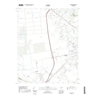
 1982 Pasquotank1982 Print · USGSIn the early 1980s, the edge of the Great Dismal Swamp met the expanding infrastructure of Elizabeth City and the Pasquotank River. Researchers can trace the layout of community landmarks like Albemarle Academy, Samuel Chapel, and the industrial corridors of the NORFOLK SOUTHERN railroad.
 - 1985 Map of Elizabeth City
 1985 Elizabeth City1985 Print · USGSCoastal North Carolina's rivers and sounds define the landscape of the mid-eighties, from the vast swamps to the historical waterfronts of Elizabeth City and Edenton. Researchers can trace the rail lines of the Southern Ry or locate landmarks like Beaver Hill Cem and South Mills.2 unique versions available
 - 2010 Map of Pasquotank, 2010 Print
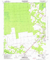
 2010 Pasquotank2010 Print · USGSCovers Chapell Gardens, including Elizabeth City, Okisko, and other nearby areas
 - 2013 Map of Pasquotank, 2013 Print
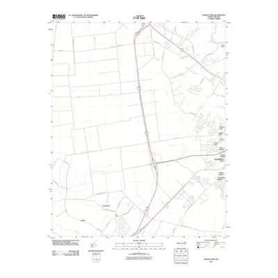
 2013 Pasquotank2013 Print · USGSCovers Chapell Gardens, including Elizabeth City, Okisko, and other nearby areas
 - 2016 Map of Pasquotank, 2016 Print
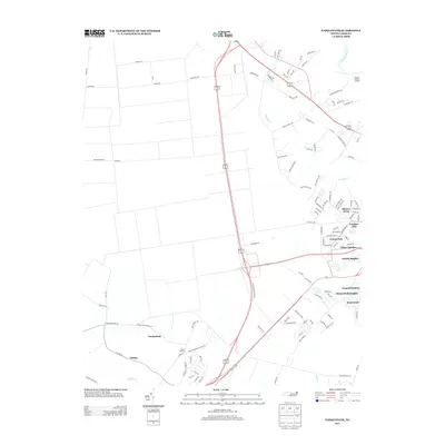
 2016 Pasquotank2016 Print · USGSCovers Chapell Gardens, including Elizabeth City, Okisko, and other nearby areas
 - 2019 Map of Pasquotank, 2019 Print
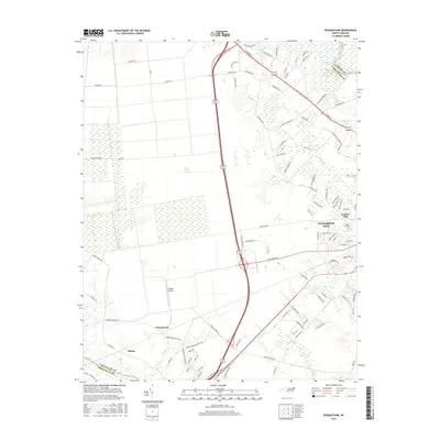
 2019 Pasquotank2019 Print · USGSCovers Chapell Gardens, including Elizabeth City, Okisko, and other nearby areas
 - 2022 Map of Pasquotank, 2022 Print
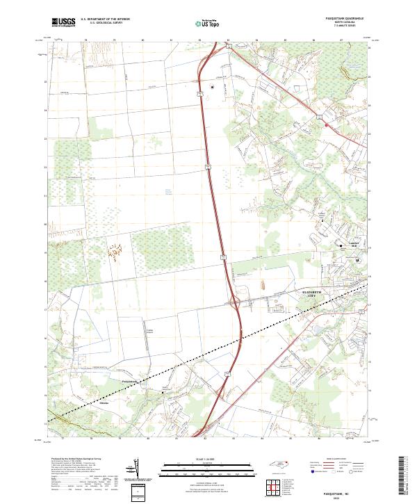 2022 Pasquotank2022 Print · USGSCoastal North Carolina comes to life in the early 2020s as the suburbs of Elizabeth City meet the wild Great Dismal Swamp. Genealogists can locate several family burial grounds, including the Pritchard Family Cem, and trace the industrial legacy of the Lumber Mill.
End of results
Showing maps 1-10 of 10
Frequently asked questions
- What are the different types of historical maps available for Chapell Gardens?
- What is the oldest map of Chapell Gardens?
- Where can I purchase historical maps of Chapell Gardens for my home or office?
- Where can I download high-res historical maps of Chapell Gardens?
- Are there historical topographic maps available for Chapell Gardens?
- Is there historical aerial imagery available for Chapell Gardens?
- Where are historical maps of Chapell Gardens sourced from?