Old Maps of Potluck Community Farm, Person County
Explore 20 old maps of Potluck Community Farm, spanning from 1943 to today. These high-resolution historic maps reveal how streets, neighborhoods, landmarks, and natural features evolved over time — perfect for genealogy, metal detecting, research, and local history exploration.
What you can do with these maps:
- See how Potluck Community Farm changed over time: Compare historical maps to modern-day views to trace roads, homesites, rail lines & more.
- View detailed metadata: Each map includes creators, publishers, year, scale, and archive source.
- Overlay maps with satellite & LiDAR: Visualize the past alongside modern tools to explore terrain & human change.
- Trusted historical sources: Maps sourced from the USGS, Library of Congress, and other archives.
- Access maps your way: View online, download high-res files, or order prints for personal or research use.
Start exploring old maps of Potluck Community Farm to uncover forgotten places, hidden landmarks, and the deep history beneath your feet.
Potluck Community Farm, Person County maps
(20)- 1943 Map of Roxboro, 1956 Print
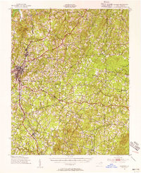 1943 Roxboro1956 Print · USGSPerson and Granville counties are captured here during the Second World War as rural life intersected with military expansion. Genealogists can locate numerous family-run landmarks and early institutions like Dixon Store, Mt Tirzah Ch, and Allensville Sch.2 unique versions available
 - 1951 Map of Durham North, 1953 Print
 1951 Durham North1953 Print · USGSThe northern reaches of Durham and Orange Counties are captured here in the early fifties, just as post-war development began to meet the region's agricultural roots. Genealogists can trace family landmarks like the Duke Homestead and rural hubs such as Bahama, Rougemont, and the Orange Factory.3 unique versions available
 - 1953 Map of Greensboro, 1981 Print
 1953 Greensboro1981 Print · USGSThe Piedmont borderlands of North Carolina and Virginia show a landscape defined by new reservoirs and old rail lines. Trace family roots and the changing river geography through Elon College, the John H Kerr Reservoir, and South Boston.
 - 1954 Map of Greensboro
 1954 Greensboro1954 Print · USGSThe Piedmont borderlands of North Carolina and Virginia come alive in this mid-fifties study of a region defined by its rivers and rails. Researchers can trace the growing Buggs Island Lake or follow the paths of the Southern Ry and Seaboard Air Line RR through towns like Oxford and Reidsville.
 - 1962 Map of Greensboro
 1962 Greensboro1962 Print · USGSThe Piedmont region along the Virginia and North Carolina border comes alive in the early 1960s, showing a landscape defined by industry and new reservoirs. Trace the path of the Virginian RR or explore the early development of Greensboro and Durham.
 - 1966 Map of Greensboro
 1966 Greensboro1966 Print · USGSThe North Carolina and Virginia Piedmont thrives during the mid-sixties, showcasing a landscape of textile hubs and expanding river reservoirs. Researchers can trace the rail corridors of the Southern Railway, find local landmarks like Elon College, or locate the extensive Camp Butner Military Reservation.
 - 1977 Map of Lake Michie
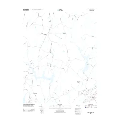
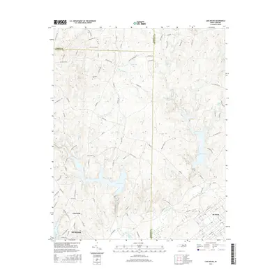
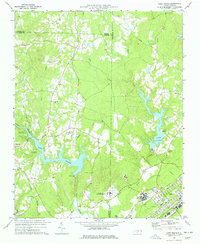 1977 Lake Michie1977 Print · USGSThe Flat River valley in the late seventies reveals a landscape of growing towns and significant public institutions between Durham and Granville. Researchers can trace the footprints of Bahama and Butner, alongside family landmarks like the Carrington Cem and Ellis Chapel.2 unique versions available
 - 1981 Map of Moriah
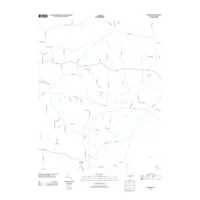
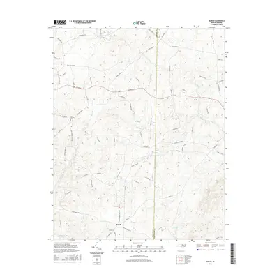
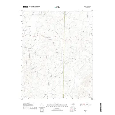
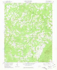 1981 Moriah1981 Print · USGSIn the early eighties, this rural corridor between Person and Granville counties remained a landscape of scattered family farms and country churches. Researchers can trace local roots through numerous cemeteries and landmarks like Trinity Ch, Moriah, and Siloam Ch.2 unique versions available
 - 1984 Map of Henderson, 1985 Print
 1984 Henderson1985 Print · USGSNorth Carolina’s northern Piedmont comes into focus in the mid-1980s, centered on the crossroads of Henderson and Oxford. Genealogists and historians can trace the paths of the Southern railroad or locate communities near the Camp Butner National Guard Range and John H. Kerr Reservoir.
 - 1991 Map of Henderson
 1991 Henderson1991 Print · USGSThe northern Piedmont and Virginia borderlands come into focus in the early nineties, showing a landscape defined by major reservoirs and growing towns. Trace the rail-and-road connections between Oxford, Henderson, and Durham while exploring the developing shores of Falls Lake.2 unique versions available
 - 2010 Map of Moriah, 2010 Print
 2010 Moriah2010 Print · USGSCovers Potluck Community Farm, including Moriah, Peeds Store, and other nearby areas
 - 2010 Map of Lake Michie, 2010 Print
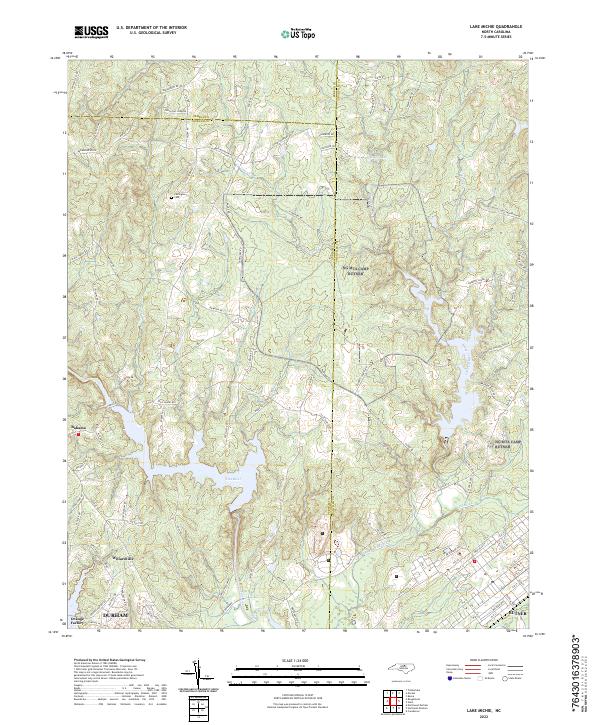
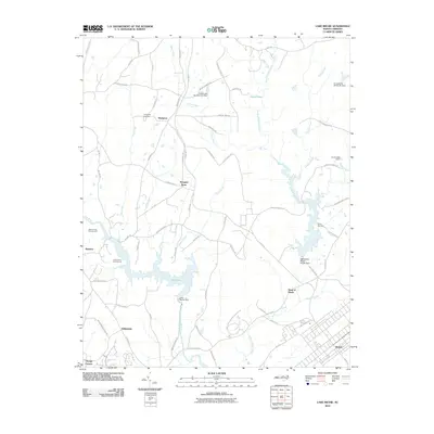 2010 Lake Michie2010 Print · USGSCovers Potluck Community Farm, including Durham, Butner, and other nearby areas
 - 2013 Map of Moriah, 2013 Print
 2013 Moriah2013 Print · USGSCovers Potluck Community Farm, including Moriah, Peeds Store, and other nearby areas
 - 2013 Map of Lake Michie, 2013 Print
 2013 Lake Michie2013 Print · USGSCovers Potluck Community Farm, including Durham, Butner, and other nearby areas
 - 2016 Map of Moriah, 2016 Print
 2016 Moriah2016 Print · USGSCovers Potluck Community Farm, including Moriah, Peeds Store, and other nearby areas
 - 2016 Map of Lake Michie, 2016 Print
 2016 Lake Michie2016 Print · USGSCovers Potluck Community Farm, including Durham, Butner, and other nearby areas
 - 2019 Map of Moriah, 2019 Print
 2019 Moriah2019 Print · USGSCovers Potluck Community Farm, including Moriah, Peeds Store, and other nearby areas
 - 2019 Map of Lake Michie, 2019 Print
 2019 Lake Michie2019 Print · USGSCovers Potluck Community Farm, including Durham, Butner, and other nearby areas
 - 2022 Map of Lake Michie, 2022 Print
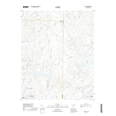
 2022 Lake Michie2022 Print · USGSNear the intersection of three counties in the early 2020s, this area shows a landscape defined by the Flat River and local rural centers. Researchers can trace family history at Carrington Cem or explore the developed grids of Willardville and Butner.
 - 2022 Map of Moriah, 2022 Print
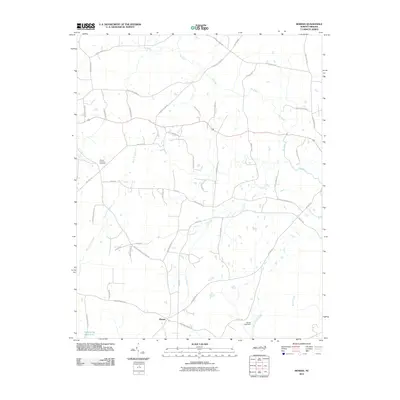
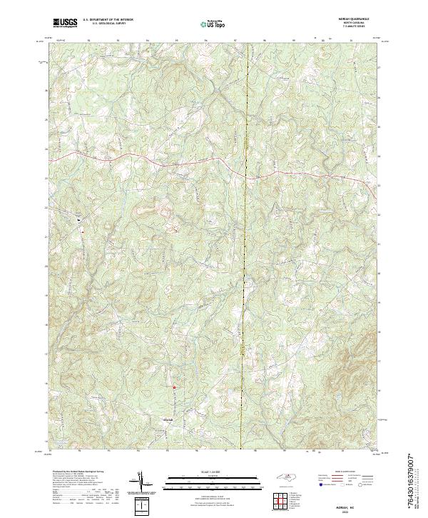 2022 Moriah2022 Print · USGSThe rural borderlands between Person and Granville counties come to life in this recent survey. Researchers can locate family landmarks like the Mount Harmony Cem and trace the industrial footprint of the Pyrophyllite Mine near the banks of the Tar River.
End of results
Showing maps 1-20 of 20
Frequently asked questions
- What are the different types of historical maps available for Potluck Community Farm?
- What is the oldest map of Potluck Community Farm?
- Where can I purchase historical maps of Potluck Community Farm for my home or office?
- Where can I download high-res historical maps of Potluck Community Farm?
- Are there historical topographic maps available for Potluck Community Farm?
- Is there historical aerial imagery available for Potluck Community Farm?
- Where are historical maps of Potluck Community Farm sourced from?