Loading...
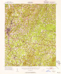
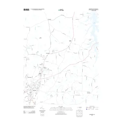
Loading map...1943 Map of Roxboro
USGS Topo · Published 1956About this map
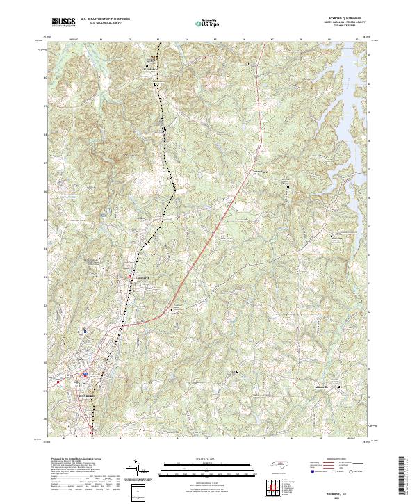
Roxboro serves as the primary hub of this 1943 survey, showing a landscape defined by small agrarian settlements and an extensive network of country schools and churches. The industrial presence of Longhurst and the transit corridor of the Norfolk and Western railroad indicate the economic drivers of the era, while the southeastern corner of the map is dominated by the Camp Butner Military Reservation, reflecting the region's wartime mobilization.
Find a feature on this map
50 named features on this map. Tap any name to fly to it.
Don’t see what you’re looking for? This feature index may not catch every label — zoom into the map to look around manually.
Map Details
Date Portrayed1943
Date Published1956
PublisherU.S. Geological Survey
Map TypeTopographic
Scale1:62,500
Physical Dimensions16.9 x 20.8 inches
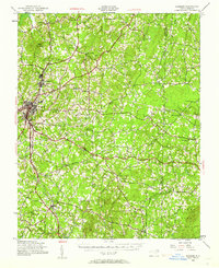
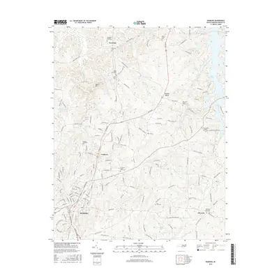
Editions of this 1943 Roxboro Map
2 editions found
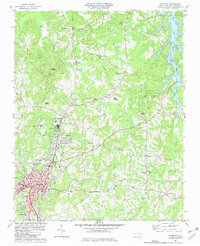
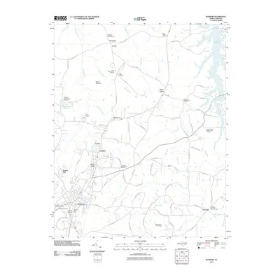
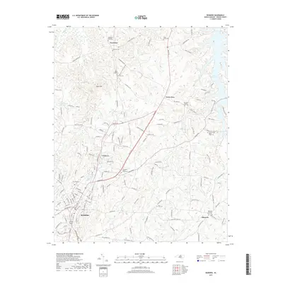
Historical Maps of Roxboro Through Time
7 maps found
Featured Locations
Source Details
SourceU.S. Geological Survey
CopyrightPublic Domain