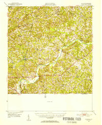
1952 Map of Milton
USGS Topo · Published 1953About this map
The Dan River meanders through this borderland between Virginia and North Carolina, serving as a central geographic feature that defines the local landscape and economy. Along its banks and tributaries like Birch Creek and Lawsons Creek, numerous community focal points are visible, including the Sutherlin Millpond and Byrds Millpond, indicating a history of water-powered industry. The rural character of the area is emphasized by a dense network of country schools and churches, such as the Wilson Memorial Sch and Mercy Seat Ch, which served dispersed settlements like Brooklyn and Turbeville.
Find a feature on this map
62 named features on this map. Tap any name to fly to it.
Don’t see what you’re looking for? This feature index may not catch every label — zoom into the map to look around manually.
Map Details
Editions of this 1952 Milton Map
This is the sole edition of this map. No revisions or reprints were ever made.
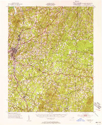
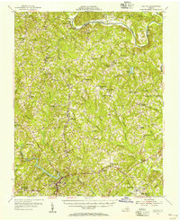
Other maps of this area

1921 · Chatham
USGS Topo · 1:48,000

1923 · Danville
USGS Topo · 1:48,000

1923 · Chatham
USGS Topo · 1:62,500

1925 · Danville
USGS Topo · 1:62,500
1943 · Roxboro
USGS Topo · 1:62,500

1953 · South Boston
USGS Topo · 1:62,500

1953 · Greensboro
USGS Topo · 1:250,000

1954 · Greensboro
USGS Topo · 1:250,000
1954 · Halifax
USGS Topo · 1:62,500

1954 · Riceville
USGS Topo · 1:62,500