
1923 Map of Chatham
USGS Topo · Published 1923About this map
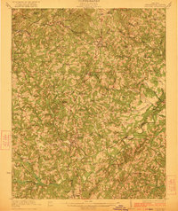
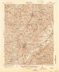
Chatham serves as the central hub of this Southside Virginia landscape, situated where the Danville Road and the Southern Railway intersect. The terrain is defined by the winding courses of the Pigg River and Banister River, while the prominent ridge of White Oak Mtn looms to the southeast. The settlement pattern reveals a dense network of early 20th-century rural infrastructure, including namesake locations like Tight Squeeze and the junction at Elba, which identifies both the old station name and the emergent post office at Gretna.
Find a feature on this map
115 named features on this map. Tap any name to fly to it.
Don’t see what you’re looking for? This feature index may not catch every label — zoom into the map to look around manually.
Map Details
Editions of this 1923 Chatham Map
3 editions found
Other maps of this area

1890 · Roanoke
USGS Topo · 1:125,000

1891 · Roanoke
USGS Topo · 1:125,000

1892 · Lynchburg
USGS Topo · 1:125,000

1921 · Chatham
USGS Topo · 1:48,000

1922 · Callands
USGS Topo · 1:48,000

1923 · Danville
USGS Topo · 1:48,000

1924 · Draper
USGS Topo · 1:48,000

1924 · Callands
USGS Topo · 1:62,500

1925 · Danville
USGS Topo · 1:62,500

1926 · Draper
USGS Topo · 1:62,500