
1924 Map of Callands
USGS Topo · Published 1924About this map
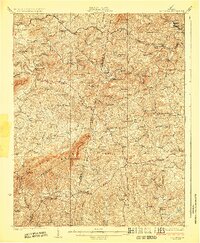
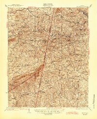
Turkeycock Mountain and the Brier Mountain ridge dominate this Southern Virginia landscape at the junction of Franklin, Henry, and Pittsylvania counties. The 1920s topography reveals a rural society built around the winding courses of the Pigg River and Sandy River. Transportation across these waters relied on numerous named crossings such as Fralin Bridge, Edwards Ford, and Louis Island Bridge.
Find a feature on this map
119 named features on this map. Tap any name to fly to it.
Don’t see what you’re looking for? This feature index may not catch every label — zoom into the map to look around manually.
Map Details
Editions of this 1924 Callands Map
3 editions found
Other maps of this area

1890 · Roanoke
USGS Topo · 1:125,000

1891 · Roanoke
USGS Topo · 1:125,000

1892 · Lynchburg
USGS Topo · 1:125,000

1921 · Chatham
USGS Topo · 1:48,000

1922 · Callands
USGS Topo · 1:48,000

1923 · Danville
USGS Topo · 1:48,000

1923 · Chatham
USGS Topo · 1:62,500

1924 · Martinsville
USGS Topo · 1:48,000

1924 · Draper
USGS Topo · 1:48,000

1925 · Rocky Mount
USGS Topo · 1:48,000