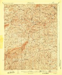
1924 Map of Callands
USGS Topo · Published 1924About this map
Turkeycock Mountain dominates the southwestern horizon in this early 1920s survey of the borderlands between Franklin, Henry, and Pittsylvania counties. The landscape is defined by a dense network of river crossings and small educational centers, reflecting a rural society reliant on the Pigg River and Snow Creek. Dozens of local institutions are mapped, including the Mayflower School and Mother Memorial Church, alongside several family-named stores such as Adams Store and Giles Store.
Find a feature on this map
111 named features on this map. Tap any name to fly to it.
Don’t see what you’re looking for? This feature index may not catch every label — zoom into the map to look around manually.
Map Details
Editions of this 1924 Callands Map
3 editions found
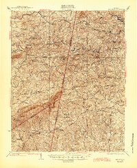
Other maps of this area

1890 · Roanoke
USGS Topo · 1:125,000

1891 · Roanoke
USGS Topo · 1:125,000

1892 · Lynchburg
USGS Topo · 1:125,000

1921 · Chatham
USGS Topo · 1:48,000

1922 · Callands
USGS Topo · 1:48,000

1923 · Danville
USGS Topo · 1:48,000

1923 · Chatham
USGS Topo · 1:62,500

1924 · Martinsville
USGS Topo · 1:48,000

1924 · Draper
USGS Topo · 1:48,000

1924 · Callands
USGS Topo · 1:62,500