
Loading...
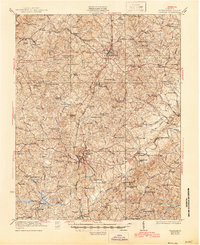
Loading map...1921 Map of Chatham
USGS Topo · Published 1921About this map
Chatham serves as the focal point of this 1921 survey, situated along the Southern railway line in central Pittsylvania County. The landscape is defined by the prominent ridge of White Oak Mountain and the winding courses of the Banister River and Pigg River. This era shows a densely settled rural landscape, characterized by a high concentration of community landmarks such as Shelhorse School, Mountain Spring Church, and Green Bay Church.
Find a feature on this map
45 named features on this map. Tap any name to fly to it.
Don’t see what you’re looking for? This feature index may not catch every label — zoom into the map to look around manually.
Map Details
Date Portrayed1921
Date Published1921
PublisherU.S. Geological Survey
Map TypeTopographic
Scale1:48,000
Physical Dimensions21.44 x 27.1 inches
Editions of this 1921 Chatham Map
This is the sole edition of this map. No revisions or reprints were ever made.
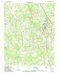
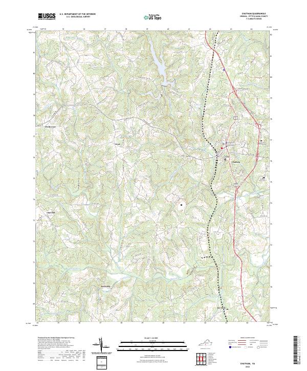
Historical Maps of Chatham Through Time
4 maps found
Featured Locations
Source Details
SourceU.S. Geological Survey
CopyrightPublic Domain