
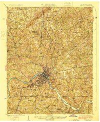
1925 Map of Danville
USGS Topo · Published 1925About this map
Danville and its surrounding mill towns anchor this 1920s landscape along the winding Dan River. The survey highlights the industrial and residential development concentrated south of White Oak Mountain, where several distinct neighborhoods and early suburbs like Schoolfield, Bannerville, and Almagro are clearly delineated. These settlements were linked by the Southern railroad and historic thoroughfares like Martinsville Road, reflecting a region transitioning into a manufacturing hub.
Find a feature on this map
82 named features on this map. Tap any name to fly to it.
Don’t see what you’re looking for? This feature index may not catch every label — zoom into the map to look around manually.
Map Details
Editions of this 1925 Danville Map
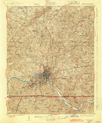
3 editions found
Other maps of this area

1921 · Chatham
USGS Topo · 1:48,000

1922 · Callands
USGS Topo · 1:48,000

1923 · Danville
USGS Topo · 1:48,000

1923 · Chatham
USGS Topo · 1:62,500

1924 · Draper
USGS Topo · 1:48,000

1924 · Callands
USGS Topo · 1:62,500

1926 · Draper
USGS Topo · 1:62,500

1944 · Draper
USGS Topo · 1:62,500

1944 · Callands
USGS Topo · 1:62,500

1952 · Milton
USGS Topo · 1:62,500