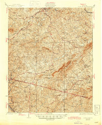
1925 Map of Rocky Mount
USGS Topo · Published 1925About this map
The Pigg River and Smith River drainage basins define the complex topography of this 1925 survey, which covers the rugged border between Franklin and Henry counties. The landscape is densely populated with community landmarks, reflecting a rural society organized around neighborhood institutions. Numerous schools, such as the Center Ridge School and Hunley School, are scattered through the hollows, alongside mills like Cassells Mill and Bowles Mill that utilized local water power.
Find a feature on this map
103 named features on this map. Tap any name to fly to it.
Don’t see what you’re looking for? This feature index may not catch every label — zoom into the map to look around manually.
Map Details
Editions of this 1925 Rocky Mount Map
This is the sole edition of this map. No revisions or reprints were ever made.
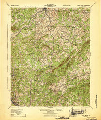
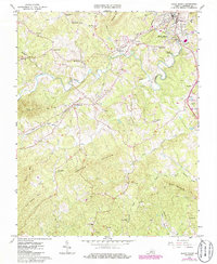
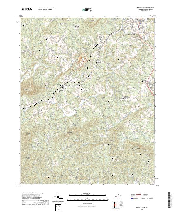
Historical Maps of Rocky Mount Through Time
5 maps found