Loading...
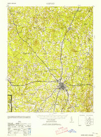
Loading map...1953 Map of Oxford
USGS Topo · Published 1953About this map
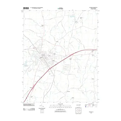
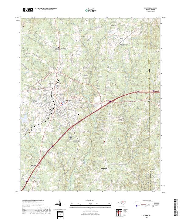
The town of Oxford serves as the focal point of this Granville County survey, where the intersecting lines of the Southern Railway and Seaboard Railway define the regional transport hub. To the north and west, the landscape is dotted with small agricultural communities and social centers like Satterwhite, Berea, and Kintons Cross Road. The map provides significant detail for genealogists, marking numerous rural institutions such as Young Zion Sch and St Matthews Ch, along with the notable John Penns Grave near the northern boundary.
Find a feature on this map
71 named features on this map. Tap any name to fly to it.
Don’t see what you’re looking for? This feature index may not catch every label — zoom into the map to look around manually.
Map Details
Date Portrayed1953
Date Published1953
PublisherU.S. Geological Survey
Map TypeTopographic
Scale1:62,500
Physical Dimensions16.7 x 22.6 inches
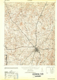
Editions of this 1953 Oxford Map
2 editions found
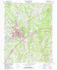
Historical Maps of Oxford Through Time
8 maps found
Featured Locations
Source Details
SourceU.S. Geological Survey
CopyrightPublic Domain