
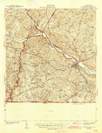
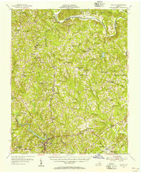
1943 Map of Clarksville
USGS Topo · Published 1943About this map
Clarksville stands as a primary hub in this early 1940s landscape, situated at the confluence of the Dan River and Roanoke River. The region exhibits a dense network of rural infrastructure, from family-named schools like Gravel Hill Sch and Mooresville Sch to numerous churches such as Spanish Grove Ch and Ephesus Ch. The Southern railroad provides the backbone for transportation, connecting settlements like Jeffress and Finchley while navigating the river valleys.
Find a feature on this map
85 named features on this map. Tap any name to fly to it.
Don’t see what you’re looking for? This feature index may not catch every label — zoom into the map to look around manually.
Map Details
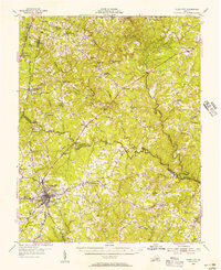
Editions of this 1943 Clarksville Map
2 editions found
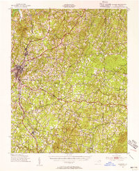
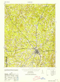
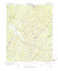
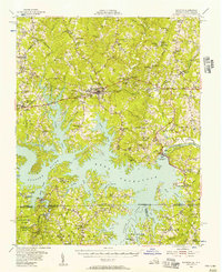
Other maps of this area

1941 · Clarksville
USGS Topo · 1:48,000
1943 · Roxboro
USGS Topo · 1:62,500
1953 · Oxford
USGS Topo · 1:62,500

1953 · South Boston
USGS Topo · 1:62,500

1953 · Greensboro
USGS Topo · 1:250,000

1954 · Greensboro
USGS Topo · 1:250,000
1954 · Clover
USGS Topo · 1:62,500
1954 · Halifax
USGS Topo · 1:62,500
1955 · Chase City
USGS Topo · 1:62,500
1955 · Boydton
USGS Topo · 1:62,500