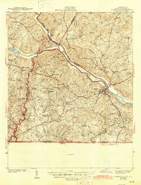
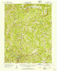
1943 Map of Clarksville
USGS Topo · Published 1945About this map
Staunton River State Park marks the significant confluence where the Dan River and the Roanoke River meet at the western edge of Mecklenburg County. This early 1940s landscape is defined by its pre-reservoir riverbed, showing Nelsons Island, Occaneechi Island, and Lewis Island as they appeared before the construction of the John H. Kerr Dam. The topography reveals a dense network of rural infrastructure, from the Lewis Mill and a Rock Quarry to the numerous country schools like Hollow Rock Sch and Finchley Sch. The Southern railroad connects the primary settlement of Clarksville to outlying communities such as Jeffress and Buffalo Springs. Local history is deeply embedded in the many named churches and burial grounds, including State Line Ch and the White House Cem, illustrating the agricultural and social centers of Southside Virginia before mid-century modernization.
Find a feature on this map
85 named features on this map. Tap any name to fly to it.
Don’t see what you’re looking for? This feature index may not catch every label — zoom into the map to look around manually.
Map Details
Editions of this 1943 Clarksville Map
2 editions found
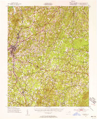
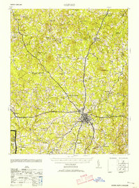
Other maps of this area

1941 · Clarksville
USGS Topo · 1:48,000

1943 · Clarksville
USGS Topo · 1:62,500
1943 · Roxboro
USGS Topo · 1:62,500
1953 · Oxford
USGS Topo · 1:62,500

1953 · South Boston
USGS Topo · 1:62,500

1953 · Greensboro
USGS Topo · 1:250,000

1954 · Greensboro
USGS Topo · 1:250,000
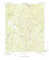
1954 · Clover
USGS Topo · 1:62,500
1954 · Halifax
USGS Topo · 1:62,500
1955 · Chase City
USGS Topo · 1:62,500