
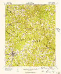
1941 Map of Clarksville
USGS Topo · Published 1941About this map
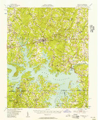
The Roanoke River system forms the central nervous system of this Mecklenburg County landscape, just before the construction of major dams permanently altered the river valley. The confluence of the Dan River and Staunton River creates a complex network of islands and bottomlands, dominated by the massive Occaneechi Island and nearby Lewis Island. This era captures a rural economy deeply tied to the Southern Railway, which links crossroads settlements like Buffalo Junc, Nelson, and Soudan.
Find a feature on this map
88 named features on this map. Tap any name to fly to it.
Don’t see what you’re looking for? This feature index may not catch every label — zoom into the map to look around manually.
Map Details
Editions of this 1941 Clarksville Map
This is the sole edition of this map. No revisions or reprints were ever made.
Other maps of this area

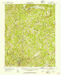
1943 · Clarksville
USGS Topo · 1:62,500
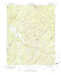
1943 · Roxboro
USGS Topo · 1:62,500
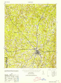
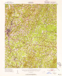
1953 · Oxford
USGS Topo · 1:62,500

1953 · South Boston
USGS Topo · 1:62,500

1953 · Greensboro
USGS Topo · 1:250,000

1954 · Greensboro
USGS Topo · 1:250,000
1954 · Clover
USGS Topo · 1:62,500
1954 · Halifax
USGS Topo · 1:62,500
1955 · Chase City
USGS Topo · 1:62,500
1955 · Boydton
USGS Topo · 1:62,500