Old Maps of Mecklenburg County, Virginia
Explore 131 old maps of Mecklenburg County, spanning from 1941 to today. These high-resolution historic maps reveal how streets, neighborhoods, landmarks, and natural features evolved over time — perfect for genealogy, metal detecting, research, and local history exploration.
What you can do with these maps:
- See how Mecklenburg County changed over time: Compare historical maps to modern-day views to trace roads, homesites, rail lines & more.
- View detailed metadata: Each map includes creators, publishers, year, scale, and archive source.
- Overlay maps with satellite & LiDAR: Visualize the past alongside modern tools to explore terrain & human change.
- Trusted historical sources: Maps sourced from the USGS, Library of Congress, and other archives.
- Access maps your way: View online, download high-res files, or order prints for personal or research use.
Start exploring old maps of Mecklenburg County to uncover forgotten places, hidden landmarks, and the deep history beneath your feet.
Mecklenburg County, VA maps
(131)- 1941 Map of Clarksville
 1941 Clarksville1941 Print · USGSMecklenburg County and the Virginia-North Carolina border are captured here just before the Roanoke River valley was transformed by mid-century dam projects. Researchers can trace ancestral roots through dozens of local landmarks like Oakhurst Cem, Buffalo Junc, and Occaneechi Island.
 - 1943 Map of Clarksville
 1943 Clarksville1943 Print · USGSThe Clarksville region in the early 1940s was defined by its vibrant river life and deep-rooted rural communities. Genealogists and historians can trace the foundations of local society through Buffalo Springs, the Oakhurst Cem, and Prestwould.2 unique versions available
 - 1953 Map of Greensboro, 1981 Print
 1953 Greensboro1981 Print · USGSThe Piedmont borderlands of North Carolina and Virginia show a landscape defined by new reservoirs and old rail lines. Trace family roots and the changing river geography through Elon College, the John H Kerr Reservoir, and South Boston.
 - 1954 Map of Greensboro
 1954 Greensboro1954 Print · USGSThe Piedmont borderlands of North Carolina and Virginia come alive in this mid-fifties study of a region defined by its rivers and rails. Researchers can trace the growing Buggs Island Lake or follow the paths of the Southern Ry and Seaboard Air Line RR through towns like Oxford and Reidsville.
 - 1954 Map of Clover, 1956 Print
 1954 Clover1956 Print · USGSThe Roanoke River valley in the mid-1950s remained a landscape of rural schoolhouses and family-named creek branches. Genealogists can trace property near Drakes Branch or Wylliesburg, locating long-standing landmarks like Blackcastle School and New Hope Church.2 unique versions available
 - 1955 Map of Chase City, 1956 Print
 1955 Chase City1956 Print · USGSChase City and the surrounding rural landscapes of Mecklenburg and Lunenburg counties are captured here in the mid-fifties. Genealogists and local historians can trace family roots through sites like Loves Mill, Tussekiah Ch, and Blevins Corner.
 - 1955 Map of Kenbridge, 1957 Print
 1955 Kenbridge1957 Print · USGSSouthside Virginia's rural heartland thrives in the mid-fifties, shaped by the Virginian railroad and a landscape of crossroads hamlets. Genealogists and local historians can trace family roots through numerous sites like Whittles Mill, St Mark Ch, and Lochleven Sch.
 - 1955 Map of Boydton, 1957 Print
 1955 Boydton1957 Print · USGSMecklenburg County and the Virginia-North Carolina border are shown here during the mid-fifties, just as the newly formed Kerr Reservoir reshaped the Roanoke River valley. Genealogists and local historians can trace family-named sites like Dodson Corner and Rogers Corner or locate vanished landmarks like Island Hill Sch.2 unique versions available
 - 1957 Map of Clarksville, 1959 Print
 1957 Clarksville1959 Print · USGSSouthern Mecklenburg County and the North Carolina borderlands are captured here in the late fifties, just as Kerr Reservoir reshaped the local geography. Family historians can trace ancestral sites like Siddon Hebron Ch, Wharton Memorial, and the West End High Sch.2 unique versions available
 - 1962 Map of Greensboro
 1962 Greensboro1962 Print · USGSThe Piedmont region along the Virginia and North Carolina border comes alive in the early 1960s, showing a landscape defined by industry and new reservoirs. Trace the path of the Virginian RR or explore the early development of Greensboro and Durham.
 - 1966 Map of Greensboro
 1966 Greensboro1966 Print · USGSThe North Carolina and Virginia Piedmont thrives during the mid-sixties, showcasing a landscape of textile hubs and expanding river reservoirs. Researchers can trace the rail corridors of the Southern Railway, find local landmarks like Elon College, or locate the extensive Camp Butner Military Reservation.
 - 1966 Map of Wightman, 1967 Print
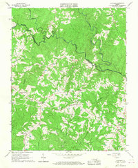 1966 Wightman1967 Print · USGSMecklenburg and Lunenburg counties are shown in the mid-1960s, where the three branches of the Meherrin River meet. Genealogists and local historians can trace family-named crossroads like Cox Corner and Russell Corner or find rural landmarks like Reekes Mill and William Grove Ch.2 unique versions available
 - 1966 Map of North View, 1967 Print
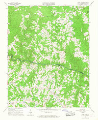 1966 North View1967 Print · USGSCrossing the Meherrin River in the 1960s, this area of Southside Virginia reveals a landscape of small communities and family-named landmarks. Genealogists and local historians can trace legacy sites like Whittles Mill, Bagleys Mills, and St Johns Cem.4 unique versions available
 - 1966 Map of Forksville, 1968 Print
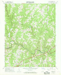 1966 Forksville1968 Print · USGSThe rural borderlands of Lunenburg, Mecklenburg, and Brunswick Counties are captured here in the mid-sixties. Local researchers can trace family landmarks like Stones Mill, the community at Forksville, and the Seaboard Coast Line railroad.2 unique versions available
 - 1966 Map of Chase City, 1968 Print
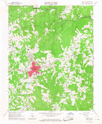 1966 Chase City1968 Print · USGSMecklenburg County is shown in the mid-sixties as a center of rural industry and community life centered around the Chase City rail corridor. Researchers can trace family roots through landmarks like Lee Sch, Bethlehem Cem, and Scotts Crossroads.2 unique versions available
 - 1966 Map of Fort Mitchell, 1968 Print
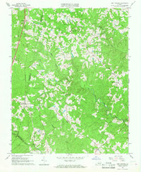 1966 Fort Mitchell1968 Print · USGSLunenburg County rural life in the mid-1960s was centered around remote crossroads, country churches, and the steel of the Southern railroad. Researchers can trace old family landmarks and community hubs like Wallaces Store, Salem Ch, and Plantersville.2 unique versions available
 - 1968 Map of Clarksville North, 1972 Print
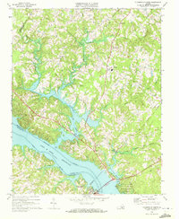 1968 Clarksville North1972 Print · USGSMecklenburg County, Virginia, transformed in the late 1960s as the Roanoke River reservoir reshaped the rural landscape. Genealogists and historians can trace family-named landmarks and community hubs like Orgainsville, St Matthews Ch, and Jones Store.4 unique versions available
 - 1968 Map of South Hill SE, 1972 Print
 1968 South Hill SE1972 Print · USGSThe Roanoke River valley is shown transformed by the waters of Lake Gaston in the late sixties as the border region adapted to its new shoreline. Genealogists can trace numerous rural congregations and crossroads, including Barker Crossroads, Five Forks, and Holly Grove Ch.3 unique versions available
 - 1968 Map of Buffalo Springs, 1972 Print
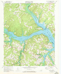 1968 Buffalo Springs1972 Print · USGSThe river forks of southern Virginia were being transformed into the massive John H Kerr Reservoir when this survey was updated in the late sixties. Researchers can trace the rural communities of Dryburg and Buffalo Springs or locate Fork Ch and several family-named creek branches.3 unique versions available
 - 1968 Map of Bracey, 1972 Print
 1968 Bracey1972 Print · USGSThe Virginia-North Carolina border country is shown here in the late sixties as the reservoir of Lake Gaston reshaped the local geography. Genealogists and historians can locate rural landmarks like Roanoke Zion Ch, Southside Sch, and the Seaboard Coast Line rail corridor.4 unique versions available
 - 1968 Map of Tungsten, 1972 Print
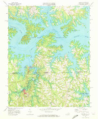 1968 Tungsten1972 Print · USGSThe Virginia-North Carolina border at the height of the Vietnam era shows a landscape shaped by mining and massive reservoirs. Researchers can find mining footprints at Tungsten and trace family roots at Antioch Ch or Island Hill Ch.2 unique versions available
 - 1968 Map of John H Kerr Dam, 1972 Print
 1968 John H Kerr Dam1972 Print · USGSThe Roanoke River valley is seen here just after the mid-century creation of major reservoirs along the Virginia and North Carolina border. Genealogists and local historians can trace the foundations of communities like Castle Heights and rural landmarks such as Lands Chapel and Jerusalem Ch.4 unique versions available
 - 1968 Map of Clarksville South, 1972 Print
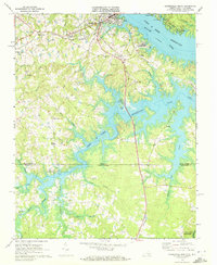 1968 Clarksville South1972 Print · USGSMecklenburg County at the end of the sixties reveals a landscape transformed by the waters of the John H Kerr Reservoir along the state line. Genealogists and local historians can trace rural communities like Buffalo Junction and Soudan, or locate old landmarks including Mt Ararat Ch and Hillcrest Sch.3 unique versions available
 - 1968 Map of Wylliesburg, 1972 Print
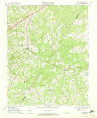 1968 Wylliesburg1972 Print · USGSSouthside Virginia's rural landscape is captured here in the late sixties, showing the crossroads culture of Charlotte and Mecklenburg counties. Researchers can trace family roots through numerous small landmarks like Hebron Ch, Red Oak, and Philbeck Crossroads.
 - 1968 Map of La Crosse, 1972 Print
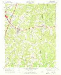 1968 La Crosse1972 Print · USGSMecklenburg County was a bustling rail corridor in the late sixties, centered on the strategic crossing at La Crosse. Genealogists can trace family landmarks like Booker-Boyd Sch and rural congregations at Miles Chapel or Mt Sinai Ch.3 unique versions available
Showing maps 1-25 of 131
Top cities of Mecklenburg County
- South Hill historical maps
- Chase City historical maps
- Bracey historical maps
- Clarksville historical maps
- La Crosse historical maps
- Boydton historical maps
See more
Frequently asked questions
- What are the different types of historical maps available for Mecklenburg County?
- What is the oldest map of Mecklenburg County?
- Where can I purchase historical maps of Mecklenburg County for my home or office?
- Where can I download high-res historical maps of Mecklenburg County?
- Are there historical topographic maps available for Mecklenburg County?
- Is there historical aerial imagery available for Mecklenburg County?
- Where are historical maps of Mecklenburg County sourced from?