Old Maps of Rutherfordton, North Carolina for Academic Research
Study the evolution of Rutherfordton with 21 high-resolution historic maps. Whether you're teaching, researching, or modeling changes in land use, these maps provide essential visual documentation of urban, environmental, and geographic change.
- Analyze long-term change: Track patterns in development, transportation, and natural features.
- Ideal for environmental or urban studies: Support academic projects with primary historical map data.
- Use in the classroom or lab: Educators and researchers rely on these maps to bring historical context to life.
These maps are a powerful tool for teaching, research, and visualizing how Rutherfordton has changed over the decades.
Rutherfordton, NC maps
(21)- 1953 Map of Charlotte, 1968 Print
 1953 Charlotte1968 Print · USGSThe North Carolina Piedmont and South Carolina borderlands are shown in detail during a period of significant growth and reservoir development. Trace the rail corridors of the Southern Railway or find family roots in towns like China Grove, Misenheimer, and Lincolnton.3 unique versions available
 - 1954 Map of Charlotte
 1954 Charlotte1954 Print · USGSThe North Carolina Piedmont in the mid-1950s shows a region of rapid growth and industrial expansion centered around Charlotte. Trace the era's infrastructure through the Southern railroad lines and locate significant landmarks like the Charlotte Naval Ammunition Depot and Lake Norman.2 unique versions available
 - 1960 Map of Charlotte
 1960 Charlotte1960 Print · USGSMid-century North Carolina and South Carolina meet in this 1960 survey of the Piedmont's industrial and textile heartland. Trace the growth of Charlotte alongside historic landmarks like Kings Mountain National Military Park and the Charlotte Naval Ammunition Depot.2 unique versions available
 - 1962 Map of Charlotte
 1962 Charlotte1962 Print · USGSThe North Carolina Piedmont in the early sixties showcases a landscape transformed by massive reservoirs and industrial growth. Researchers can trace the development of Lake Norman, locate the Charlotte Naval Ammunition Depot, or find family landmarks like Wesley Chapel and Brown & Norcott Mills.
 - 1966 Map of Rutherfordton North, 1968 Print
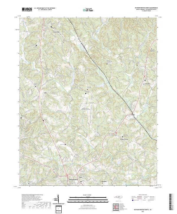
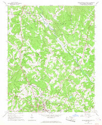 1966 Rutherfordton North1968 Print · USGSRutherford County's rural heartland is captured here in the mid-sixties as small communities like Gilkey and Union Mills maintained their distinct identities. Researchers can trace family roots through numerous sites including Round Hill Sch, Brittain Ch, and Liberty Hill Cem.
 - 1966 Map of Rutherfordton South, 1968 Print
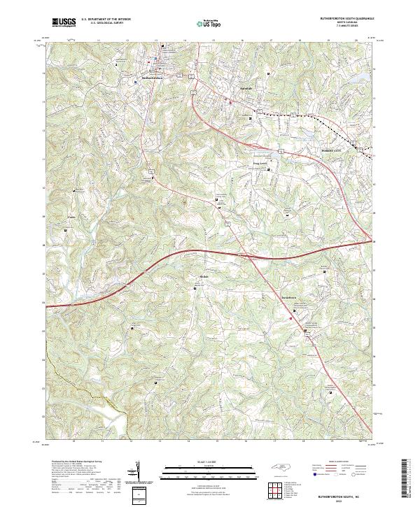
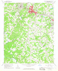 1966 Rutherfordton South1968 Print · USGSRutherford County in the mid-sixties shows the industrial hubs of Spindale and Rutherfordton linked by the Southern Railway. Researchers can locate dozens of rural landmarks like Kistlers Chapel, Washburn Bridge, and New Hope Sch.
 - 1986 Map of Gastonia
 1986 Gastonia1986 Print · USGSThe Carolina Piedmont in the mid-eighties shows a landscape shaped by Revolutionary War history and the textile industry. Trace the footprints of early battles at Kings Mountain National Military Park and locate depots along the Southern Railway in Shelby and Gastonia.
 - 1991 Map of Gastonia
 1991 Gastonia1991 Print · USGSThe Piedmont region along the North Carolina and South Carolina border shows a bustling industrial and transit corridor in the early nineties. Researchers can trace the sprawling footprints of Gastonia and Shelby or explore the grounds of Kings Mountain National Military Park and Lake Wylie.
 - 1993 Map of Rutherfordton South, 1996 Print
 1993 Rutherfordton South1996 Print · USGSRutherford County in the mid-1990s shows a landscape of industrial towns and rural family settlements connected by the Southern Railway. Genealogists can trace roots through numerous rural landmarks like Holly Springs Ch, Danieltown, and Oakland Sch.
 - 1993 Map of Rutherfordton North, 1996 Print
 1993 Rutherfordton North1996 Print · USGSRutherford County in the early nineties shows a landscape of established rail corridors and rural parishes. Genealogists and local researchers can trace family landmarks like The Bible Tabernacle, Ruth Sch, and Liberty Hill Cem.
 - 2002 Map of Rutherfordton North, 2003 Print
 2002 Rutherfordton North2003 Print · USGSRutherford County at the dawn of the millennium shows a landscape where Piedmont tradition meets modern infrastructure. Genealogists and local historians can trace family locations through numerous country landmarks like Brittain Ch, Union Mills, and the Gold Hill Cem.
 - 2010 Map of Rutherfordton North, 2010 Print
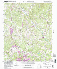
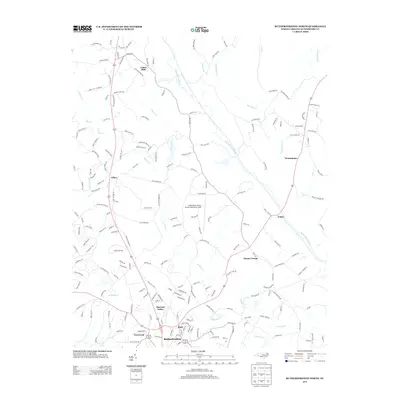
 2010 Rutherfordton North2010 Print · USGSCovers Rutherfordton, including Spindale, Ruth, and other nearby areas
 - 2010 Map of Rutherfordton South, 2010 Print
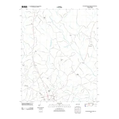
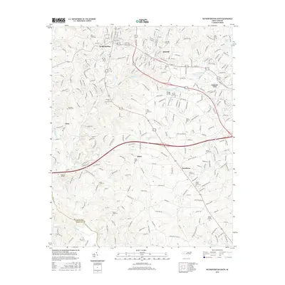
 2010 Rutherfordton South2010 Print · USGSCovers Rutherfordton, including Forest City, Spindale, and other nearby areas
 - 2013 Map of Rutherfordton South, 2013 Print
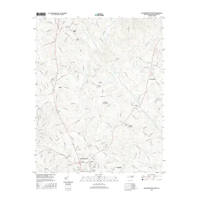
 2013 Rutherfordton South2013 Print · USGSCovers Rutherfordton, including Forest City, Spindale, and other nearby areas
 - 2013 Map of Rutherfordton North, 2013 Print
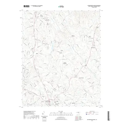
 2013 Rutherfordton North2013 Print · USGSCovers Rutherfordton, including Spindale, Ruth, and other nearby areas
 - 2016 Map of Rutherfordton South, 2016 Print
 2016 Rutherfordton South2016 Print · USGSCovers Rutherfordton, including Forest City, Spindale, and other nearby areas
 - 2016 Map of Rutherfordton North, 2016 Print
 2016 Rutherfordton North2016 Print · USGSCovers Rutherfordton, including Spindale, Ruth, and other nearby areas
 - 2019 Map of Rutherfordton North, 2019 Print
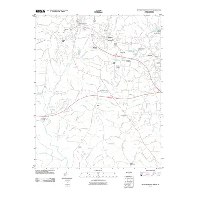
 2019 Rutherfordton North2019 Print · USGSCovers Rutherfordton, including Spindale, Ruth, and other nearby areas
 - 2019 Map of Rutherfordton South, 2019 Print
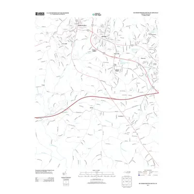
 2019 Rutherfordton South2019 Print · USGSCovers Rutherfordton, including Forest City, Spindale, and other nearby areas
 - 2022 Map of Rutherfordton South, 2022 Print
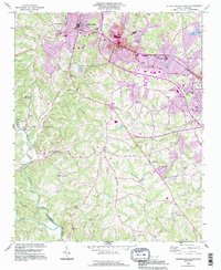
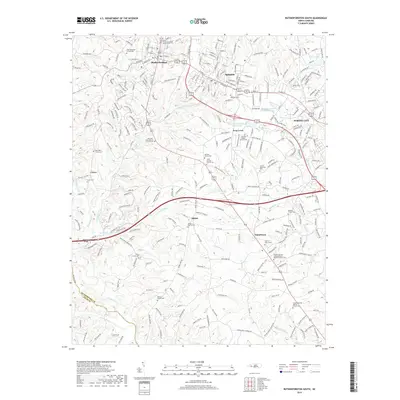
 2022 Rutherfordton South2022 Print · USGSThe Rutherfordton and Forest City area comes into clear focus in this modern era, showing the growth of the Piedmont corridor. Family researchers can trace dozens of sites including Adaville Baptist Church Cem, Frog Level, and the Rutherford County Courthouse.
 - 2022 Map of Rutherfordton North, 2022 Print
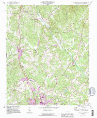
 2022 Rutherfordton North2022 Print · USGSRutherford County in the early 2020s shows a landscape where historic rural crossroads and modern infrastructure meet. Genealogists can trace family names at the Brittain Cem, Gold Hill Cem, or Union Mills while exploring the river valleys of the Second Broad River.
End of results
Showing maps 1-21 of 21
Top cities near Rutherfordton
- Forest City historical maps
- Spindale historical maps
- Landrum historical maps
- Columbus historical maps
- Chesnee historical maps
- Campobello historical maps
See more
Top neighborhoods of Rutherfordton
Frequently asked questions
- What are the different types of historical maps available for Rutherfordton?
- What is the oldest map of Rutherfordton?
- Where can I purchase historical maps of Rutherfordton for my home or office?
- Where can I download high-res historical maps of Rutherfordton?
- Are there historical topographic maps available for Rutherfordton?
- Is there historical aerial imagery available for Rutherfordton?
- Where are historical maps of Rutherfordton sourced from?