Old Maps of East Laurinburg, North Carolina for Academic Research
Study the evolution of East Laurinburg with 12 high-resolution historic maps. Whether you're teaching, researching, or modeling changes in land use, these maps provide essential visual documentation of urban, environmental, and geographic change.
- Analyze long-term change: Track patterns in development, transportation, and natural features.
- Ideal for environmental or urban studies: Support academic projects with primary historical map data.
- Use in the classroom or lab: Educators and researchers rely on these maps to bring historical context to life.
These maps are a powerful tool for teaching, research, and visualizing how East Laurinburg has changed over the decades.
East Laurinburg, NC maps
(12)- 1949 Map of Laurinburg, 1953 Print
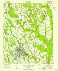 1949 Laurinburg1953 Print · USGSScotland County's rail hubs and rural townships are captured here at the peak of the post-war era. Researchers can identify family cemeteries and early local landmarks like Gibsons Mill, State Prison Camp No 610, and the Louisville Sch.
 - 1949 Map of Laurinburg, 1954 Print
 1949 Laurinburg1954 Print · USGSThe mid-century landscape of Scotland County comes alive in this survey of a growing rail hub and its rural surroundings. Researchers can trace the lines of the Seaboard Air Line, locate historic institutions like Flora College, or find family landmarks such as McNeill Cem and Gaineys Place.
 - 1953 Map of Florence, 1964 Print
 1953 Florence1964 Print · USGSThe Carolina borderlands in the mid-fifties were a landscape of vast river swamps and rising rail towns. Trace the legacy of the Seaboard Air Line through Florence or explore the wetlands surrounding Lake Waccamaw and the Green Swamp.3 unique versions available
 - 1954 Map of Florence
 1954 Florence1954 Print · USGSThe Carolinas borderlands come alive in the early fifties, showing the vital rail-and-river networks of the coastal plain. Genealogists can trace family footprints across the Green Swamp or through settlements like Red Springs, Chadbourn, and McColl.
 - 1957 Map of Laurinburg, 1960 Print
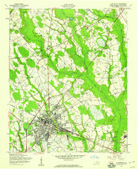 1957 Laurinburg1960 Print · USGSMid-century Scotland County centers on the rail hub of LAURINBURG, where the Seaboard Air Line and local short lines shaped the town's industrial footprint. Genealogists and local historians can trace family-named sites such as McFarland Cem, Gibson Mill, and Shaw High Sch.2 unique versions available
 - 1976 Map of Laurinburg, 1978 Print
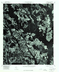 1976 Laurinburg1978 Print · USGSLaurinburg and Scotland County are captured in the mid-seventies through this detailed aerial orthophotograph. Researchers can trace the development of Laurinburg alongside the distinct communities of East Laurinburg and Sugar Hill.
 - 1983 Map of Laurinburg, 1984 Print
 1983 Laurinburg1984 Print · USGSThe Carolina borderlands come into focus in the early 1980s, showcasing a landscape defined by the Sandhills Game Land and major river systems. Genealogists and rail historians can trace the paths of the Seaboard Coast Line Railroad through Hamlet or locate St Andrews College and Cheraw State Park.2 unique versions available
 - 2010 Map of Laurinburg, 2010 Print
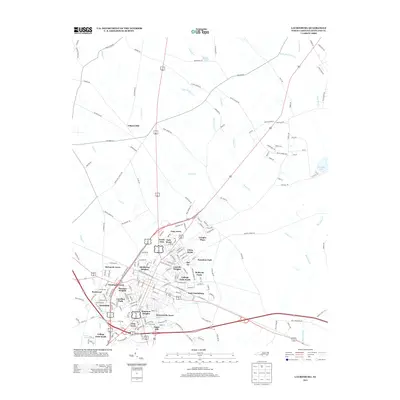
 2010 Laurinburg2010 Print · USGSCovers East Laurinburg, including Laurinburg, Langley Place Mobile Home Park, and other nearby areas
 - 2013 Map of Laurinburg, 2013 Print
 2013 Laurinburg2013 Print · USGSCovers East Laurinburg, including Laurinburg, Langley Place Mobile Home Park, and other nearby areas
 - 2016 Map of Laurinburg, 2016 Print
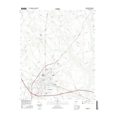 2016 Laurinburg2016 Print · USGSCovers East Laurinburg, including Laurinburg, Langley Place Mobile Home Park, and other nearby areas
 - 2019 Map of Laurinburg, 2019 Print
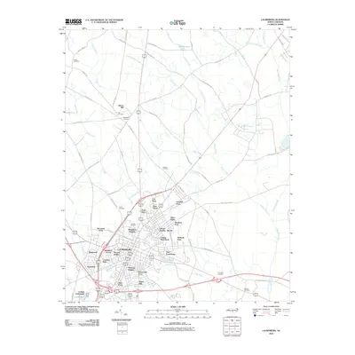
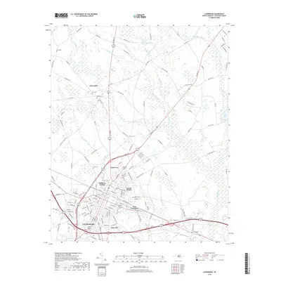 2019 Laurinburg2019 Print · USGSCovers East Laurinburg, including Laurinburg, Langley Place Mobile Home Park, and other nearby areas
 - 2022 Map of Laurinburg, 2022 Print
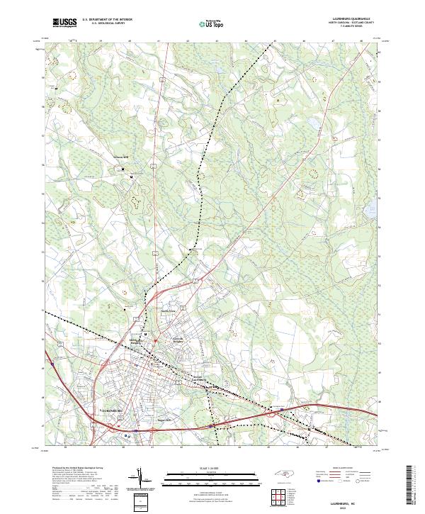 2022 Laurinburg2022 Print · USGSLaurinburg and the surrounding Scotland County landscape are captured here in the early 2020s, detailing the city's residential expansions and civic center. Researchers can trace local lineage through several family and community burial sites like Hillside Cem and Leach Cem, or locate the historic Scotland County Courthouse.
End of results
Showing maps 1-12 of 12
Top cities near East Laurinburg
- Laurinburg historical maps
- Bennettsville historical maps
- Raeford historical maps
- Pembroke historical maps
- Maxton historical maps
- McColl historical maps
See more
Frequently asked questions
- What are the different types of historical maps available for East Laurinburg?
- What is the oldest map of East Laurinburg?
- Where can I purchase historical maps of East Laurinburg for my home or office?
- Where can I download high-res historical maps of East Laurinburg?
- Are there historical topographic maps available for East Laurinburg?
- Is there historical aerial imagery available for East Laurinburg?
- Where are historical maps of East Laurinburg sourced from?