Old Maps of Powderhorn Mountain, North Carolina for Academic Research
Study the evolution of Powderhorn Mountain with 17 high-resolution historic maps. Whether you're teaching, researching, or modeling changes in land use, these maps provide essential visual documentation of urban, environmental, and geographic change.
- Analyze long-term change: Track patterns in development, transportation, and natural features.
- Ideal for environmental or urban studies: Support academic projects with primary historical map data.
- Use in the classroom or lab: Educators and researchers rely on these maps to bring historical context to life.
These maps are a powerful tool for teaching, research, and visualizing how Powderhorn Mountain has changed over the decades.
Powderhorn Mountain, NC maps
(17)- 1893 Map of Cranberry
 1893 Cranberry1893 Print · USGSThe high country of the Blue Ridge and Appalachians is captured here during the late 1800s, showing the early settlements and crossroads of Watauga and Johnson counties. Genealogists can trace family landmarks and early industry at Rhea Forge, Shulls Mill, and the many hamlets like Vilas and Sutherland.
 - 1895 Map of Cranberry
 1895 Cranberry1895 Print · USGSThe High Country of North Carolina and Tennessee comes alive in this late nineteenth-century survey. Genealogists and historians can trace the foundations of Mountain City or locate old community centers like Valle Cruces, Banners Elk, and Rhea Forge.
 - 1899 Map of Cranberry
 1899 Cranberry1899 Print · USGSThe high Appalachian borderlands of North Carolina and Tennessee appear here in the late nineteenth century, defined by mountain settlements and early river-powered industry. Researchers can trace the era's geography through landmarks like Rhea Forge, Shills Mill, and the historic Yonhalossee Road.
 - 1902 Map of Cranberry
 1902 Cranberry1902 Print · USGSThe North Carolina and Tennessee borderlands are captured here at the turn of the century as early railroads began penetrating the high ridges. Genealogists can trace family names and old settlements like Mountain City, Shoun Crossroads, and the industry at Rhea Forge.6 unique versions available
 - 1936 Map of Blowing Rock
 1936 Blowing Rock1936 Print · USGSThe North Carolina high country around Boone and Blowing Rock is documented here in the mid-1930s. Genealogists and researchers can trace family-named landmarks and mountain institutions, from the COUNTY HOME to remote sites like Bailey Camp Sch and St Marys Ch.
 - 1942 Map of Blowing Rock
 1942 Blowing Rock1942 Print · USGSWatauga and Caldwell Counties are shown here during the late nineteen-thirties and early forties, capturing the traditional highland communities and early development of the Blue Ridge Parkway. Genealogists can locate family landmarks like Shulls Mills, Poplar Grove Ch, and Liberty Hill Sch.4 unique versions available
 - 1953 Map of Winston-Salem, 1974 Print
 1953 Winston-Salem1974 Print · USGSThe North Carolina Piedmont and Virginia highlands meet in the mid-1950s, a landscape defined by the tobacco and textile hubs of the Blue Ridge foothills. Researchers can trace the rail-and-river geography connecting Winston-Salem to mountain towns like Mount Airy and Galax.2 unique versions available
 - 1955 Map of Winston-Salem
 1955 Winston-Salem1955 Print · USGSThe Central Blue Ridge and Piedmont transition are captured here in the mid-fifties, from the industrial hub of Winston-Salem to the high peaks of Southwest Virginia. Genealogists can trace family landmarks like Richmond Hill Ch, Siloam Ch, and the old rail stops along the Southern Railway.
 - 1962 Map of Winston-Salem
 1962 Winston-Salem1962 Print · USGSThe North Carolina Piedmont meets the Virginia highlands in the early sixties, showing the rail corridors and mountain gaps of the southern Appalachians. Researchers can trace the Blue Ridge Parkway or locate family sites near Winston-Salem, Mount Airy, and Hanging Rock Mountain.
 - 1967 Map of Deep Gap, 1969 Print
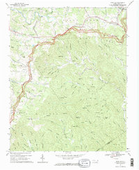 1967 Deep Gap1969 Print · USGSThe Watauga County highlands in the late sixties are defined by the winding Blue Ridge Parkway and high-elevation settlements. Genealogists and historians can locate old mountain churches and schools like Fairview Ch, Parkway Sch, and Mt Paran Ch.2 unique versions available
 - 1985 Map of Boone, 1986 Print
 1985 Boone1986 Print · USGSThe High Country and Blue Ridge Mountains come into focus during the mid-eighties as Boone and its surrounding wilderness areas undergo modern expansion. Genealogists and historians can trace family-named ridges and landmarks near Appalachian State University, the Cranberry Mines, and Valle Crucis.2 unique versions available
 - 1998 Map of Deep Gap, 1999 Print
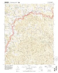 1998 Deep Gap1999 Print · USGSThe Blue Ridge highlands in the late 1990s are mapped here as the Blue Ridge Parkway snakes through Watauga and Wilkes counties. Researchers can locate remote mountain communities like Triplett, Laxon, and Rutherwood, alongside landmarks such as Holy Trinity Chapel and Parkway Sch.
 - 2010 Map of Deep Gap, 2010 Print
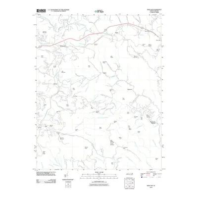 2010 Deep Gap2010 Print · USGSHigh-altitude mountain communities and the winding Blue Ridge Parkway are documented here during the early twenty-first century. Researchers can trace family sites at Laurel Fork Cemetery and explore the geography of early settlements like Triplett, Aho, and Rutherwood.
 - 2013 Map of Deep Gap, 2013 Print
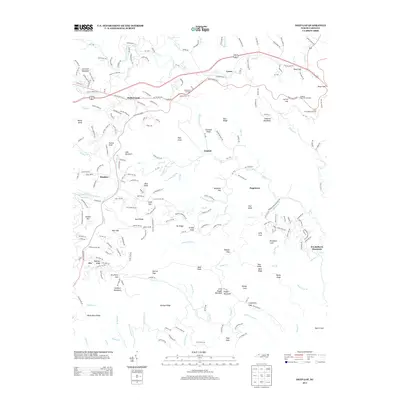 2013 Deep Gap2013 Print · USGSThe Blue Ridge highlands of Watauga County are captured here in the early twenty-first century, showing a landscape defined by high peaks and mountain gaps. Genealogists and hikers can trace family-named landmarks like Pasleys Ridge, Bentley Knob, and the small settlement of Triplett.
 - 2016 Map of Deep Gap, 2016 Print
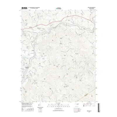 2016 Deep Gap2016 Print · USGSWatauga County high country in the mid-2010s shows a landscape of mountain gaps and small communities along the Blue Ridge Parkway. Researchers can trace the ridgelines of Wilson Ridge and Buck Ridge or locate family history at Laurel Fork Cem and the settlement of Rutherwood.
 - 2019 Map of Deep Gap, 2019 Print
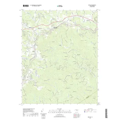 2019 Deep Gap2019 Print · USGSThe high mountain gaps of Watauga County are captured here in the late twenty-teens, showing the winding roads and high ridges near the Blue Ridge Parkway. Genealogists and hikers can trace the terrain from Deep Gap and Hogetown to the Laurel Fork Cemetery near Aho.
 - 2022 Map of Deep Gap, 2022 Print
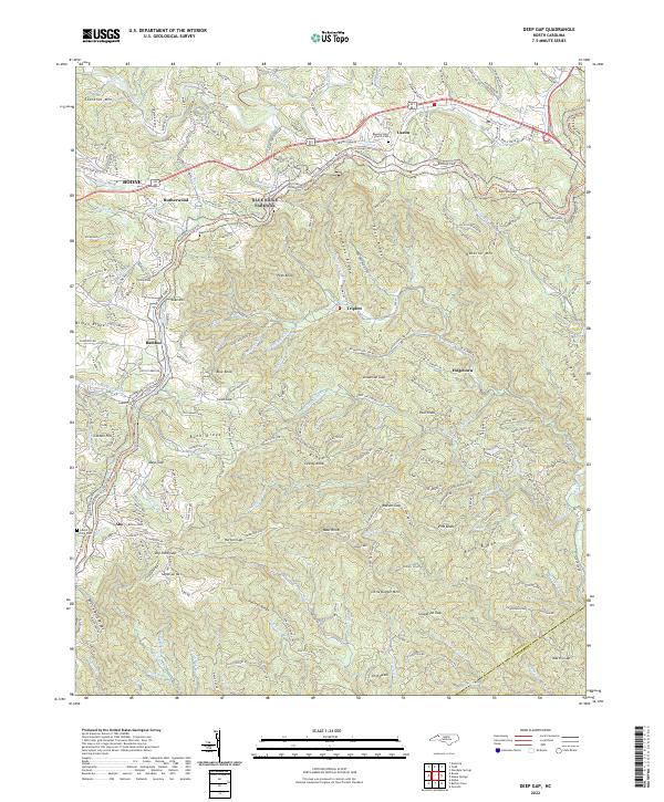 2022 Deep Gap2022 Print · USGSWatauga County’s high country comes alive in this 2022 survey, showcasing the winding mountain roads and gaps that define the Blue Ridge landscape. Genealogists can locate family sites near Regeneration Church-Cem or the crossroads of Rutherwood and Triplett.
End of results
Showing maps 1-17 of 17
Top cities near Powderhorn Mountain
- Boone historical maps
- Lenoir historical maps
- Blowing Rock historical maps
- West Jefferson historical maps
- Cedar Rock historical maps
Frequently asked questions
- What are the different types of historical maps available for Powderhorn Mountain?
- What is the oldest map of Powderhorn Mountain?
- Where can I purchase historical maps of Powderhorn Mountain for my home or office?
- Where can I download high-res historical maps of Powderhorn Mountain?
- Are there historical topographic maps available for Powderhorn Mountain?
- Is there historical aerial imagery available for Powderhorn Mountain?
- Where are historical maps of Powderhorn Mountain sourced from?