Old Maps of Central Heights, Goldsboro for Metal Detecting
Plan your next treasure hunt with 11 historic maps of Central Heights. Find old homesites, ghost towns, trails, and gathering spots that may be lost to time — perfect for identifying promising metal detecting locations.
- Locate forgotten sites: Uncover places like long-lost settlements, abandoned rail lines, or gathering spots.
- Plan better hunts: Use map overlays combined with LiDAR or satellite views to narrow in on historically rich areas.
- Made for detectorists: Thousands of hobbyists use these maps to discover relics, coins, and hidden history.
Use these historic maps to boost your research and find new opportunities beneath the surface of Central Heights.
Central Heights, Goldsboro maps
(11)- 1953 Map of Rocky Mount, 1964 Print
 1953 Rocky Mount1964 Print · USGSEastern North Carolina in the mid-fifties is defined by its deep river basins and the vast wetlands of the Tidewater. Genealogists can trace family roots through hubs like Kinston and New Bern or explore the wilderness of Pettigrew State Park and Lake Mattamuskeet.4 unique versions available
 - 1954 Map of Rocky Mount
 1954 Rocky Mount1954 Print · USGSEastern North Carolina is mapped in the mid-fifties, showing a landscape of sounds, swamps, and steam-era rail lines. Genealogists can trace the rural road networks and rail spurs connecting towns like Tarboro, Greenville, and the remote Columbia.
 - 1957 Map of Goldsboro, 1958 Print
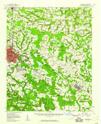 1957 Goldsboro1958 Print · USGSGoldsboro and the surrounding tobacco and timber lands are captured here in the mid-fifties as the local rail network and military presence shaped Wayne County. Genealogists can locate family landmarks like Old Smoky Cem, Garris Chapel, and Mays Store across the rural landscape.2 unique versions available
 - 1983 Map of Northeast Goldsboro
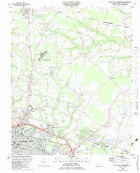 1983 Northeast Goldsboro1983 Print · USGSGoldsboro and its northeastern suburbs are caught in a moment of rapid growth during the early eighties. Genealogists and historians can trace the foundations of Wayne Community College and Wayne Co Mem Hospital, or locate rural landmarks like Musgrave Crossroads and the Pikeville Cem.
 - 1985 Map of Kinston
 1985 Kinston1985 Print · USGSCoastal plain life and Cold War infrastructure meet in the mid-eighties as the Neuse River winds through agricultural heartlands. Researchers can locate family landmarks like Falling Creek Cem, old milling sites such as Tulls Mill, and the massive Voice of America Radio Towers.2 unique versions available
 - 1998 Map of Northeast Goldsboro, 2001 Print
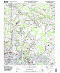 1998 Northeast Goldsboro2001 Print · USGSWayne County saw steady suburban growth in the late nineties as the residential and institutional reach of Goldsboro moved north. Genealogists can trace local roots through landmarks like Pikeville Cem, Parker Chapel, and the historic crossroads at Patetown.
 - 2010 Map of Northeast Goldsboro, 2010 Print
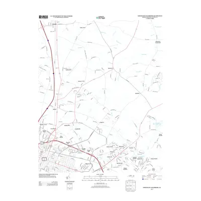
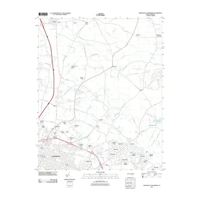 2010 Northeast Goldsboro2010 Print · USGSCovers Central Heights, including Goldsboro, Pikeville, and other nearby areas
 - 2013 Map of Northeast Goldsboro, 2013 Print
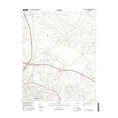
 2013 Northeast Goldsboro2013 Print · USGSCovers Central Heights, including Goldsboro, Pikeville, and other nearby areas
 - 2016 Map of Northeast Goldsboro, 2016 Print
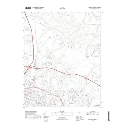
 2016 Northeast Goldsboro2016 Print · USGSCovers Central Heights, including Goldsboro, Pikeville, and other nearby areas
 - 2019 Map of Northeast Goldsboro, 2019 Print
 2019 Northeast Goldsboro2019 Print · USGSCovers Central Heights, including Goldsboro, Pikeville, and other nearby areas
 - 2022 Map of Northeast Goldsboro, 2022 Print
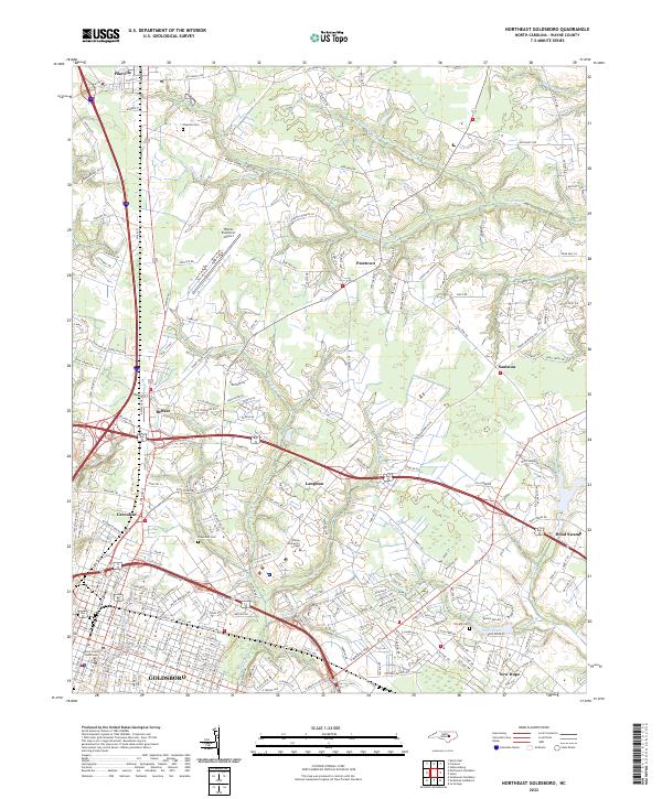 2022 Northeast Goldsboro2022 Print · USGSWayne County’s northern edge comes into focus during the early 2020s, revealing a landscape of historic crossroads and shifting rural boundaries. Researchers can trace family sites near Pikeville Cem or follow the paths of Stoney Cr and The Slough.
End of results
Showing maps 1-11 of 11
Top cities near Central Heights
- Goldsboro historical maps
- Mount Olive historical maps
- La Grange historical maps
- Snow Hill historical maps
- Fremont historical maps
- Kenly historical maps
See more
Frequently asked questions
- What are the different types of historical maps available for Central Heights?
- What is the oldest map of Central Heights?
- Where can I purchase historical maps of Central Heights for my home or office?
- Where can I download high-res historical maps of Central Heights?
- Are there historical topographic maps available for Central Heights?
- Is there historical aerial imagery available for Central Heights?
- Where are historical maps of Central Heights sourced from?