Old Maps of Dehart, North Carolina
Explore 12 old maps of Dehart, spanning from 1889 to today. These high-resolution historic maps reveal how streets, neighborhoods, landmarks, and natural features evolved over time — perfect for genealogy, metal detecting, research, and local history exploration.
What you can do with these maps:
- See how Dehart changed over time: Compare historical maps to modern-day views to trace roads, homesites, rail lines & more.
- View detailed metadata: Each map includes creators, publishers, year, scale, and archive source.
- Overlay maps with satellite & LiDAR: Visualize the past alongside modern tools to explore terrain & human change.
- Trusted historical sources: Maps sourced from the USGS, Library of Congress, and other archives.
- Access maps your way: View online, download high-res files, or order prints for personal or research use.
Start exploring old maps of Dehart to uncover forgotten places, hidden landmarks, and the deep history beneath your feet.
Dehart, NC maps
(12)- 1889 Map of Wilkesboro, 1960 Print
 1889 Wilkesboro1960 Print · USGSWilkes and Ashe counties are shown here in the late 1880s as the region's mountain economy relied on river fords and valley mills. Researchers can trace ancestral locations from Jefferson to Wilkesboro, including landmarks like Lomax Store and Dunkirk Ch.
 - 1891 Map of Wilkesboro, 1940 Print
 1891 Wilkesboro1940 Print · USGSThe foothills and high ridges of Northwest North Carolina are seen here in the late nineteenth century before modern highway development. Local historians can locate early post offices at Brown P.O., the mining area of Ore Knob, and ancestral landmarks like Dunkirk Ch. and Hall Mills.
 - 1953 Map of Winston-Salem, 1974 Print
 1953 Winston-Salem1974 Print · USGSThe North Carolina Piedmont and Virginia highlands meet in the mid-1950s, a landscape defined by the tobacco and textile hubs of the Blue Ridge foothills. Researchers can trace the rail-and-river geography connecting Winston-Salem to mountain towns like Mount Airy and Galax.2 unique versions available
 - 1955 Map of Winston-Salem
 1955 Winston-Salem1955 Print · USGSThe Central Blue Ridge and Piedmont transition are captured here in the mid-fifties, from the industrial hub of Winston-Salem to the high peaks of Southwest Virginia. Genealogists can trace family landmarks like Richmond Hill Ch, Siloam Ch, and the old rail stops along the Southern Railway.
 - 1962 Map of Winston-Salem
 1962 Winston-Salem1962 Print · USGSThe North Carolina Piedmont meets the Virginia highlands in the early sixties, showing the rail corridors and mountain gaps of the southern Appalachians. Researchers can trace the Blue Ridge Parkway or locate family sites near Winston-Salem, Mount Airy, and Hanging Rock Mountain.
 - 1968 Map of Mc Grady, 1971 Print
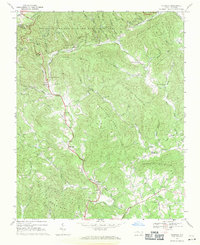 1968 Mc Grady1971 Print · USGSThe Blue Ridge foothills of Wilkes County come into focus during the late sixties, showing a landscape of steep ridges and creek-side settlements. Genealogists can trace family roots through numerous sites like Halls Mills, Rock Springs Ch, and the Cane Creek Ch Cem.2 unique versions available
 - 1985 Map of Boone, 1986 Print
 1985 Boone1986 Print · USGSThe High Country and Blue Ridge Mountains come into focus during the mid-eighties as Boone and its surrounding wilderness areas undergo modern expansion. Genealogists and historians can trace family-named ridges and landmarks near Appalachian State University, the Cranberry Mines, and Valle Crucis.2 unique versions available
 - 2010 Map of McGrady, 2010 Print
 2010 McGrady2010 Print · USGSWilkes County mountain communities are captured here in the early twenty-first century as they follow the winding paths of the Blue Ridge foothills. Researchers can locate family heritage sites like Roberts Cemetery and Taylor Cemetery or trace old routes through Bumgardner Gap.
 - 2013 Map of McGrady, 2013 Print
 2013 McGrady2013 Print · USGSWilkes County’s highland communities are captured here in the early twenty-first century as they follow the paths of the Mulberry Cr and W Prong Roaring River. Local historians can trace family-named landmarks like Dancy Mountain, Harrold Mountain, and the settlement of Halls Mills.
 - 2016 Map of McGrady, 2016 Print
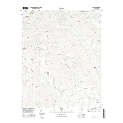 2016 McGrady2016 Print · USGSWilkes County mountain communities are captured here in the mid-2010s, showing the intricate network of ridges and valley roads near the Alleghany County line. Genealogists and local historians can locate family burial sites like Taylor Cemetery and Burke Cemetery or trace the early paths through Handy Gap and Bumgarner Gap.
 - 2019 Map of McGrady, 2019 Print
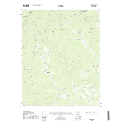 2019 McGrady2019 Print · USGSWilkes County life in the twenty-first century is captured here among the peaks and river headwaters of the Blue Ridge. Genealogists and local historians can trace family land and burial sites at Walnut Grove Baptist Church Cem, Roberts Cem, and McGrady.
 - 2022 Map of McGrady, 2022 Print
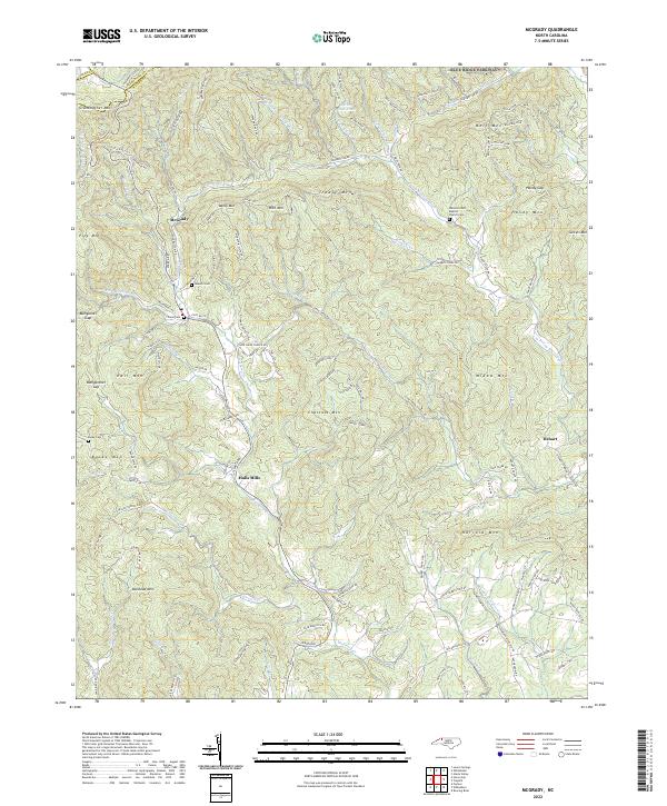 2022 McGrady2022 Print · USGSThe high country of Wilkes County is captured here in the early twenty-first century, showing the rugged headwaters of the Roaring River and Mulberry Creek. Genealogists can locate family burial sites like Taylor Cem and Burke Cem, or trace early mountain roads near McGrady and Halls Mills.
End of results
Showing maps 1-12 of 12
Top cities near Dehart
- North Wilkesboro historical maps
- Wilkesboro historical maps
- Sparta historical maps
- Ronda historical maps
Frequently asked questions
- What are the different types of historical maps available for Dehart?
- What is the oldest map of Dehart?
- Where can I purchase historical maps of Dehart for my home or office?
- Where can I download high-res historical maps of Dehart?
- Are there historical topographic maps available for Dehart?
- Is there historical aerial imagery available for Dehart?
- Where are historical maps of Dehart sourced from?