Old Maps of Price Creek, North Carolina for Hiking & Exploration
Hike through history with 16 historic maps of Price Creek. Explore old trails, ghost towns, and forgotten backroads — perfect for outdoor adventurers and local explorers.
- Rediscover forgotten places: Map out old mining camps, roads, and footpaths that no longer exist on modern maps.
- Layer with modern tools: Combine with LiDAR or satellite views to plan hikes through historical terrain.
- Made for exploration: Popular among hikers, overlanders, and local history lovers.
Use these maps to find adventure and explore the hidden past of Price Creek.
Price Creek, NC maps
(16)- 1900 Map of Mount Mitchell, 1963 Print
 1900 Mount Mitchell1963 Print · USGSWestern North Carolina at the turn of the century shows a landscape of high peaks and isolated river settlements before the arrival of modern highways. Genealogists and mountain historians can trace early homesteads along the Cane River or follow the Southern RR through Old Fort and Black Mountain.3 unique versions available
 - 1902 Map of Mount Mitchell, 1937 Print
 1902 Mount Mitchell1937 Print · USGSThe high peaks of Western North Carolina are captured here at the start of the twentieth century, showing the rail and river corridors that shaped the region. Trace early settlements like Burnsville, Montreat, and the winding Southern Railway.3 unique versions available
 - 1935 Map of Barnardsville
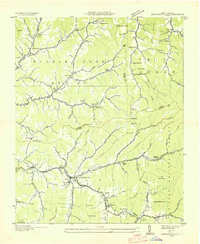 1935 Barnardsville1935 Print · USGSBarnardsville and the surrounding Blue Ridge foothills are captured in the mid-1930s before modern development altered these mountain hollows. Researchers can trace family roots through numerous burial sites like Whitaker Cem and locate vanished centers of community like Just PO and Sodom.
 - 1946 Map of Barnardsville, 1958 Print
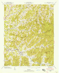 1946 Barnardsville1958 Print · USGSBarnardsville and the surrounding Blue Ridge coves are captured here in the mid-1940s as the Pisgah National Forest boundary meets local farmland. Researchers can trace ancestral locations at Dillingham Cem, find the old Indian Creek Sch, or locate the FFA Camp along the mountain creeks.4 unique versions available
 - 1947 Map of Barnardsville
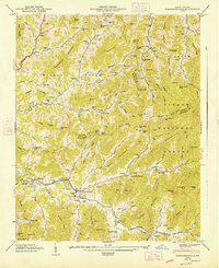 1947 Barnardsville1947 Print · USGSThe mountains of Buncombe and Madison counties are captured here in the mid-1940s. Genealogists can trace family roots through numerous sites like Dillingham Cem, Indian Creek Sch, and the community of Democrat.2 unique versions available
 - 1955 Map of Knoxville
 1955 Knoxville1955 Print · USGSThe Southern Appalachians and the Smoky Mountains are shown here at a peak of mid-century development and conservation. Genealogists and historians can trace the early road networks connecting Gatlinburg, Waynesville, and the Cherokee Indian Reservation across the high ridges.
 - 1957 Map of Knoxville, 1966 Print
 1957 Knoxville1966 Print · USGSThe Southern Appalachians of Tennessee and North Carolina are mapped here during the mid-twentieth century as new highways reached the high country. Genealogists and historians can trace the topography between Knoxville and Asheville, locating family landmarks near Fontana Lake or along the Blue Ridge Parkway.4 unique versions available
 - 1960 Map of Knoxville
 1960 Knoxville1960 Print · USGSThe Southern Appalachians come alive in the 1950s, showing the intersection of new national park tourism and deep-rooted mountain industry. Trace old rail lines like the Clinchfield RR and find high-altitude landmarks from Mt Le Conte to the Cherokee Indian Reservation.2 unique versions available
 - 1964 Map of Knoxville
 1964 Knoxville1964 Print · USGSThe Southern Appalachians and Great Smokies are captured here during the mid-sixties, showing the rugged borderlands of Tennessee and North Carolina. Researchers can trace historic mountain routes like U S 441, the expanse of Pisgah National Forest, and the growing footprints of Asheville and Knoxville.
 - 1985 Map of Asheville
 1985 Asheville1985 Print · USGSWestern North Carolina during the mid-eighties shows a region of deep mountain heritage and expanding highway networks. Genealogists and historians can trace the foundations of Asheville alongside older rail corridors like the Clinchfield Railroad and the high elevations of Mount Mitchell.2 unique versions available
 - 1998 Map of Barnardsville, 2001 Print
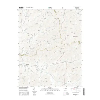
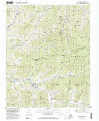 1998 Barnardsville2001 Print · USGSBarnardsville and the surrounding Blue Ridge hollows are shown here at the turn of the 21st century. Genealogists can locate family names at Big Ivy Cem or Whitaker Cem and trace the old settlements of Dillingham and Democrat.
 - 2011 Map of Barnardsville, 2011 Print
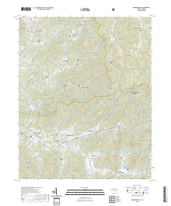
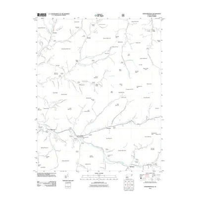 2011 Barnardsville2011 Print · USGSCovers Price Creek, including Barnardsville, Rockview, and other nearby areas
 - 2013 Map of Barnardsville, 2013 Print
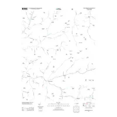 2013 Barnardsville2013 Print · USGSCovers Price Creek, including Barnardsville, Rockview, and other nearby areas
 - 2016 Map of Barnardsville, 2016 Print
 2016 Barnardsville2016 Print · USGSCovers Price Creek, including Barnardsville, Rockview, and other nearby areas
 - 2019 Map of Barnardsville, 2019 Print
 2019 Barnardsville2019 Print · USGSCovers Price Creek, including Barnardsville, Rockview, and other nearby areas
 - 2022 Map of Barnardsville, 2022 Print
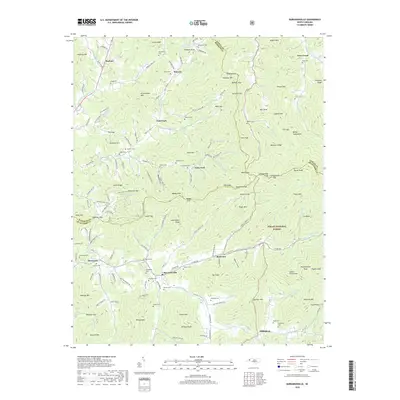
 2022 Barnardsville2022 Print · USGSBarnardsville and the surrounding peaks of the Pisgah National Forest are shown in detail as they appeared in the early twenty-first century. Genealogists can trace family heritage through numerous hillside burial grounds, including the Thomas S Dillingham Cem, Big Ivy Cem, and Marshbanks Cem.
End of results
Showing maps 1-16 of 16
Top cities near Price Creek
- Asheville historical maps
- Woodfin historical maps
- Weaverville historical maps
- Mars Hill historical maps
- Burnsville historical maps
- Old Fort historical maps
See more
Frequently asked questions
- What are the different types of historical maps available for Price Creek?
- What is the oldest map of Price Creek?
- Where can I purchase historical maps of Price Creek for my home or office?
- Where can I download high-res historical maps of Price Creek?
- Are there historical topographic maps available for Price Creek?
- Is there historical aerial imagery available for Price Creek?
- Where are historical maps of Price Creek sourced from?