Old Maps of Shell Valley Township, North Dakota
Explore 29 old maps of Shell Valley Township, spanning from 1936 to today. These high-resolution historic maps reveal how streets, neighborhoods, landmarks, and natural features evolved over time — perfect for genealogy, metal detecting, research, and local history exploration.
What you can do with these maps:
- See how Shell Valley Township changed over time: Compare historical maps to modern-day views to trace roads, homesites, rail lines & more.
- View detailed metadata: Each map includes creators, publishers, year, scale, and archive source.
- Overlay maps with satellite & LiDAR: Visualize the past alongside modern tools to explore terrain & human change.
- Trusted historical sources: Maps sourced from the USGS, Library of Congress, and other archives.
- Access maps your way: View online, download high-res files, or order prints for personal or research use.
Start exploring old maps of Shell Valley Township to uncover forgotten places, hidden landmarks, and the deep history beneath your feet.
Shell Valley Township, ND maps
(29)- 1936 Map of Lake Upsilon
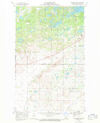
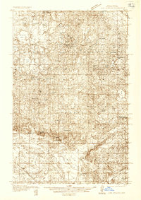 1936 Lake Upsilon1936 Print · USGSThe Turtle Mountain region near the Canadian border is captured here in the mid-1930s, showing a landscape of scattered rural schools and deep glacial lakes. Researchers can locate early family-named landmarks like Shell Valley Sch, St Johns Ch, and the Belcourt Indian Agency.
 - 1942 Map of Lake Upsilon
 1942 Lake Upsilon1942 Print · USGSThe North Dakota borderlands and the Turtle Mountain Indian Reservation are captured here in the late 1930s. Genealogists and local historians can locate early landmarks like Belcourt Indian Agency, Lakeview Cem, and several parish churches.
 - 1953 Map of Devils Lake, 1968 Print
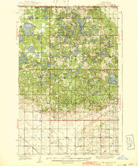
 1953 Devils Lake1968 Print · USGSNorth Dakota's northern plains are captured here in the mid-fifties, showing a landscape of rail-fed grain elevators and prairie wetlands. Genealogists can locate family landmarks like Rose Hill School, Hurricane Lake Church, and the Turtle Mountain Indian Reservation.3 unique versions available
 - 1955 Map of Thorne, 1956 Print
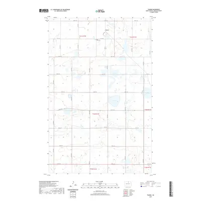
 1955 Thorne1956 Print · USGSMid-century Rolette County comes into focus through this survey of the northern prairie and its vital rail corridors. Researchers can trace the dual rail lines serving Thorne or locate local landmarks like St Edward Cem and the waters of Girl Lake.
 - 1955 Map of Lake Upsilon SW, 1957 Print
 1955 Lake Upsilon SW1957 Print · USGSThe Turtle Mountain plateau meets the North Dakota prairie in the mid-1950s, documenting the cultural landscape of the Rolette County borderlands. Genealogists and local historians can locate early landmarks like St Michael Ch, Lakeview Cem, and schoolhouses including Pigeon Sch.
 - 1956 Map of Devils Lake
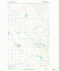
 1956 Devils Lake1956 Print · USGSNorthern North Dakota is shown at a mid-century peak of rail-driven agriculture, where the Soo Line and Great Northern railroads cross the prairie. Trace the borders of the Turtle Mountain Indian Reservation and locate local landmarks like Rose Hill School or Camp Grafton.
 - 1968 Map of Lake Upsilon SE
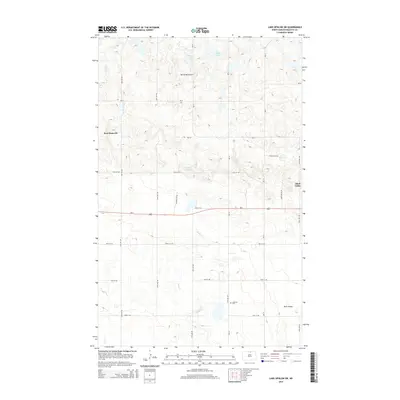
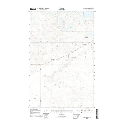
 1968 Lake Upsilon SE1968 Print · USGSThe Turtle Mountain region of North Dakota is captured here in the late sixties, showcasing the intersection of tribal lands and local prairie life. Researchers can locate St Anns Indian Mission and Maryville, or trace water patterns from Belcourt Lake through Shell Valley.
 - 1971 Map of Rolette, 1973 Print
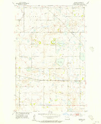
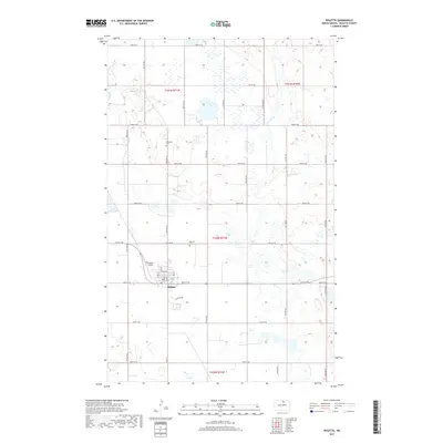
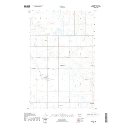
 1971 Rolette1973 Print · USGSNorth Dakota's prairie landscape is centered on the railroad crossing at Rolette during the early 1970s. Trace the intersection of the Soo Line and Burlington Northern alongside landmarks like Rolette Cemetery and Wolf Creek.
 - 1985 Map of Rock Lake, 1986 Print
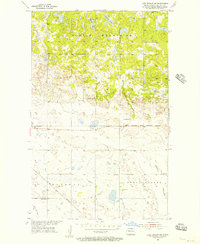
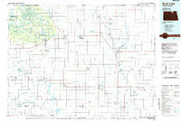 1985 Rock Lake1986 Print · USGSThe North Dakota borderlands and the forested heights of the Turtle Mountains are documented here in the mid-eighties. Genealogists and historians can trace the rail lines of the Soo Line through prairie towns like Bisbee, Rolette, and Rolla.2 unique versions available
 - 2011 Map of Rolette, 2011 Print
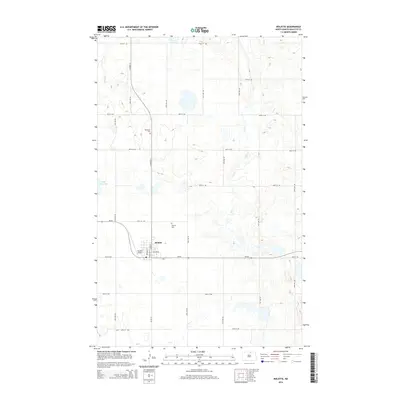
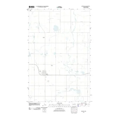 2011 Rolette2011 Print · USGSCovers Shell Valley Township, including Rolette, Maryville Township, and other nearby areas
 - 2011 Map of Lake Upsilon SE, 2011 Print
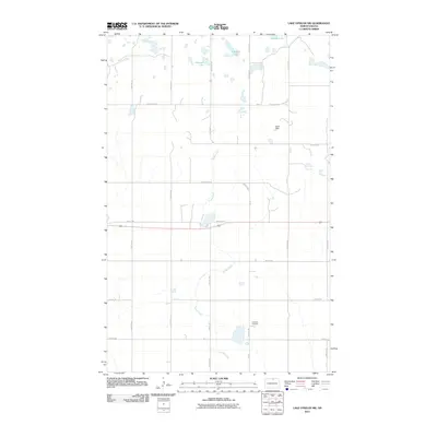
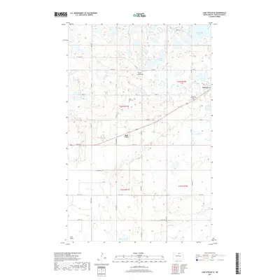
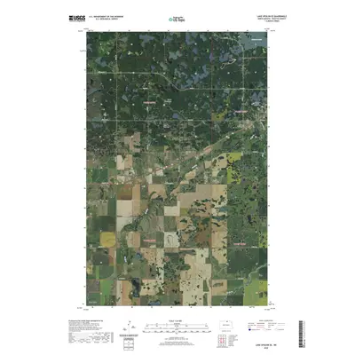
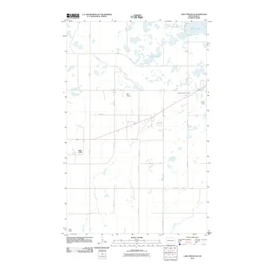 2011 Lake Upsilon SE2011 Print · USGSCovers Shell Valley Township, including Belcourt, Shell Valley, and other nearby areas
 - 2011 Map of Thorne, 2011 Print
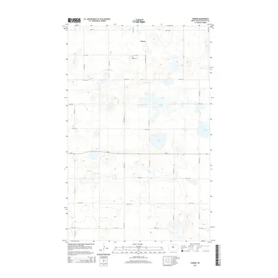
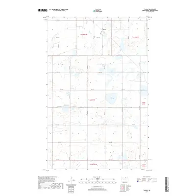
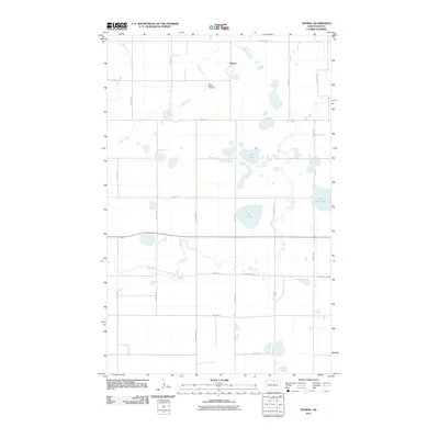 2011 Thorne2011 Print · USGSCovers Shell Valley Township, including Thorne, Rolette County, and other nearby areas
 - 2011 Map of Lake Upsilon SW, 2011 Print
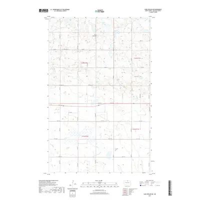
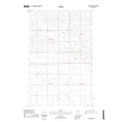
 2011 Lake Upsilon SW2011 Print · USGSCovers Shell Valley Township, including Shell Valley, Rolette County, and other nearby areas
 - 2014 Map of Rolette, 2014 Print
 2014 Rolette2014 Print · USGSCovers Shell Valley Township, including Rolette, Maryville Township, and other nearby areas
 - 2014 Map of Lake Upsilon SW, 2014 Print
 2014 Lake Upsilon SW2014 Print · USGSCovers Shell Valley Township, including Shell Valley, Rolette County, and other nearby areas
 - 2014 Map of Lake Upsilon SE, 2014 Print
 2014 Lake Upsilon SE2014 Print · USGSCovers Shell Valley Township, including Belcourt, Shell Valley, and other nearby areas
 - 2014 Map of Thorne, 2014 Print
 2014 Thorne2014 Print · USGSCovers Shell Valley Township, including Thorne, Rolette County, and other nearby areas
 - 2017 Map of Rolette, 2017 Print
 2017 Rolette2017 Print · USGSCovers Shell Valley Township, including Rolette, Maryville Township, and other nearby areas
 - 2017 Map of Thorne, 2017 Print
 2017 Thorne2017 Print · USGSCovers Shell Valley Township, including Thorne, Rolette County, and other nearby areas
 - 2017 Map of Lake Upsilon SW, 2017 Print
 2017 Lake Upsilon SW2017 Print · USGSCovers Shell Valley Township, including Shell Valley, Rolette County, and other nearby areas
 - 2017 Map of Lake Upsilon SE, 2017 Print
 2017 Lake Upsilon SE2017 Print · USGSCovers Shell Valley Township, including Belcourt, Shell Valley, and other nearby areas
 - 2020 Map of Lake Upsilon SW, 2020 Print
 2020 Lake Upsilon SW2020 Print · USGSCovers Shell Valley Township, including Shell Valley, Rolette County, and other nearby areas
 - 2020 Map of Rolette, 2020 Print
 2020 Rolette2020 Print · USGSCovers Shell Valley Township, including Rolette, Maryville Township, and other nearby areas
 - 2020 Map of Thorne, 2020 Print
 2020 Thorne2020 Print · USGSCovers Shell Valley Township, including Thorne, Rolette County, and other nearby areas
 - 2020 Map of Lake Upsilon SE, 2020 Print
 2020 Lake Upsilon SE2020 Print · USGSCovers Shell Valley Township, including Belcourt, Shell Valley, and other nearby areas
Showing maps 1-25 of 29
Top cities near Shell Valley Township
- Belcourt historical maps
- Rolla historical maps
- Dunseith historical maps
- Rolette historical maps
- Shell Valley historical maps
Top neighborhoods of Shell Valley Township
Frequently asked questions
- What are the different types of historical maps available for Shell Valley Township?
- What is the oldest map of Shell Valley Township?
- Where can I purchase historical maps of Shell Valley Township for my home or office?
- Where can I download high-res historical maps of Shell Valley Township?
- Are there historical topographic maps available for Shell Valley Township?
- Is there historical aerial imagery available for Shell Valley Township?
- Where are historical maps of Shell Valley Township sourced from?