Old Maps of Newton Township, Ohio
Explore 28 old maps of Newton Township, spanning from 1909 to today. These high-resolution historic maps reveal how streets, neighborhoods, landmarks, and natural features evolved over time — perfect for genealogy, metal detecting, research, and local history exploration.
What you can do with these maps:
- See how Newton Township changed over time: Compare historical maps to modern-day views to trace roads, homesites, rail lines & more.
- View detailed metadata: Each map includes creators, publishers, year, scale, and archive source.
- Overlay maps with satellite & LiDAR: Visualize the past alongside modern tools to explore terrain & human change.
- Trusted historical sources: Maps sourced from the USGS, Library of Congress, and other archives.
- Access maps your way: View online, download high-res files, or order prints for personal or research use.
Start exploring old maps of Newton Township to uncover forgotten places, hidden landmarks, and the deep history beneath your feet.
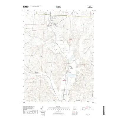
Newton Township, OH maps
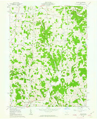
(28)- 1909 Map of Newark, 1937 Print
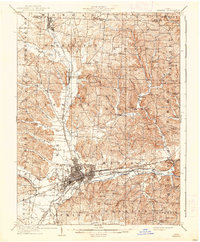 1909 Newark1937 Print · USGSLicking County at the turn of the century shows a bustling rail hub at the meeting of the forks of the Licking River. Genealogists and researchers can trace family roots through numerous country schools like Poodle School and rural parishes including Newton Chapel.2 unique versions available
 - 1950 Map of Marion
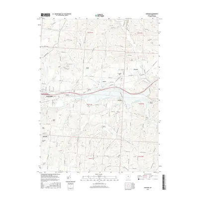
 1950 Marion1950 Print · USGSCentral Ohio was a powerhouse of rail and river industry at the mid-century point, serving as a vital corridor between the Great Lakes and the Ohio River valley. Genealogists and rail historians can trace the paths of the Erie RR and Nickel Plate Road through towns like Bucyrus, Galion, and Upper Sandusky.
 - 1961 Map of Hanover, 1962 Print
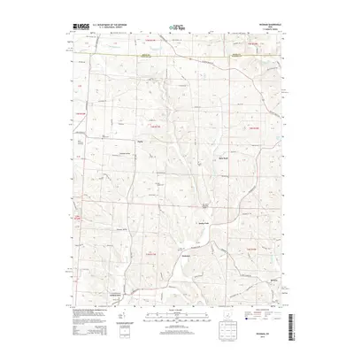
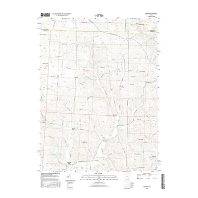
 1961 Hanover1962 Print · USGSLicking County’s river valleys were entering a new era in the early sixties as the Dillon Reservoir transformed the local landscape. Researchers can trace the paths of the Pennsylvania Railroad and locate rural landmarks like Hazel Dell Ch and Claylick.5 unique versions available
 - 1961 Map of Newark, 1962 Print
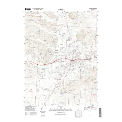
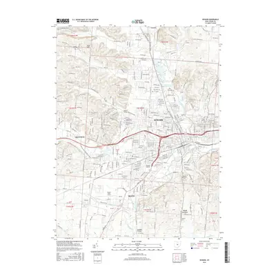
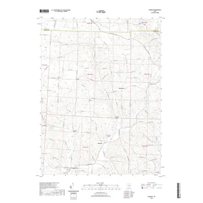
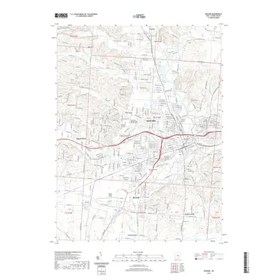
 1961 Newark1962 Print · USGSNewark and the Licking River forks are shown here in the early 1960s as the region's industrial base and suburban footprint expanded. Researchers can trace historic earthworks at the Octagon State Memorial, family plots in Cedar Hill Cemetery, and the local rail network of the B & O.5 unique versions available
 - 1961 Map of Utica, 1962 Print
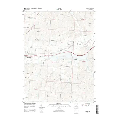
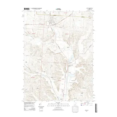
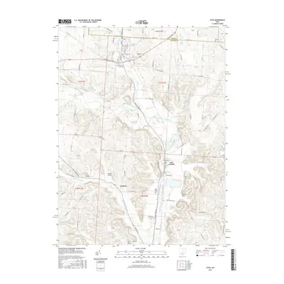
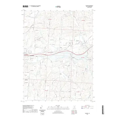
 1961 Utica1962 Print · USGSThe Licking and Knox county line comes alive in the early sixties, showing a landscape defined by the North Fork and the railroad. Genealogists can trace family roots at Bell Ch Cem or Maple Cem, while researchers can locate the old Township Sch and Chatham settlement.3 unique versions available
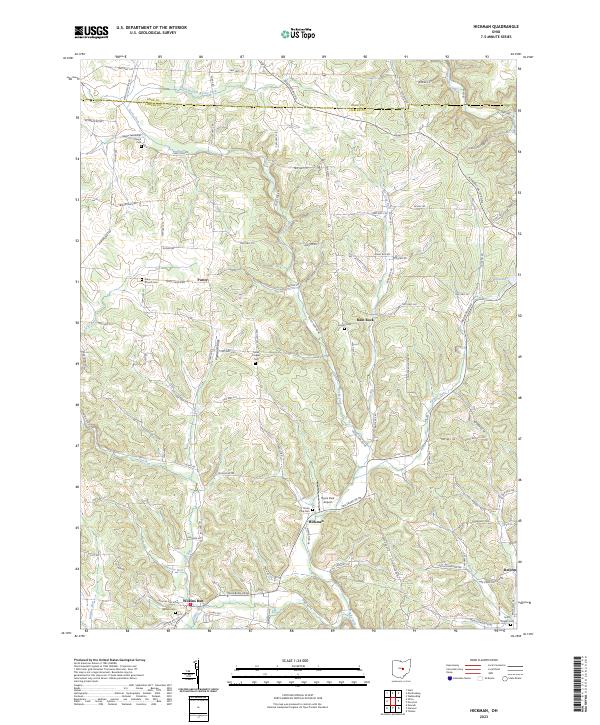
 - 1961 Map of Hickman, 1963 Print
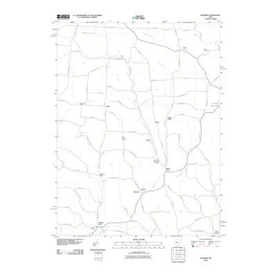
 1961 Hickman1963 Print · USGSLicking and Knox counties come alive in the early sixties as a network of oil and gas fields spreads across the landscape. You can trace family roots through Hickman and Purity, or locate rural landmarks like Burrell Chapel and the Covered Bridge over Rocky Fork.4 unique versions available
 - 1962 Map of Marion
 1962 Marion1962 Print · USGSCentral Ohio during the post-war era showcases a dense network of railroad towns and emerging interstate highways. Genealogists can trace family roots in smaller settlements like Houcktown and Marseilles or locate landmarks near Indian Lake.
 - 1966 Map of Marion, 1968 Print
 1966 Marion1968 Print · USGSCentral Ohio in the mid-sixties is captured during a period of rapid highway expansion and industrial connectivity. Genealogists and historians can trace rail-and-river networks through towns like Marion, Urbana, and Mount Vernon, or locate landmarks such as Malabar Farm and Black Hand Rock.3 unique versions available
 - 2010 Map of Hanover, 2010 Print
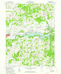
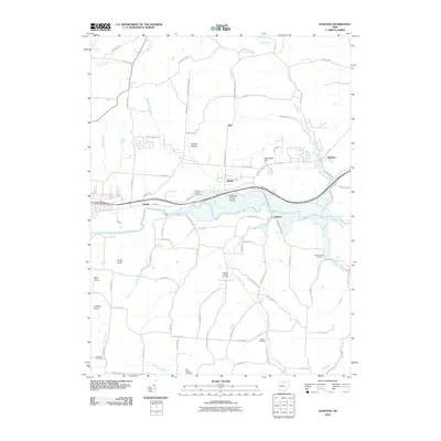 2010 Hanover2010 Print · USGSCovers Newton Township, including Newark, Heath, and other nearby areas
 - 2010 Map of Utica, 2010 Print
 2010 Utica2010 Print · USGSCovers Newton Township, including Newark, Utica, and other nearby areas
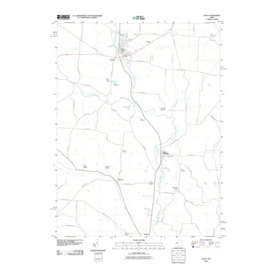
 - 2010 Map of Newark, 2010 Print
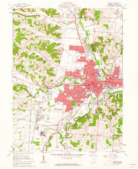
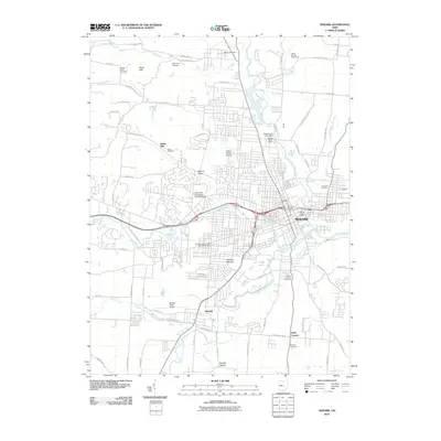 2010 Newark2010 Print · USGSCovers Newton Township, including Newark, Heath, and other nearby areas
 - 2010 Map of Hickman, 2010 Print
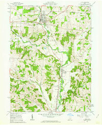
 2010 Hickman2010 Print · USGSCovers Newton Township, including Rocky Fork, Rain Rock, and other nearby areas
 - 2013 Map of Hanover, 2013 Print
 2013 Hanover2013 Print · USGSCovers Newton Township, including Newark, Heath, and other nearby areas
 - 2013 Map of Newark, 2013 Print
 2013 Newark2013 Print · USGSCovers Newton Township, including Newark, Heath, and other nearby areas
 - 2013 Map of Hickman, 2013 Print
 2013 Hickman2013 Print · USGSCovers Newton Township, including Rocky Fork, Rain Rock, and other nearby areas
 - 2013 Map of Utica, 2013 Print
 2013 Utica2013 Print · USGSCovers Newton Township, including Newark, Utica, and other nearby areas
 - 2016 Map of Hanover, 2016 Print
 2016 Hanover2016 Print · USGSCovers Newton Township, including Newark, Heath, and other nearby areas
 - 2016 Map of Newark, 2016 Print
 2016 Newark2016 Print · USGSCovers Newton Township, including Newark, Heath, and other nearby areas
 - 2016 Map of Utica, 2016 Print
 2016 Utica2016 Print · USGSCovers Newton Township, including Newark, Utica, and other nearby areas
 - 2016 Map of Hickman, 2016 Print
 2016 Hickman2016 Print · USGSCovers Newton Township, including Rocky Fork, Rain Rock, and other nearby areas
 - 2019 Map of Hickman, 2019 Print
 2019 Hickman2019 Print · USGSCovers Newton Township, including Rocky Fork, Rain Rock, and other nearby areas
 - 2019 Map of Newark, 2019 Print
 2019 Newark2019 Print · USGSCovers Newton Township, including Newark, Heath, and other nearby areas
 - 2019 Map of Hanover, 2019 Print
 2019 Hanover2019 Print · USGSCovers Newton Township, including Newark, Heath, and other nearby areas
 - 2019 Map of Utica, 2019 Print
 2019 Utica2019 Print · USGSCovers Newton Township, including Newark, Utica, and other nearby areas
 - 2023 Map of Hickman, 2023 Print
 2023 Hickman2023 Print · USGSEastern Licking County appears as a quiet landscape of agricultural valleys and stream-fed hollows in this contemporary survey. Genealogists can trace family names and local history through Miles Chapel Cem, the settlement of Purity, and the rural Smith Chapel Cem.
Showing maps 1-25 of 28
Top cities near Newton Township
- Newark historical maps
- Mount Vernon historical maps
- Pataskala historical maps
- Heath historical maps
- Granville historical maps
- Hebron historical maps
See more
Top neighborhoods of Newton Township
Frequently asked questions
- What are the different types of historical maps available for Newton Township?
- What is the oldest map of Newton Township?
- Where can I purchase historical maps of Newton Township for my home or office?
- Where can I download high-res historical maps of Newton Township?
- Are there historical topographic maps available for Newton Township?
- Is there historical aerial imagery available for Newton Township?
- Where are historical maps of Newton Township sourced from?