Old Maps of LaGrange, Ohio
Explore 33 old maps of LaGrange, spanning from 1901 to today. These high-resolution historic maps reveal how streets, neighborhoods, landmarks, and natural features evolved over time — perfect for genealogy, metal detecting, research, and local history exploration.
What you can do with these maps:
- See how LaGrange changed over time: Compare historical maps to modern-day views to trace roads, homesites, rail lines & more.
- View detailed metadata: Each map includes creators, publishers, year, scale, and archive source.
- Overlay maps with satellite & LiDAR: Visualize the past alongside modern tools to explore terrain & human change.
- Trusted historical sources: Maps sourced from the USGS, Library of Congress, and other archives.
- Access maps your way: View online, download high-res files, or order prints for personal or research use.
Start exploring old maps of LaGrange to uncover forgotten places, hidden landmarks, and the deep history beneath your feet.
LaGrange, OH maps
(33)- 1901 Map of Oberlin, 1952 Print
 1901 Oberlin1952 Print · USGSLorain County at the turn of the century shows a bustling corridor of electric interurbans and industrial sandstone quarries. Researchers can trace early railroad junctions at Elyria and Grafton, or locate lakeside settlements like Beach Park and Lake Breeze.3 unique versions available
 - 1903 Map of Oberlin, 1943 Print
 1903 Oberlin1943 Print · USGSLorain County at the turn of the century is a hub of industrial growth and rail transit between the Lake Erie shore and the interior. Trace the complex web of electric lines and steam railroads connecting Lorain, Elyria, and Oberlin, or locate old stone Quarry sites near North Amherst and Grafton.
 - 1904 Map of Wellington, 1958 Print
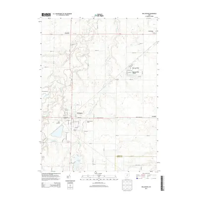
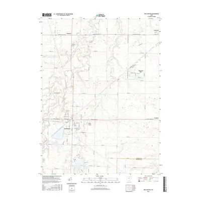
 1904 Wellington1958 Print · USGSNorth-central Ohio at the turn of the century is a network of growing rail towns and agricultural townships. Genealogists can trace family roots through settlements like Wellington, Homerville, and Lodi, while following the paths of the Wheeling and Lake Erie RR and Salt Creek.
 - 1906 Map of Wellington, 1942 Print
 1906 Wellington1942 Print · USGSNorth-central Ohio at the opening of the twentieth century was a landscape of thriving rail-junction towns and fertile creek bottoms. Genealogists and historians can trace the early footprints of Wellington, Sullivan, and Lodi as they were connected by the Baltimore and Ohio and several electric rail lines.
 - 1953 Map of Grafton, 1955 Print
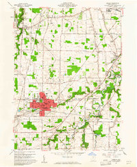
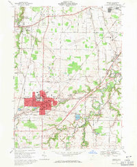
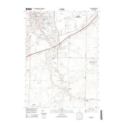
 1953 Grafton1955 Print · USGSMid-century Lorain County reveals a landscape shaped by glacial ridges and the growing suburbs of Elyria. Genealogists can locate family sites near Butternut Ridge Cem or trace rural landmarks like the Grafton State Farm and the WEOL Radio Towers.
 - 1956 Map of Toledo, 1968 Print
 1956 Toledo1968 Print · USGSNorthwest Ohio and the Lake Erie shoreline are shown in detail during the late fifties, showcasing a landscape of heavy industry, railroads, and island communities. Genealogists and historians can trace rail networks like the Chesapeake & Ohio RR or locate landmarks such as the Erie Proving Ground and Kelleys Island.4 unique versions available
 - 1960 Map of Oberlin, 1961 Print
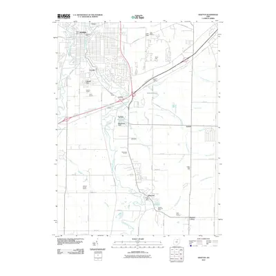
 1960 Oberlin1961 Print · USGSThe educational hub of Oberlin and the quarries of South Amherst are captured here in the early sixties. Genealogists and local historians can trace family plots in Westwood Cemetery or locate landmarks like the Wellhead Airport and Sacred Heart Ch.
 - 1960 Map of Wellington, 1961 Print
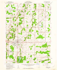 1960 Wellington1961 Print · USGSWellington stood as a vital rail hub in the early sixties, where the intersection of major lines defined the local economy. Researchers can trace the legacy of the Connecticut Western Reserve through landmarks like Greenwood Cem, Westwood Sch, and the grounds of Findley State Park.3 unique versions available
 - 1960 Map of Lagrange, 1963 Print
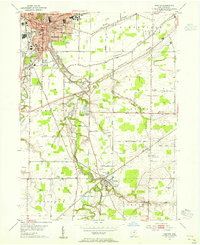
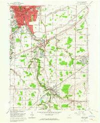
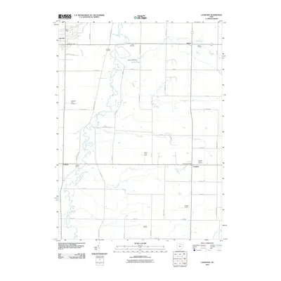
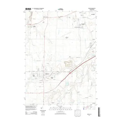
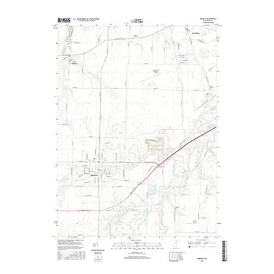
 1960 Lagrange1963 Print · USGSSouthern Lorain County was a landscape of rail crossings and oil derricks in the early sixties. Researchers can trace family history at Knowles Cem, locate the Preston Oil Field, and follow the New York Central through Lagrange.2 unique versions available
 - 1961 Map of Toledo
 1961 Toledo1961 Print · USGSThe western basin of Lake Erie and the industrial heart of Northern Ohio are captured here during the post-war era. Researchers can trace historical rail lines like the New York Central or locate landmarks like the Erie Ordnance Depot and Pelee Island.
 - 1963 Map of Grafton, 1964 Print
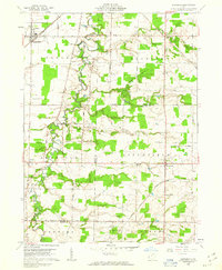
 1963 Grafton1964 Print · USGSLorain County shows a blend of industrial growth and rural character in the early sixties as suburban neighborhoods began to expand. Genealogists can locate family sites near Ridgelawn Cem or trace the early development of Brentwood Lake and Eaton Estates.4 unique versions available
 - 1969 Map of Oberlin, 1971 Print
 1969 Oberlin1971 Print · USGSCentral Lorain County in the late sixties shows a maturing landscape of academic life and industrial growth. Genealogists and historians can trace family locations through several burial grounds like Westwood Cemetery or locate landmarks like Oberlin College and the County Speedway.2 unique versions available
 - 1986 Map of Lorain
 1986 Lorain1986 Print · USGSThe Lake Erie shoreline and North Central Ohio interior are shown in detail during the mid-eighties, from the industrial docks of Lorain to the peninsulas of Sandusky. Researchers can trace historic transport routes like the Baltimore and Ohio Railroad or locate significant landmarks like Oberlin College and Cedar Point.2 unique versions available
 - 2010 Map of Wellington, 2010 Print
 2010 Wellington2010 Print · USGSCovers LaGrange, including Wellington, Pittsfield, and other nearby areas
 - 2010 Map of Oberlin, 2010 Print
 2010 Oberlin2010 Print · USGSCovers LaGrange, including Elyria, Oberlin, and other nearby areas
 - 2010 Map of Lagrange, 2010 Print
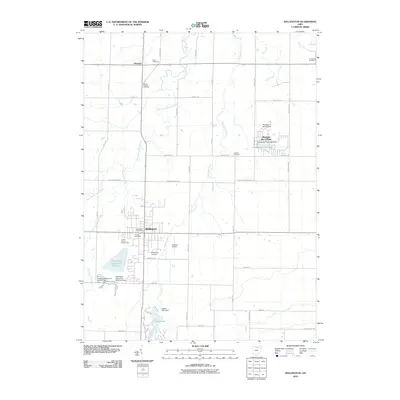
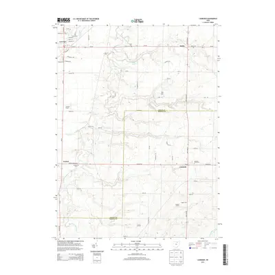
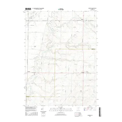
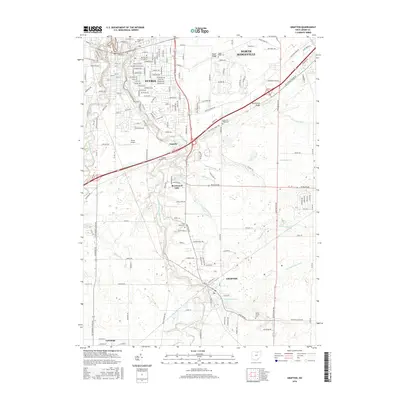
 2010 Lagrange2010 Print · USGSCovers LaGrange, including Litchfield, Penfield, and other nearby areas
 - 2010 Map of Grafton, 2010 Print
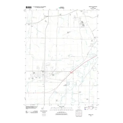
 2010 Grafton2010 Print · USGSCovers LaGrange, including Elyria, North Ridgeville, and other nearby areas
 - 2013 Map of Lagrange, 2013 Print
 2013 Lagrange2013 Print · USGSCovers LaGrange, including Litchfield, Penfield, and other nearby areas
 - 2013 Map of Wellington, 2013 Print
 2013 Wellington2013 Print · USGSCovers LaGrange, including Wellington, Pittsfield, and other nearby areas
 - 2013 Map of Oberlin, 2013 Print
 2013 Oberlin2013 Print · USGSCovers LaGrange, including Elyria, Oberlin, and other nearby areas
 - 2013 Map of Grafton, 2013 Print
 2013 Grafton2013 Print · USGSCovers LaGrange, including Elyria, North Ridgeville, and other nearby areas
 - 2016 Map of Wellington, 2016 Print
 2016 Wellington2016 Print · USGSCovers LaGrange, including Wellington, Pittsfield, and other nearby areas
 - 2016 Map of Lagrange, 2016 Print
 2016 Lagrange2016 Print · USGSCovers LaGrange, including Litchfield, Penfield, and other nearby areas
 - 2016 Map of Oberlin, 2016 Print
 2016 Oberlin2016 Print · USGSCovers LaGrange, including Elyria, Oberlin, and other nearby areas
 - 2016 Map of Grafton, 2016 Print
 2016 Grafton2016 Print · USGSCovers LaGrange, including Elyria, North Ridgeville, and other nearby areas
Showing maps 1-25 of 33
Top cities near LaGrange
- Lorain historical maps
- Elyria historical maps
- North Ridgeville historical maps
- Westlake historical maps
- North Olmsted historical maps
- Medina historical maps
See more
Frequently asked questions
- What are the different types of historical maps available for LaGrange?
- What is the oldest map of LaGrange?
- Where can I purchase historical maps of LaGrange for my home or office?
- Where can I download high-res historical maps of LaGrange?
- Are there historical topographic maps available for LaGrange?
- Is there historical aerial imagery available for LaGrange?
- Where are historical maps of LaGrange sourced from?