Old Maps of Coldwater, Ohio
Explore 16 old maps of Coldwater, spanning from 1908 to today. These high-resolution historic maps reveal how streets, neighborhoods, landmarks, and natural features evolved over time — perfect for genealogy, metal detecting, research, and local history exploration.
What you can do with these maps:
- See how Coldwater changed over time: Compare historical maps to modern-day views to trace roads, homesites, rail lines & more.
- View detailed metadata: Each map includes creators, publishers, year, scale, and archive source.
- Overlay maps with satellite & LiDAR: Visualize the past alongside modern tools to explore terrain & human change.
- Trusted historical sources: Maps sourced from the USGS, Library of Congress, and other archives.
- Access maps your way: View online, download high-res files, or order prints for personal or research use.
Start exploring old maps of Coldwater to uncover forgotten places, hidden landmarks, and the deep history beneath your feet.
Coldwater, OH maps
(16)- 1908 Map of St. Henry, 1944 Print
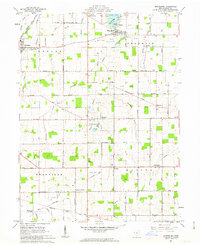
 1908 St. Henry1944 Print · USGSMercer and Darke counties at the start of the twentieth century show a landscape defined by rail-side commerce and early drainage engineering. Genealogists can trace family roots in settlements like St Henry, Burkettsville, and Coldwater, or locate landmarks such as Goulder School and Gilbert Sta.
 - 1953 Map of Muncie, 1966 Print
 1953 Muncie1966 Print · USGSIndiana and Ohio borderlands thrive in the early fifties, showing a landscape defined by manufacturing cities and an intensive railroad network. Genealogists can trace family roots across the Indiana-Ohio line through Muncie, Celina, and Portland via the Pennsylvania railroad.5 unique versions available
 - 1956 Map of Muncie
 1956 Muncie1956 Print · USGSEastern Indiana and western Ohio are shown at a peak of rail-driven industry in the mid-fifties. Genealogists and rail historians can trace the paths of the Pennsylvania RR through Muncie or locate landmarks like Lake Saint Marys (Grand Lake Reservoir) and Frances Slocum State Forest.
 - 1961 Map of Montezuma, 1963 Print
 1961 Montezuma1963 Print · USGSMercer County's rural townships and lakeside settlements are captured here in the early sixties, showing a landscape shaped by parish life and the oil-and-gas industry. Trace local genealogy and landmarks like St Charles Seminary, Cranberry Prairie, and the St Elizabeth Cem.3 unique versions available
 - 1961 Map of Coldwater, 1963 Print
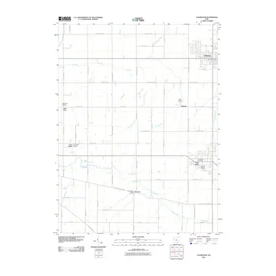
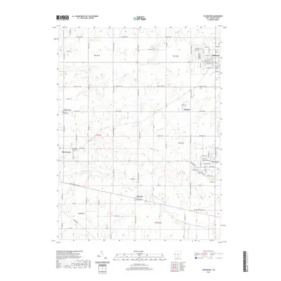
 1961 Coldwater1963 Print · USGSMercer County in the early 1960s reveals a landscape defined by the historic Greenville Treaty Line and a network of small Catholic parish settlements. Genealogists and local historians can trace the foundations of St Henry, St Peter, and Philothea alongside the New York Central Railroad.2 unique versions available
 - 1986 Map of Piqua
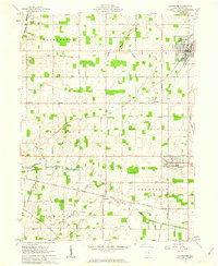
 1986 Piqua1986 Print · USGSThe western Ohio and eastern Indiana borderlands appear here in the mid-1980s, showcasing a landscape of river-valley industry and fertile plains. Researchers can trace historic rail lines like Conrail and Norfolk and Western through towns like Greenville and Winchester.3 unique versions available
 - 2010 Map of Coldwater, 2010 Print
 2010 Coldwater2010 Print · USGSCovers Coldwater, including St. Henry, Wendelin, and other nearby areas
 - 2010 Map of Montezuma, 2010 Print
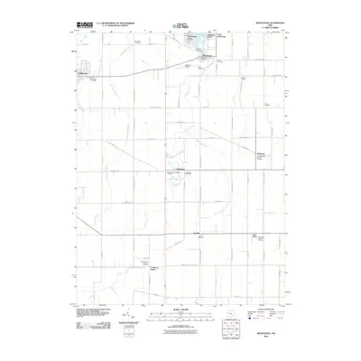 2010 Montezuma2010 Print · USGSCovers Coldwater, including St. Henry, Montezuma, and other nearby areas
 - 2013 Map of Coldwater, 2013 Print
 2013 Coldwater2013 Print · USGSCovers Coldwater, including St. Henry, Wendelin, and other nearby areas
 - 2013 Map of Montezuma, 2013 Print
 2013 Montezuma2013 Print · USGSCovers Coldwater, including St. Henry, Montezuma, and other nearby areas
 - 2016 Map of Montezuma, 2016 Print
 2016 Montezuma2016 Print · USGSCovers Coldwater, including St. Henry, Montezuma, and other nearby areas
 - 2016 Map of Coldwater, 2016 Print
 2016 Coldwater2016 Print · USGSCovers Coldwater, including St. Henry, Wendelin, and other nearby areas
 - 2019 Map of Coldwater, 2019 Print
 2019 Coldwater2019 Print · USGSCovers Coldwater, including St. Henry, Wendelin, and other nearby areas
 - 2019 Map of Montezuma, 2019 Print
 2019 Montezuma2019 Print · USGSCovers Coldwater, including St. Henry, Montezuma, and other nearby areas
 - 2023 Map of Coldwater, 2023 Print
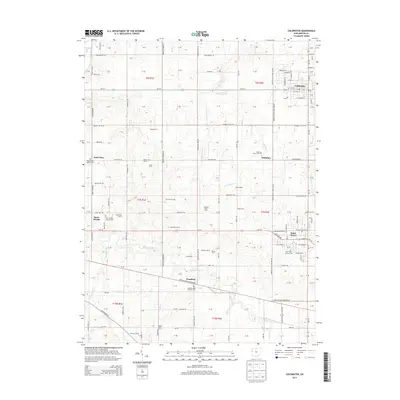
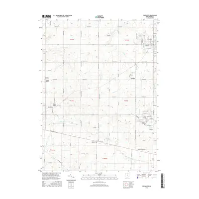
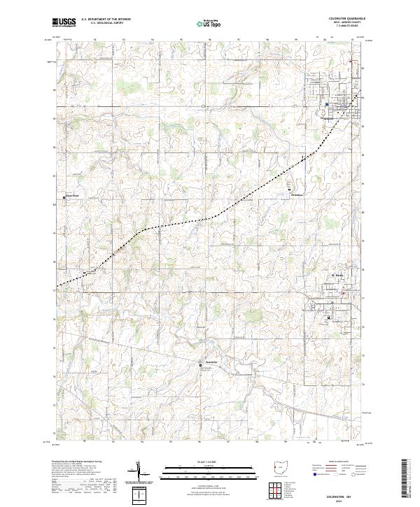 2023 Coldwater2023 Print · USGSMercer County farmland surrounds the growing towns of St. Henry and Coldwater during the early twenty-first century. Genealogists can locate several parish landmarks including Saint Henry Catholic Cem and the small settlement of Philothea.
 - 2023 Map of Montezuma, 2023 Print
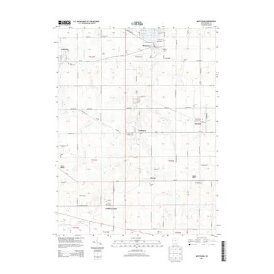
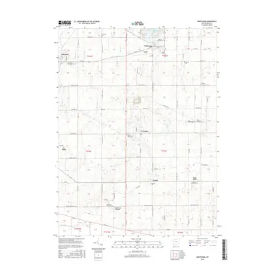
 2023 Montezuma2023 Print · USGSMercer County's rural landscape is captured here in the early twenty-first century, centered on the village of Montezuma and the shores of Grand Lake. Researchers can trace old family lineages through sites like Saint Francis Catholic Cem and the small settlement of Cranberry Prairie.
End of results
Showing maps 1-16 of 16
Top cities near Coldwater
- Celina historical maps
- Saint Marys historical maps
- St. Henry historical maps
- Fort Recovery historical maps
- Rockford historical maps
- Mendon historical maps
See more
Frequently asked questions
- What are the different types of historical maps available for Coldwater?
- What is the oldest map of Coldwater?
- Where can I purchase historical maps of Coldwater for my home or office?
- Where can I download high-res historical maps of Coldwater?
- Are there historical topographic maps available for Coldwater?
- Is there historical aerial imagery available for Coldwater?
- Where are historical maps of Coldwater sourced from?