Old Maps of Clay Township, Ohio
Explore 33 old maps of Clay Township, spanning from 1900 to today. These high-resolution historic maps reveal how streets, neighborhoods, landmarks, and natural features evolved over time — perfect for genealogy, metal detecting, research, and local history exploration.
What you can do with these maps:
- See how Clay Township changed over time: Compare historical maps to modern-day views to trace roads, homesites, rail lines & more.
- View detailed metadata: Each map includes creators, publishers, year, scale, and archive source.
- Overlay maps with satellite & LiDAR: Visualize the past alongside modern tools to explore terrain & human change.
- Trusted historical sources: Maps sourced from the USGS, Library of Congress, and other archives.
- Access maps your way: View online, download high-res files, or order prints for personal or research use.
Start exploring old maps of Clay Township to uncover forgotten places, hidden landmarks, and the deep history beneath your feet.
Clay Township, OH maps
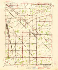
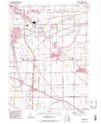
(33)- 1900 Map of Maumee Bay, 1921 Print
 1900 Maumee Bay1921 Print · USGSNorthwest Ohio and the Lake Erie shoreline are shown here just as the regions rail and energy sectors were maturing. Genealogists and historians can locate vanished post offices at Shepardsville Bono P. O. and trace early industrial sites like the Oil Wells and Coke Ovens near Curtice.2 unique versions available
 - 1901 Map of Elmore, 1961 Print
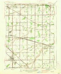
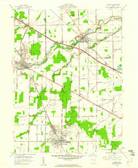
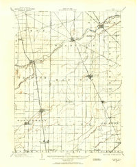 1901 Elmore1961 Print · USGSNorthwest Ohio at the turn of the century was a landscape of thriving rail towns and fertile township acreage. You can trace the path of the Lake Shore Electric Railway through Woodville or locate early settlements like Pemberville and Rising Sun.
 - 1903 Map of Elmore, 1943 Print
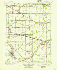
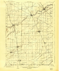 1903 Elmore1943 Print · USGSNorthwest Ohio at the turn of the century was a hive of competing rail lines and riverside market towns. Researchers can trace the early industrial footprints of Gibsonburg, Pemberville, and Elmore alongside the Ohio Central System and Wolf Creek.
 - 1935 Map of Walbridge
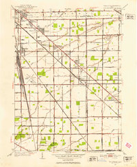
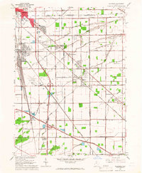
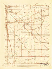 1935 Walbridge1935 Print · USGSThe rail-and-road corridors of Northwest Ohio come alive in this mid-1930s survey of the Walbridge and Millbury area. Genealogists and researchers can pinpoint family landmarks like Hayes Place, the Black Swamp Ch, and early aviation at the Toledo Landing Field.
 - 1935 Map of Genoa
 1935 Genoa1935 Print · USGSOttawa and Lucas counties come alive in the mid-1930s, revealing a landscape of limestone quarries and rural crossroads. Genealogists and historians can locate family landmarks such as the Lutheran Cemetery, tracing the industrial footprint of the U S Gypsum Company and the New York Central line.
 - 1938 Map of Walbridge
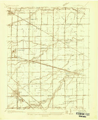
 1938 Walbridge1938 Print · USGSNorthwest Ohio at the height of its rail-and-road expansion shows a landscape defined by industrial hubs and developing neighborhoods. Genealogists and historians can trace family locations near Walbridge Yard, Millbury, and rural landmarks like the Allen Cem.2 unique versions available
 - 1938 Map of Genoa
 1938 Genoa1938 Print · USGSGenoa and its surrounding townships are shown in detail during the late thirties, as the region's rail and road networks were fully established. Genealogists can locate family landmarks like Williston Cem, Thorp Sch, and the quiet crossroads of Grodis Corner.2 unique versions available
 - 1952 Map of Genoa, 1953 Print
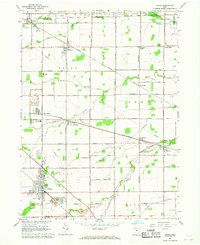
 1952 Genoa1953 Print · USGSNorthwest Ohio at the start of the fifties shows a landscape of busy rail corridors and small crossroads communities. Genealogists can trace family footprints near Genoa or find burial sites at Williston Cem and Clay Cem.2 unique versions available
 - 1952 Map of Walbridge, 1953 Print
 1952 Walbridge1953 Print · USGSThe rural landscapes and rail hubs south of Toledo are captured here in the early fifties, showing the area's transition into a modern industrial corridor. Genealogists and historians can trace family roots at Lake Cem, Mound View, and the long-standing Black Swamp Ch.
 - 1956 Map of Toledo, 1968 Print
 1956 Toledo1968 Print · USGSNorthwest Ohio and the Lake Erie shoreline are shown in detail during the late fifties, showcasing a landscape of heavy industry, railroads, and island communities. Genealogists and historians can trace rail networks like the Chesapeake & Ohio RR or locate landmarks such as the Erie Proving Ground and Kelleys Island.4 unique versions available
 - 1959 Map of Elmore, 1961 Print
 1959 Elmore1961 Print · USGSOttawa and Sandusky Counties appear in the late fifties as a landscape of heavy limestone quarrying and quiet river towns. Researchers can trace family history through several burial sites like North Union Cem and locate industrial landmarks including the TV Relay Station and local oil wells.
 - 1961 Map of Toledo
 1961 Toledo1961 Print · USGSThe western basin of Lake Erie and the industrial heart of Northern Ohio are captured here during the post-war era. Researchers can trace historical rail lines like the New York Central or locate landmarks like the Erie Ordnance Depot and Pelee Island.
 - 1965 Map of Walbridge, 1966 Print
 1965 Walbridge1966 Print · USGSSoutheast of Toledo in the mid-sixties, this region reveals a massive intersection of midwestern rail lines and the maturing interstate system. Researchers can trace the layout of Walbridge, locate Lake Cem, and see the early footprint of the Toledo Airport.3 unique versions available
 - 1966 Map of Genoa, 1968 Print
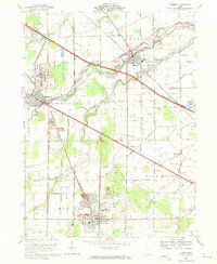
 1966 Genoa1968 Print · USGSThe rail and quarry landscapes of Ottawa County are meticulously documented during the mid-sixties. Genealogists and historians can trace family roots through Genoa, locate the Williston Cem, or study the industrial footprint of Mine Dumps at Clay Center.2 unique versions available
 - 1969 Map of Elmore, 1971 Print
 1969 Elmore1971 Print · USGSNorthwest Ohio at the close of the 1960s reveals a landscape of river-bend villages and emerging highway infrastructure. Genealogists and historians can trace family-named sites like Winkle Rd, find local schools like Welker Sch, and locate numerous Oil Wells and quarries.2 unique versions available
 - 1986 Map of Toledo
 1986 Toledo1986 Print · USGSGreater Toledo and the Lake Erie shoreline are captured here in the mid-eighties, showcasing a massive network of industrial waterways and rail lines. You can trace the path of the Maumee River past Rossford or explore the conservation lands at Ottawa National Wildlife Refuge.2 unique versions available
 - 1986 Map of Findlay
 1986 Findlay1986 Print · USGSNorthwest Ohio's industrial and agricultural heartland is documented here in the mid-1980s, centered on the major hubs of Findlay, Fostoria, and Tiffin. Researchers can trace the intersections of the BALTIMORE AND OHIO railroad and family sites near Greenlawn Cem or Sagar Ridge.2 unique versions available
 - 1994 Map of Walbridge, 1998 Print
 1994 Walbridge1998 Print · USGSWood County and Lucas County geography in the 1990s reveals a landscape shaped by massive rail yards and the Ohio Turnpike. Trace local history at Millbury, Zion Ch, and the extensive Walbridge Yard during this era of regional growth.
 - 2010 Map of Walbridge, 2010 Print
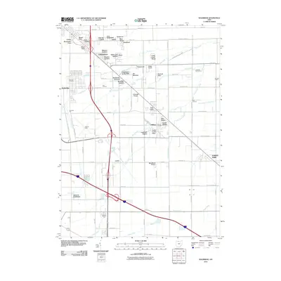 2010 Walbridge2010 Print · USGSCovers Clay Township, including Oregon, Northwood, and other nearby areas
 - 2010 Map of Genoa, 2010 Print
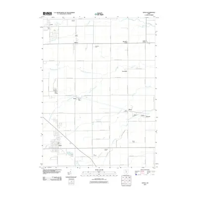 2010 Genoa2010 Print · USGSCovers Clay Township, including Genoa, Clay Center, and other nearby areas
 - 2010 Map of Elmore, 2010 Print
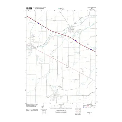 2010 Elmore2010 Print · USGSCovers Clay Township, including Gibsonburg, Woodville, and other nearby areas
 - 2013 Map of Walbridge, 2013 Print
 2013 Walbridge2013 Print · USGSCovers Clay Township, including Oregon, Northwood, and other nearby areas
 - 2013 Map of Genoa, 2013 Print
 2013 Genoa2013 Print · USGSCovers Clay Township, including Genoa, Clay Center, and other nearby areas
 - 2013 Map of Elmore, 2013 Print
 2013 Elmore2013 Print · USGSCovers Clay Township, including Gibsonburg, Woodville, and other nearby areas
 - 2016 Map of Elmore, 2016 Print
 2016 Elmore2016 Print · USGSCovers Clay Township, including Gibsonburg, Woodville, and other nearby areas
Showing maps 1-25 of 33
Top cities near Clay Township
- Toledo historical maps
- Bedford Township historical maps
- Oregon historical maps
- Fremont historical maps
- Rossford historical maps
- Northwood historical maps
See more
Top neighborhoods of Clay Township
Frequently asked questions
- What are the different types of historical maps available for Clay Township?
- What is the oldest map of Clay Township?
- Where can I purchase historical maps of Clay Township for my home or office?
- Where can I download high-res historical maps of Clay Township?
- Are there historical topographic maps available for Clay Township?
- Is there historical aerial imagery available for Clay Township?
- Where are historical maps of Clay Township sourced from?