Old Maps of Hollis, Oklahoma
Explore 10 old maps of Hollis, spanning from 1955 to today. These high-resolution historic maps reveal how streets, neighborhoods, landmarks, and natural features evolved over time — perfect for genealogy, metal detecting, research, and local history exploration.
What you can do with these maps:
- See how Hollis changed over time: Compare historical maps to modern-day views to trace roads, homesites, rail lines & more.
- View detailed metadata: Each map includes creators, publishers, year, scale, and archive source.
- Overlay maps with satellite & LiDAR: Visualize the past alongside modern tools to explore terrain & human change.
- Trusted historical sources: Maps sourced from the USGS, Library of Congress, and other archives.
- Access maps your way: View online, download high-res files, or order prints for personal or research use.
Start exploring old maps of Hollis to uncover forgotten places, hidden landmarks, and the deep history beneath your feet.
Hollis, OK maps
(10)- 1955 Map of Lawton, 1958 Print
 1955 Lawton1958 Print · USGSSouthwestern Oklahoma and North Texas are shown here in the mid-fifties, dominated by the Wichita Mountains and the vital Red River watershed. Genealogists and historians can trace the foundations of Lawton alongside rural landmarks like Rainy Mountain Church and Pleasant Hill School.5 unique versions available
 - 1961 Map of Hollis, 1963 Print
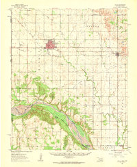 1961 Hollis1963 Print · USGSHarmon County, Oklahoma, in the early sixties showcases a landscape defined by the Prairie Dog Town Fork Red River and the arrival of modern infrastructure. Researchers can locate family landmarks like Bitter Creek Cem, Antioch Ch, and the local Drive-in Theater in Hollis.
 - 1975 Map of Hollis NW
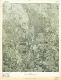 1975 Hollis NW1975 Print · USGSHollis and the surrounding plains of Southwest Oklahoma are shown in detail just before the mid-seventies. Local historians can trace the street grids of Hollis and the winding course of Sandy Creek across the agricultural landscape.
 - 1985 Map of Hollis
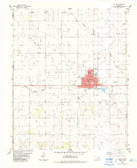 1985 Hollis1985 Print · USGSHollis and the surrounding Harmon County ranchlands are documented here in the mid-eighties as a hub of rural infrastructure. Genealogists and historians can trace local landmarks like Bitter Creek Cemetery, Antioch Ch, and the Old Railroad Grade.
 - 1985 Map of Altus
 1985 Altus1985 Print · USGSSouthwestern Oklahoma in the mid-eighties shows a vast agricultural and military landscape shaped by the Red River forks. Trace the intersections of the Atchison Topeka and Santa Fe railroad with rural points like Fairmount Cem and Duke.2 unique versions available
 - 2010 Map of Hollis, 2010 Print
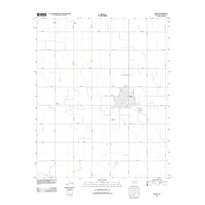
 2010 Hollis2010 Print · USGSCovers Hollis, including Arnett, Harmon County, and other nearby areas
 - 2012 Map of Hollis, 2012 Print
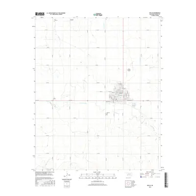
 2012 Hollis2012 Print · USGSCovers Hollis, including Arnett, Harmon County, and other nearby areas
 - 2016 Map of Hollis, 2016 Print
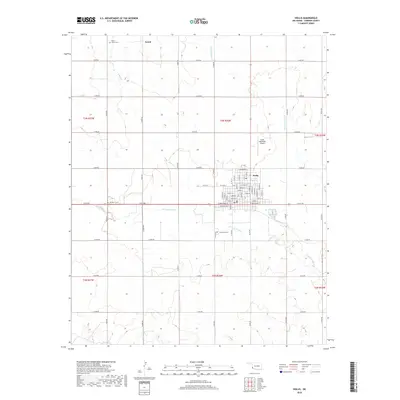
 2016 Hollis2016 Print · USGSCovers Hollis, including Arnett, Harmon County, and other nearby areas
 - 2018 Map of Hollis, 2018 Print
 2018 Hollis2018 Print · USGSCovers Hollis, including Arnett, Harmon County, and other nearby areas
 - 2022 Map of Hollis, 2022 Print
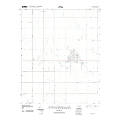
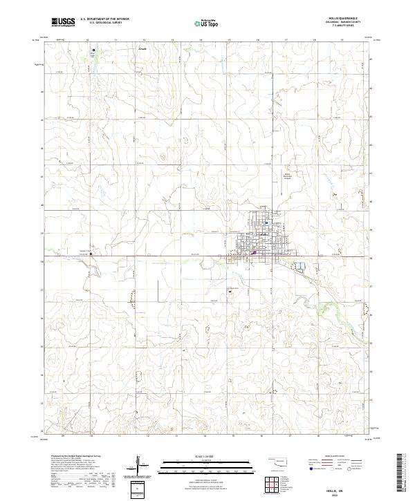 2022 Hollis2022 Print · USGSThe community of Hollis serves as the regional hub in this 2022 survey of southwestern Oklahoma. Genealogists and researchers can locate the Harmon County Courthouse and several burial sites including Bitter Creek Cem and Fairmount Cem.
End of results
Showing maps 1-10 of 10
Top cities near Hollis
Frequently asked questions
- What are the different types of historical maps available for Hollis?
- What is the oldest map of Hollis?
- Where can I purchase historical maps of Hollis for my home or office?
- Where can I download high-res historical maps of Hollis?
- Are there historical topographic maps available for Hollis?
- Is there historical aerial imagery available for Hollis?
- Where are historical maps of Hollis sourced from?