Old Maps of Long Creek, Oregon
Explore 11 old maps of Long Creek, spanning from 1949 to today. These high-resolution historic maps reveal how streets, neighborhoods, landmarks, and natural features evolved over time — perfect for genealogy, metal detecting, research, and local history exploration.
What you can do with these maps:
- See how Long Creek changed over time: Compare historical maps to modern-day views to trace roads, homesites, rail lines & more.
- View detailed metadata: Each map includes creators, publishers, year, scale, and archive source.
- Overlay maps with satellite & LiDAR: Visualize the past alongside modern tools to explore terrain & human change.
- Trusted historical sources: Maps sourced from the USGS, Library of Congress, and other archives.
- Access maps your way: View online, download high-res files, or order prints for personal or research use.
Start exploring old maps of Long Creek to uncover forgotten places, hidden landmarks, and the deep history beneath your feet.
Long Creek, OR maps
(11)- 1949 Map of Long Creek, 1959 Print
 1949 Long Creek1959 Print · USGSGrant County is captured here in the late 1940s, showing a high-country landscape of timber and ranching before modern development. Genealogists and historians can locate old rural hubs like Round Basin School and trace industrial sites such as Fox Mill and the Cohoe Mine.2 unique versions available
 - 1951 Map of Long Creek
 1951 Long Creek1951 Print · USGSMid-century Grant County is defined here by its high-altitude timber and mining operations within the Malheur National Forest. Researchers can locate early forest infrastructure like the Black Butte Lookout alongside local industry at the Fox Mill and Cohoe Mine.2 unique versions available
 - 1955 Map of Canyon City, 1966 Print
 1955 Canyon City1966 Print · USGSCentral Oregon's high desert and timber country are captured here in the mid-fifties, showing the rugged ranching and logging landscape. Trace the path of the Sumpter Valley Ry or locate remote settlements like Izee, Whitney, and Ritter.4 unique versions available
 - 1959 Map of Canyon City
 1959 Canyon City1959 Print · USGSEastern Oregon in the late fifties was a landscape of high timber and remote river valleys shaped by the cattle and mining trades. Genealogists and historians can trace the paths of the Sumpter Valley RR and find early settlements like Antone, Richmond, and Dayville.2 unique versions available
 - 1980 Map of Monument, 1997 Print
 1980 Monument1997 Print · USGSCentral Oregon’s river-cut high country comes into focus in the early 1980s, documenting a landscape of remote ranching and timber work. Genealogists and researchers can trace local landmarks like Ritter, the Cohoe Mine, and the high reaches of Sourdough Ridge.
 - 1990 Map of Long Creek
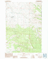 1990 Long Creek1990 Print · USGSLong Creek sits at the gateway to the high plateau during the late twentieth century, showing the town's footprint alongside the high peaks of the Blue Mountains. Genealogists and hikers can trace the Cem, the route of Highway 395, and the timbered slopes of Long Creek Mountain.
 - 1999 Map of Long Creek, 2002 Print
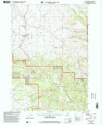 1999 Long Creek2002 Print · USGSGrant County’s high-elevation ranching and forest lands are centered on Long Creek in the late 1990s. Researchers can trace land use patterns through the DIVERSION DITCH and find local landmarks like the Cem and the Carter Park Rest Area near the forest edge.
 - 2011 Map of Long Creek, 2011 Print
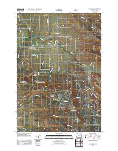 2011 Long Creek2011 Print · USGSCovers Long Creek, including Grant County, United States, and other nearby areas
 - 2014 Map of Long Creek, 2014 Print
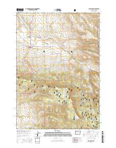 2014 Long Creek2014 Print · USGSCovers Long Creek, including Grant County, United States, and other nearby areas
 - 2020 Map of Long Creek, 2020 Print
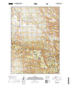 2020 Long Creek2020 Print · USGSCovers Long Creek, including Grant County, United States, and other nearby areas
 - 2023 Map of Long Creek, 2023 Print
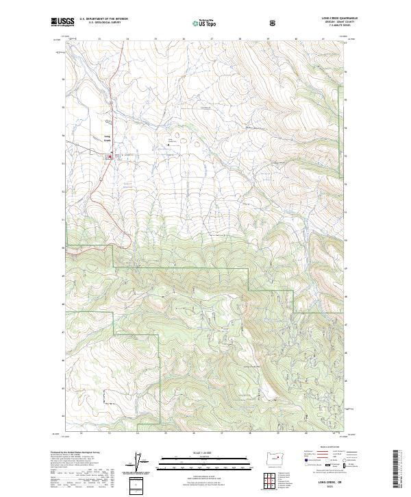 2023 Long Creek2023 Print · USGSIn the central highlands of Grant County, this recent survey shows the settlement of Long Creek as it serves the surrounding ranching and timber country. Researchers can trace family sites near the Long Creek Cem or follow the rugged drainages of Bingeville Creek and Dunning Creek.
End of results
Showing maps 1-11 of 11
Frequently asked questions
- What are the different types of historical maps available for Long Creek?
- What is the oldest map of Long Creek?
- Where can I purchase historical maps of Long Creek for my home or office?
- Where can I download high-res historical maps of Long Creek?
- Are there historical topographic maps available for Long Creek?
- Is there historical aerial imagery available for Long Creek?
- Where are historical maps of Long Creek sourced from?