
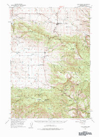
1949 Map of Long Creek
USGS Topo · Published 1959About this map
Long Creek serves as a central hub in this high-altitude landscape of eastern Oregon, where the open valley floors meet the timbered slopes of the Malheur National Forest. The 1940s economy of the region is clearly visible through its industrial and educational infrastructure, featuring remote landmarks like the Round Basin School and timber-processing sites such as the Waterbury Mill and Fox Mill. The terrain is defined by a dense network of drainages, including Fox Creek and Canyon Creek, which carved the rugged canyons that dictated early travel and settlement patterns.
Find a feature on this map
43 named features on this map. Tap any name to fly to it.
Don’t see what you’re looking for? This feature index may not catch every label — zoom into the map to look around manually.
Map Details
Editions of this 1949 Long Creek Map
2 editions found
Other maps of this area

1940 · Mount Vernon
USGS Topo · 1:62,500

1940 · Aldrich Mtn.
USGS Topo · 1:62,500

1940 · John Day
USGS Topo · 1:62,500

1943 · Aldrich Mtn.
USGS Topo · 1:62,500

1943 · John Day
USGS Topo · 1:62,500

1943 · Mount Vernon
USGS Topo · 1:62,500

1949 · Susanville
USGS Topo · 1:62,500

1950 · Ritter
USGS Topo · 1:62,500

1951 · Susanville
USGS Topo · 1:62,500

1951 · Long Creek
USGS Topo · 1:62,500