
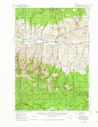
1940 Map of Mount Vernon
USGS Topo · Published 1959About this map
The John Day River flows through the heart of this valley, anchoring a landscape defined by ranching and high-elevation resources during the late 1930s. The settlement of Mount Vernon sits at a geographic crossroads, surrounded by established holdings like Fletcher Ranch and Benson Ranch. Education in this rural expanse was anchored by local landmarks such as Belshaw Sch and Luce Sch, while the presence of the Mt Vernon Hot Springs indicates the unique geology of the area.
Find a feature on this map
84 named features on this map. Tap any name to fly to it.
Don’t see what you’re looking for? This feature index may not catch every label — zoom into the map to look around manually.
Map Details
Editions of this 1940 Mount Vernon Map
2 editions found
Other maps of this area

1940 · Aldrich Mtn.
USGS Topo · 1:62,500

1940 · John Day
USGS Topo · 1:62,500

1943 · Aldrich Mtn.
USGS Topo · 1:62,500

1943 · John Day
USGS Topo · 1:62,500

1943 · Mount Vernon
USGS Topo · 1:62,500

1949 · Long Creek
USGS Topo · 1:62,500

1949 · Susanville
USGS Topo · 1:62,500

1951 · Susanville
USGS Topo · 1:62,500

1951 · Long Creek
USGS Topo · 1:62,500

1951 · Courtrock
USGS Topo · 1:62,500