
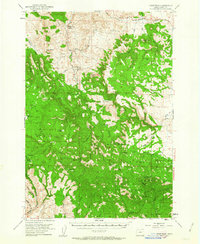
1951 Map of Courtrock
USGS Topo · Published 1952About this map
Hamilton sits in the northern reaches of this mid-century survey, serving as a focal point for a remote section of Grant County defined by the high elevations of Hamilton Mountain and Rudio Mountain. The map details the isolated community life of the era, centered around the Courtrock PO and the nearby Courtrock Sch, where homesteaders navigated a landscape of dramatic geologic features like Courthouse Rock and Barber Pole Butte. Much of the southern and eastern terrain is dominated by the Malheur National Forest, where a network of water sources including Cottonwood Creek and Fox Creek supported cattle ranching and early forest management. Genealogical researchers will find value in the specific placement of isolated structures and the Cem near Hamilton, while the inclusion of the Gaging Sta on Fox Creek points to early water management efforts in this part of the Oregon high country.
Find a feature on this map
47 named features on this map. Tap any name to fly to it.
Don’t see what you’re looking for? This feature index may not catch every label — zoom into the map to look around manually.
Map Details
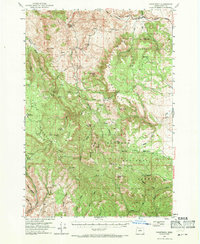
Editions of this 1951 Courtrock Map
3 editions found
Other maps of this area

1932 · Dayville
USGS Topo · 1:125,000

1936 · Dayville
USGS Topo · 1:125,000

1940 · Mount Vernon
USGS Topo · 1:62,500

1940 · Aldrich Mtn.
USGS Topo · 1:62,500

1943 · Aldrich Mtn.
USGS Topo · 1:62,500

1943 · Mount Vernon
USGS Topo · 1:62,500

1949 · Long Creek
USGS Topo · 1:62,500

1950 · Ritter
USGS Topo · 1:62,500

1951 · Long Creek
USGS Topo · 1:62,500

1951 · Monument
USGS Topo · 1:62,500