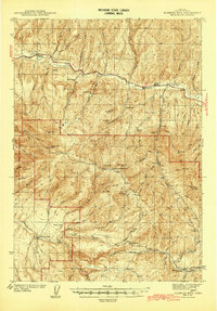
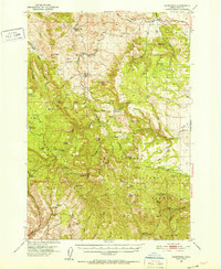
1932 Map of Dayville
USGS Topo · Published 1958About this map
Dayville serves as the focal point of this high-desert landscape in the early 1930s, situated where the river valley meets the upland plateaus of Central Oregon. The map documents a sparsely populated ranching and timber economy, evidenced by a network of family-named settlements like Dexter Ranch, Laughlin Ranch, and the Delore Place. Vital infrastructure for these remote communities is marked by rural schoolhouses, including the Paulina Valley Sch and Suplee Sch.
Find a feature on this map
159 named features on this map. Tap any name to fly to it.
Don’t see what you’re looking for? This feature index may not catch every label — zoom into the map to look around manually.
Map Details
Editions of this 1932 Dayville Map
This is the sole edition of this map. No revisions or reprints were ever made.
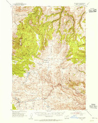
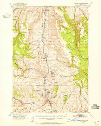
Other maps of this area

1926 · Mitchell
USGS Topo · 1:125,000
1936 · Dayville
USGS Topo · 1:125,000
1940 · Aldrich Mtn.
USGS Topo · 1:62,500
1943 · Aldrich Mtn.
USGS Topo · 1:62,500
1951 · Courtrock
USGS Topo · 1:62,500
1953 · Richmond
USGS Topo · 1:62,500
1953 · Picture
USGS Topo · 1:62,500

1955 · Crescent
USGS Topo · 1:250,000

1955 · Bend
USGS Topo · 1:250,000

1955 · Burns
USGS Topo · 1:250,000