
1926 Map of Mitchell
USGS Topo · Published 1926About this map
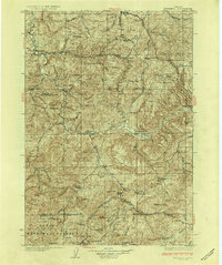
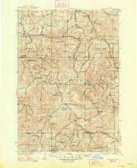
John River cuts a deep, winding path through this central Oregon landscape surveyed in the mid-1920s, defining a region of dramatic geology and isolated ranching outposts. The map reveals a network of rural education, marking sites like Cottonwood School and Twickenham School that served the scattered families of Wheeler, Wasco, and Jefferson counties. Landforms like Sutton Mountain and the Painted Hills dominate the topography, illustrating the distinct erosional character of the high desert.
Find a feature on this map
109 named features on this map. Tap any name to fly to it.
Don’t see what you’re looking for? This feature index may not catch every label — zoom into the map to look around manually.
Map Details
Editions of this 1926 Mitchell Map
3 editions found
Other maps of this area

1916 · Condon
USGS Topo · 1:125,000

1932 · Dayville
USGS Topo · 1:125,000

1936 · Dayville
USGS Topo · 1:125,000

1948 · Ochoco Reservoir
USGS Topo · 1:62,500

1950 · Ochoco Reservoir
USGS Topo · 1:62,500

1951 · Lookout Mtn
USGS Topo · 1:62,500

1953 · Richmond
USGS Topo · 1:62,500

1953 · Spray
USGS Topo · 1:62,500

1953 · Pendleton
USGS Topo · 1:250,000

1953 · The Dalles
USGS Topo · 1:250,000