
1953 Map of The Dalles
USGS Topo · Published 1965About this map
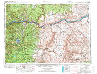
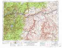
Mt Hood dominates the western horizon of this mid-century survey, a period when the engineering of the Columbia River was fundamentally reshaping the regional economy and landscape. The map captures a critical transition as major hydroelectric projects like The Dalles Dam and Bonneville Dam appear alongside the rising John Day Dam, signaling the shift toward the modern power and navigation systems that define the Pacific Northwest today. On the river banks, the infrastructure of the Union Pacific and Spokane Portland and Seattle railroads run parallel to the Columbia River Highway, tracing the historical transit corridor through the gorge.
Find a feature on this map
302 named features on this map. Tap any name to fly to it.
Don’t see what you’re looking for? This feature index may not catch every label — zoom into the map to look around manually.
Map Details
Editions of this 1953 The Dalles Map
3 editions found
Other maps of this area

1904 · Mount Adams
USGS Topo · 1:125,000

1906 · Blalock Island
USGS Topo · 1:125,000

1907 · Mount Adams
USGS Topo · 1:125,000

1908 · Blalock Island
USGS Topo · 1:125,000

1910 · Zillah
USGS Topo · 1:125,000

1915 · Prosser
USGS Topo · 1:125,000

1916 · Arlington
USGS Topo · 1:125,000

1916 · Estacada
USGS Topo · 1:125,000

1916 · Condon
USGS Topo · 1:125,000

1917 · Prosser
USGS Topo · 1:125,000