
1910 Map of Zillah
USGS Topo · Published 1910About this map
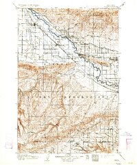
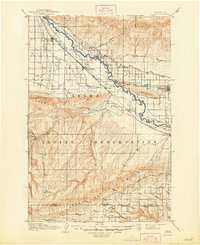
The Yakima River valley serves as the central artery for this 1906 survey, showcasing a landscape undergoing rapid agricultural transformation. The influence of early irrigation is evident through the path of the Sunnyside Canal, which parallels the river and supports growing communities like Sunnyside and Zillah. To the south, the vast Yakima Indian Reservation covers the foothills, while the Northern Pacific railroad connects established shipping points like Toppenish and Wapato with smaller rail stops such as Alfalfa and Satus.
Find a feature on this map
34 named features on this map. Tap any name to fly to it.
Don’t see what you’re looking for? This feature index may not catch every label — zoom into the map to look around manually.
Map Details
Editions of this 1910 Zillah Map
3 editions found
Other maps of this area

1899 · Ellensburg
USGS Topo · 1:125,000

1901 · Ellensburg
USGS Topo · 1:125,000

1906 · Blalock Island
USGS Topo · 1:125,000

1908 · Blalock Island
USGS Topo · 1:125,000

1915 · Prosser
USGS Topo · 1:125,000

1916 · Arlington
USGS Topo · 1:125,000

1917 · Priest Rapids
USGS Topo · 1:62,500

1917 · Prosser
USGS Topo · 1:125,000

1936 · Yakima East
USGS Topo · 1:48,000

1936 · Hog Ranch Buttes
USGS Topo · 1:48,000