
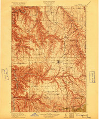
1916 Map of Condon
USGS Topo · Published 1916About this map
The Condon plateau and the deeply incised canyon lands of north-central Oregon are captured here during a period of transition in the mid-1910s. This survey, conducted by topographic engineers like C.H. Birdseye and Albert Pike, reveals a landscape dominated by the winding course of the John Day River and its myriad tributaries, including Thirtymile Creek and Ferry Canyon. The map illustrates a high-desert agrarian society organized around the Oregon Washington railroad line, with small settlements such as Mikkalo, Clem, and Gwendolen serving as local hubs.
Find a feature on this map
68 named features on this map. Tap any name to fly to it.
Don’t see what you’re looking for? This feature index may not catch every label — zoom into the map to look around manually.
Map Details
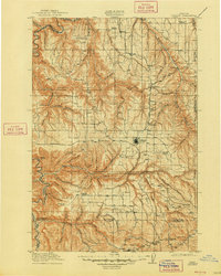
Editions of this 1916 Condon Map
3 editions found
Other maps of this area

1906 · Blalock Island
USGS Topo · 1:125,000

1908 · Blalock Island
USGS Topo · 1:125,000

1916 · Arlington
USGS Topo · 1:125,000

1926 · Mitchell
USGS Topo · 1:125,000

1953 · Spray
USGS Topo · 1:62,500

1953 · Pendleton
USGS Topo · 1:250,000

1953 · The Dalles
USGS Topo · 1:250,000

1955 · Bend
USGS Topo · 1:250,000

1955 · Canyon City
USGS Topo · 1:250,000

1956 · The Dalles
USGS Topo · 1:250,000