
1907 Map of Mount Adams
USGS Topo · Published 1907About this map
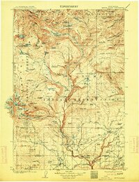
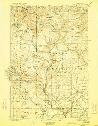
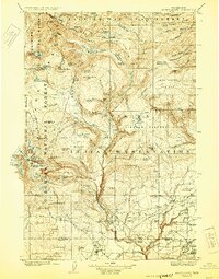
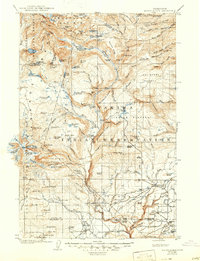
Glaciers and alpine terrain dominate the high country around Mount Adams, where the ice of the Adams Glacier, Klickitat Glacier, and Mazama Glacier feeds a network of descending creeks. To the east, the landscape transitions into the high plateaus and ridges of the Yakima Indian Reservation, including the Lincoln Plateau and Lost Horse Plateau. This early twentieth-century survey captures a wilderness economy still defined by isolated outposts and livestock management, evidenced by numerous named enclosures like Vessic Corral, Swamp Corral, and Beard Corral.
Find a feature on this map
142 named features on this map. Tap any name to fly to it.
Don’t see what you’re looking for? This feature index may not catch every label — zoom into the map to look around manually.
Map Details
Editions of this 1907 Mount Adams Map
5 editions found
Other maps of this area

1899 · Ellensburg
USGS Topo · 1:125,000

1901 · Ellensburg
USGS Topo · 1:125,000

1902 · Mount Aix
USGS Topo · 1:125,000

1904 · Mt Aix
USGS Topo · 1:125,000

1904 · Mount Adams
USGS Topo · 1:125,000

1924 · Mt Rainier
USGS Topo · 1:96,000

1926 · Steamboat Mtn
USGS Topo · 1:125,000

1926 · Hood River
USGS Topo · 1:125,000

1928 · Mt Rainier
USGS Topo · 1:125,000

1929 · Hood River
USGS Topo · 1:125,000