
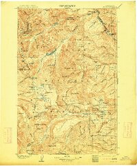
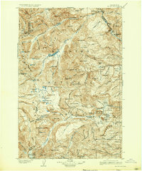
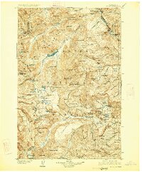
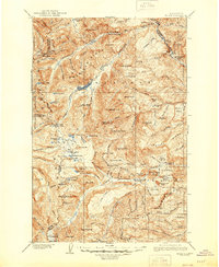
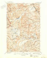
1904 Map of Mt Aix
USGS Topo · Published 1904About this map
Mount Rainier Forest Reserve dominates this 1902-surveyed landscape, illustrating a high-elevation wilderness before modern infrastructure. The map documents early mountain transit corridors like Carlton Pass, Cowlitz Pass, and White Pass, which provided critical crossing points for early travelers and surveyors. Human activity is centered around a few remote outposts, including the Lake House at Bumping Lake and the Russell Ranch located near the Tieton River.
Find a feature on this map
147 named features on this map. Tap any name to fly to it.
Don’t see what you’re looking for? This feature index may not catch every label — zoom into the map to look around manually.
Map Details
Editions of this 1904 Mt Aix Map
6 editions found
Other maps of this area

1897 · Mount Stuart
USGS Topo · 1:125,000

1899 · Ellensburg
USGS Topo · 1:125,000

1901 · Ellensburg
USGS Topo · 1:125,000

1901 · Snoqualmie Pass
USGS Topo · 1:125,000

1902 · Mount Aix
USGS Topo · 1:125,000

1902 · Mount Stuart
USGS Topo · 1:125,000

1903 · Snoqualmie
USGS Topo · 1:125,000

1904 · Mount Adams
USGS Topo · 1:125,000

1907 · Mount Adams
USGS Topo · 1:125,000

1913 · Cedar Lake
USGS Topo · 1:125,000