
Loading...
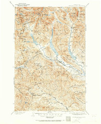
Loading map...1901 Map of Snoqualmie Pass
USGS Topo · Published 1956About this map
High mountain passes and the engineering of the Northern Pacific railroad define this alpine landscape at the turn of the century. The map centers on the critical transportation corridor where the Stampede Tunnel pierces the crest, connecting the Yakima River valley to the coastal slope. Below the peaks, early mountain settlements like Easton, Ronald, and Nelson provide evidence of the emerging infrastructure required to manage these transcontinental routes.
Find a feature on this map
152 named features on this map. Tap any name to fly to it.
Don’t see what you’re looking for? This feature index may not catch every label — zoom into the map to look around manually.
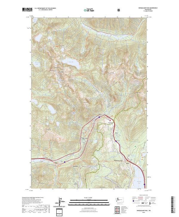
Map Details
Date Portrayed1901
Date Published1956
PublisherU.S. Geological Survey
Map TypeTopographic
Scale1:125,000
Physical Dimensions17.1 x 20.9 inches
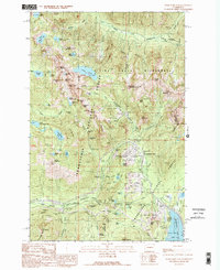
Editions of this 1901 Snoqualmie Pass Map
2 editions found
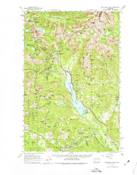
Historical Maps of Cle Elum Through Time
5 maps found

Featured Locations
Source Details
SourceU.S. Geological Survey
CopyrightPublic Domain